A favorite local paddle through mangrove tunnels, shallow bays and the South Paddling Trail
A Place I Keep Coming Back To
Weedon Island Preserve is one of the Tampa Bay paddles I have returned to many times. It is close to home and surrounded by development, yet once I leave the launch and enter the mangrove creeks, the city seems to fall away surprisingly fast.
That contrast is one of the things I enjoy most. A trip can begin in open water beneath a wide Tampa Bay sky, then narrow into a twisting corridor where mangrove branches lean over the kayak and every turn reveals another small pocket of quiet water. The character of the route changes constantly with tide, wind, season and recent weather.
I never come here simply to cover miles. Weedon Island is a place to slow down, work on precise boat control and notice the details—mullet scattering ahead of the bow, crabs on the roots, birds waiting over the shallows and sunlight filtering through the mangrove canopy.
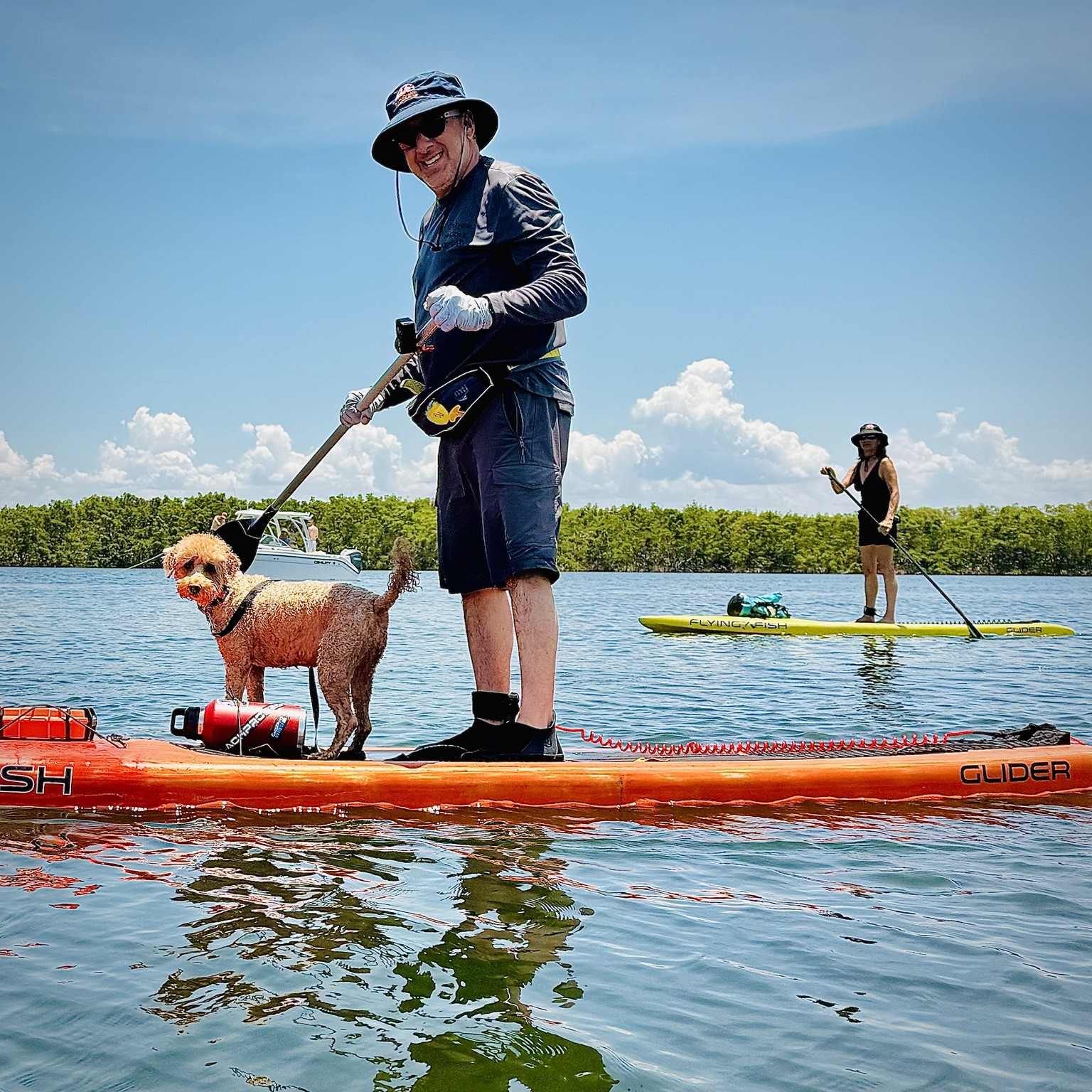
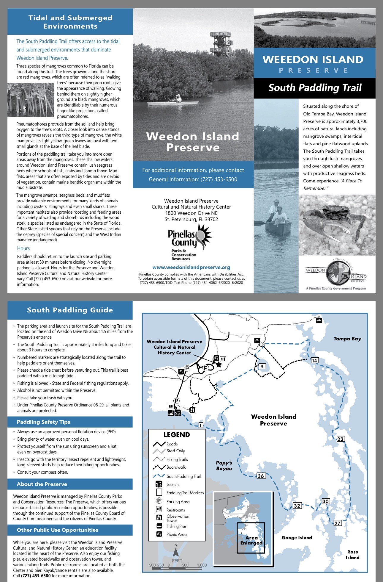
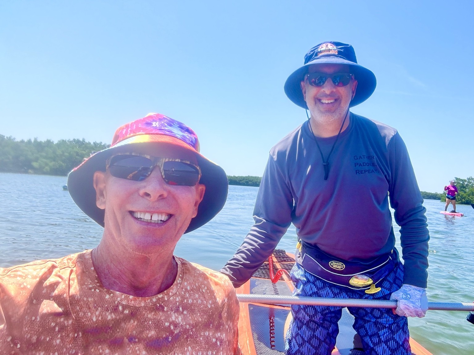
RObbie and Buddy, after paddling through one of the narrow mangrove passages that makes Weedon Island so memorable.Check out the South Paddling Trail brochure and route map.
The South Paddling Trail
The South Paddling Trail is the part of Weedon Island I especially enjoy. It winds through protected mangrove country, crossing shallow grass flats and small bays before slipping into tighter tidal passages. Some stretches feel broad and open; others demand careful turns, short strokes and a willingness to take your time.
The trail is rewarding because it offers several kinds of paddling in a compact area. You can practice efficient forward strokes in the open water, then switch almost immediately to tight maneuvering inside the tunnels. A shorter kayak can be helpful in the narrowest sections, but any paddler who stays relaxed and uses controlled strokes can enjoy the route.
Even with trail markers, the mangrove islands can look remarkably similar. I like to keep track of my position, check the tide before launching and leave enough time to explore without rushing.
Getting There and Launching
The preserve's canoe and kayak launch is reached from Weedon Drive NE. The aerial image below helps show the relationship between the cultural center, upland trails, observation tower, fishing pier and paddling access.
I like arriving with enough time to unload calmly, organize gear and look over the water before committing to a route. Wind direction and visible water level often tell me a lot about what the paddle will feel like.
Practical note: access, parking arrangements, hours and trail conditions can change. Check current preserve information before leaving home.
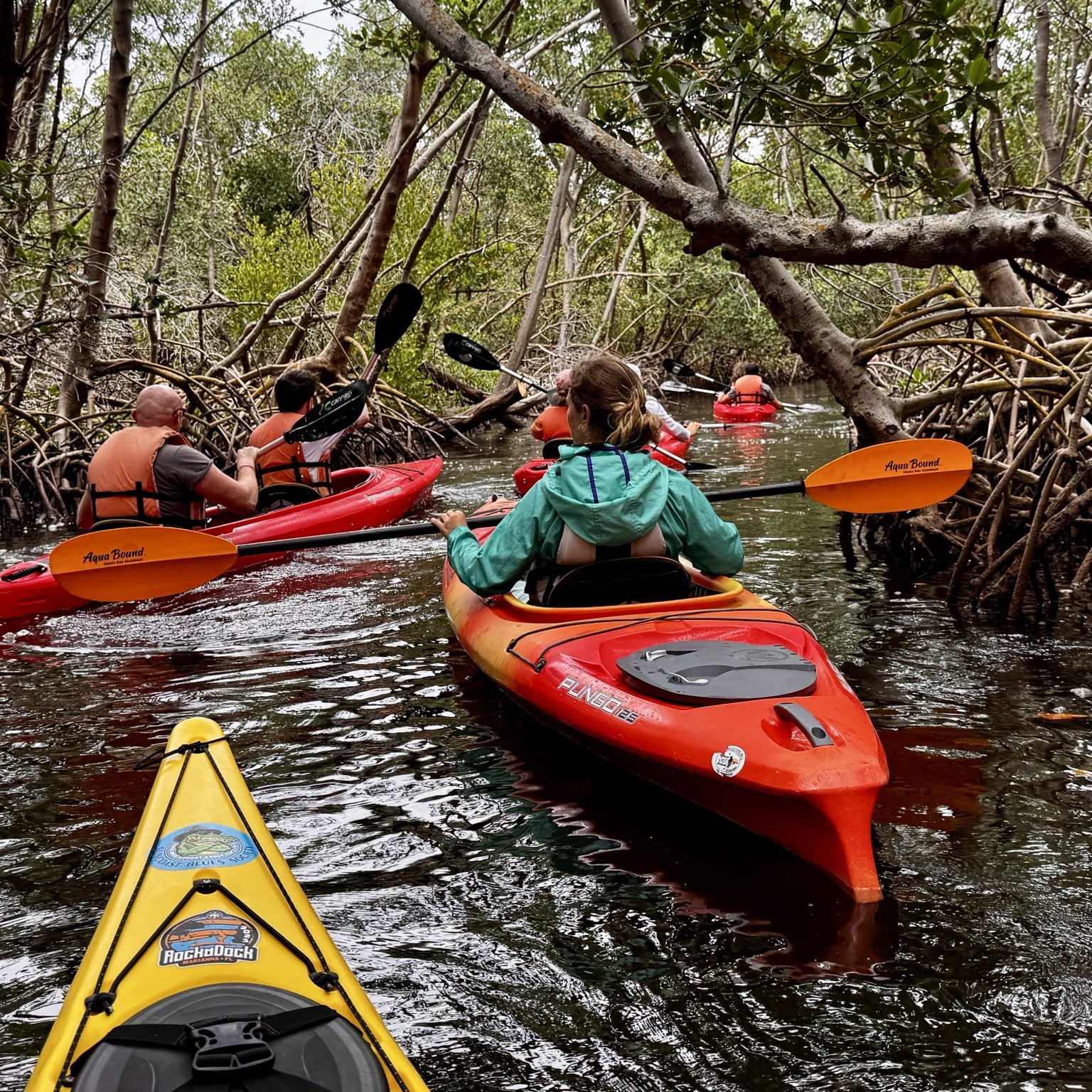
Volunteer day with veterans with PTSD, paddling the trails.
When to Go
The best experience usually comes from matching the trip to the tide and wind. Weedon Island is shallow, and the route can become much slower when water levels are low. Mid to higher water generally makes the mangrove passages easier and reduces the chance of dragging across exposed flats.
TideMid to higher water is usually more forgiving in the tunnels and over shallow flats.
WindProtected creeks can be calm even when the open bay is choppy, but the crossings still deserve respect.
TimeAllow extra time for navigation, photographs, wildlife watching and slow progress through tight passages.
Wildlife and Habitat
The route passes through mangrove shorelines, seagrass beds, mudflats and tidal creeks. Those habitats support fish, crabs, shellfish and an impressive variety of birds. On different trips I may see herons, egrets, ospreys, pelicans and other shorebirds working the edges of the flats.
The best wildlife encounters usually happen when I paddle quietly and let the kayak drift. The preserve rewards patience. The slower I travel, the more I notice.
Maps and Routes
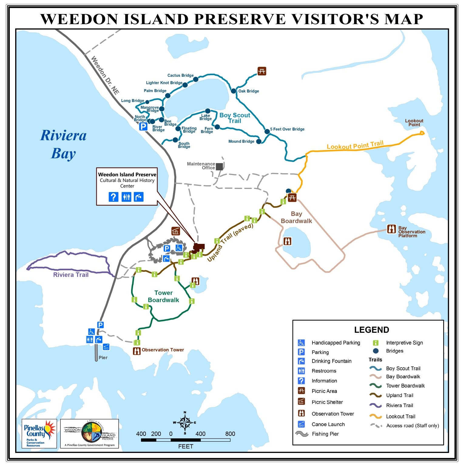
Visitor map showing trails, boardwalks, facilities and the canoe launch.A recorded paddle route extending around the eastern side of the preserve.
Photo Gallery
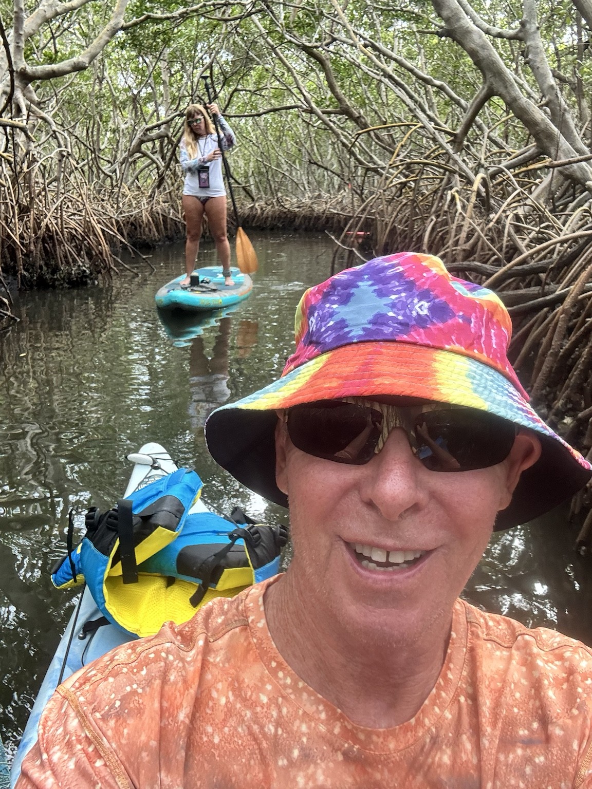
Weedon Island Preserve—“A Place to Remember.”The enclosed mangrove tunnels are the signature experience of the South Paddling Trail.