All photos are clickable to open the full-size image.
On September 28, 2021, Claire and I launched our kayaks at John B. Sargeant Park and headed downstream on one of my favorite kinds of Florida waterway: a quiet, shaded river winding through cypress, hardwood swamp, and dark reflective water. Our destination was Morris Bridge Park. Rather than arranging a shuttle, we made it an out-and-back, paddling downriver to Morris Bridge and then turning around for the paddle back to Sargeant.
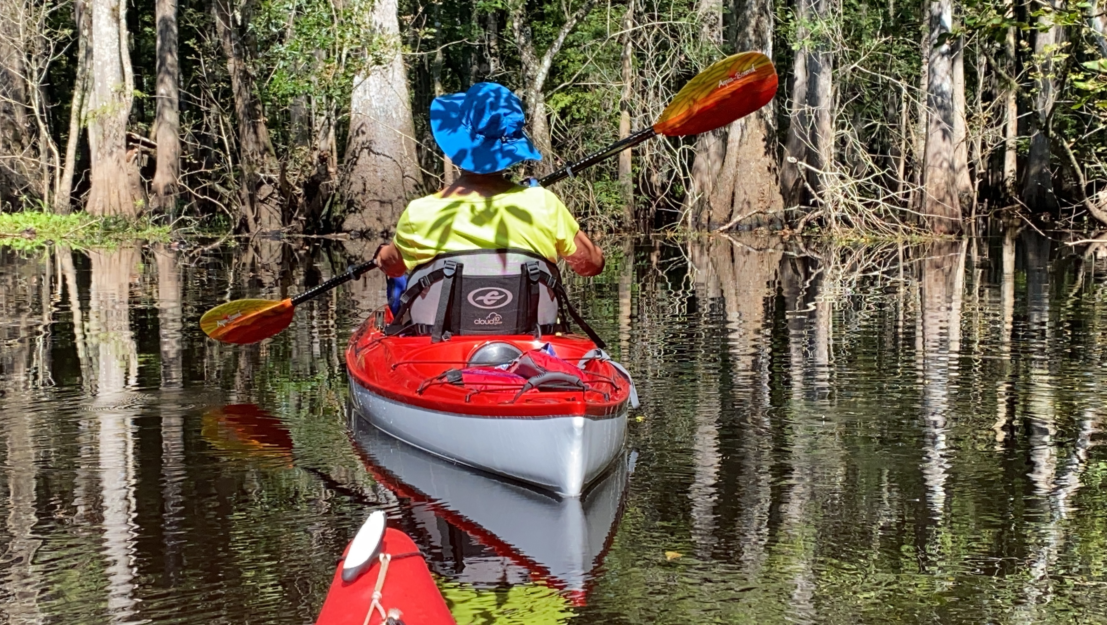
The Hillsborough here feels remarkably wild considering how close it is to Tampa. Much of the trip is enclosed by trees, with cypress knees and fallen timber along the edges, birds tucked into the shoreline, and long calm stretches where the reflections can be almost as sharp as the forest itself.
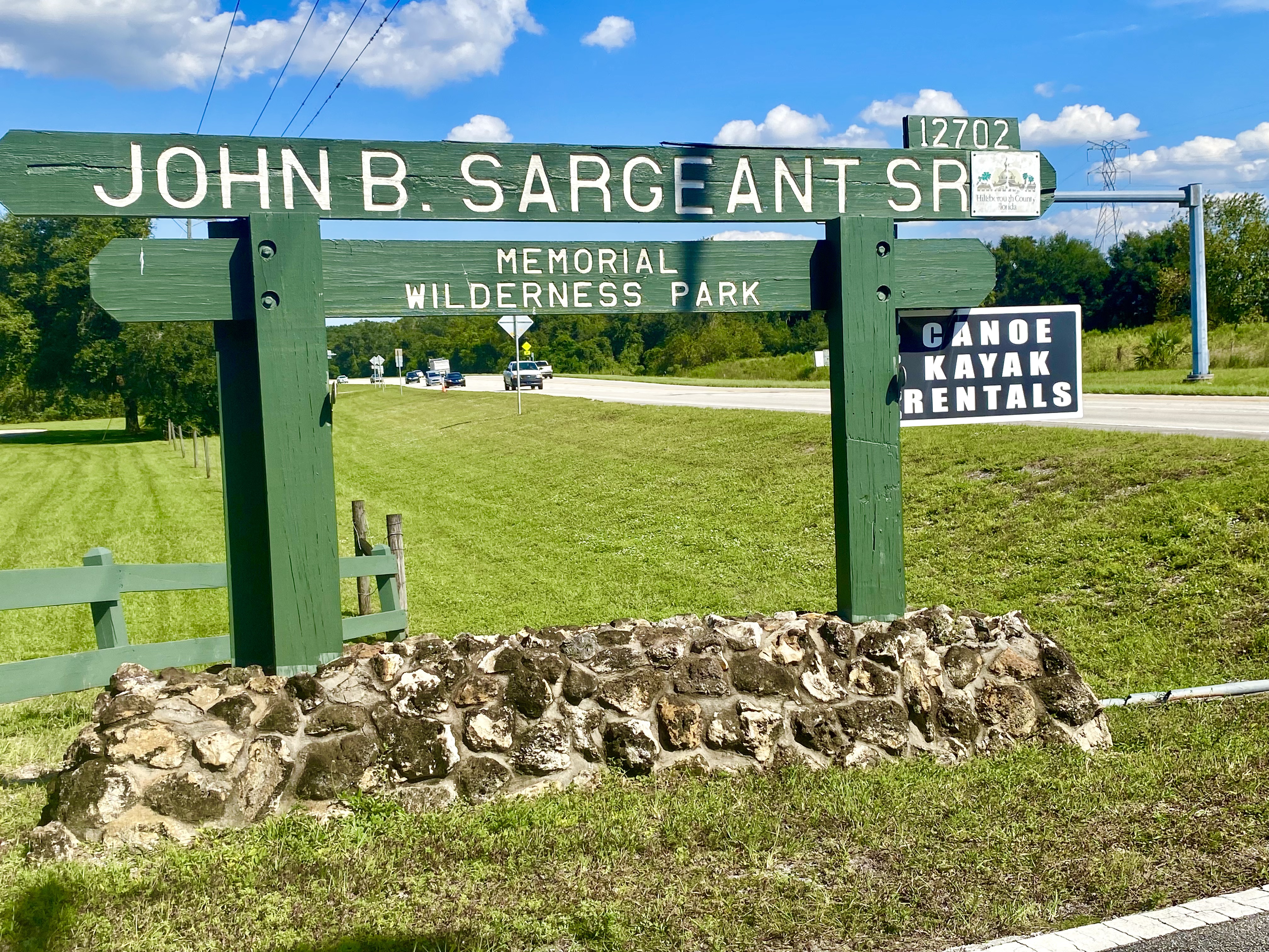
Starting at Sargeant Park
We launched at Sargeant Park and headed downstream toward Morris Bridge. Below the challenging Seventeen Runs section, the river opens into broader water while retaining its cypress-lined swamp setting.
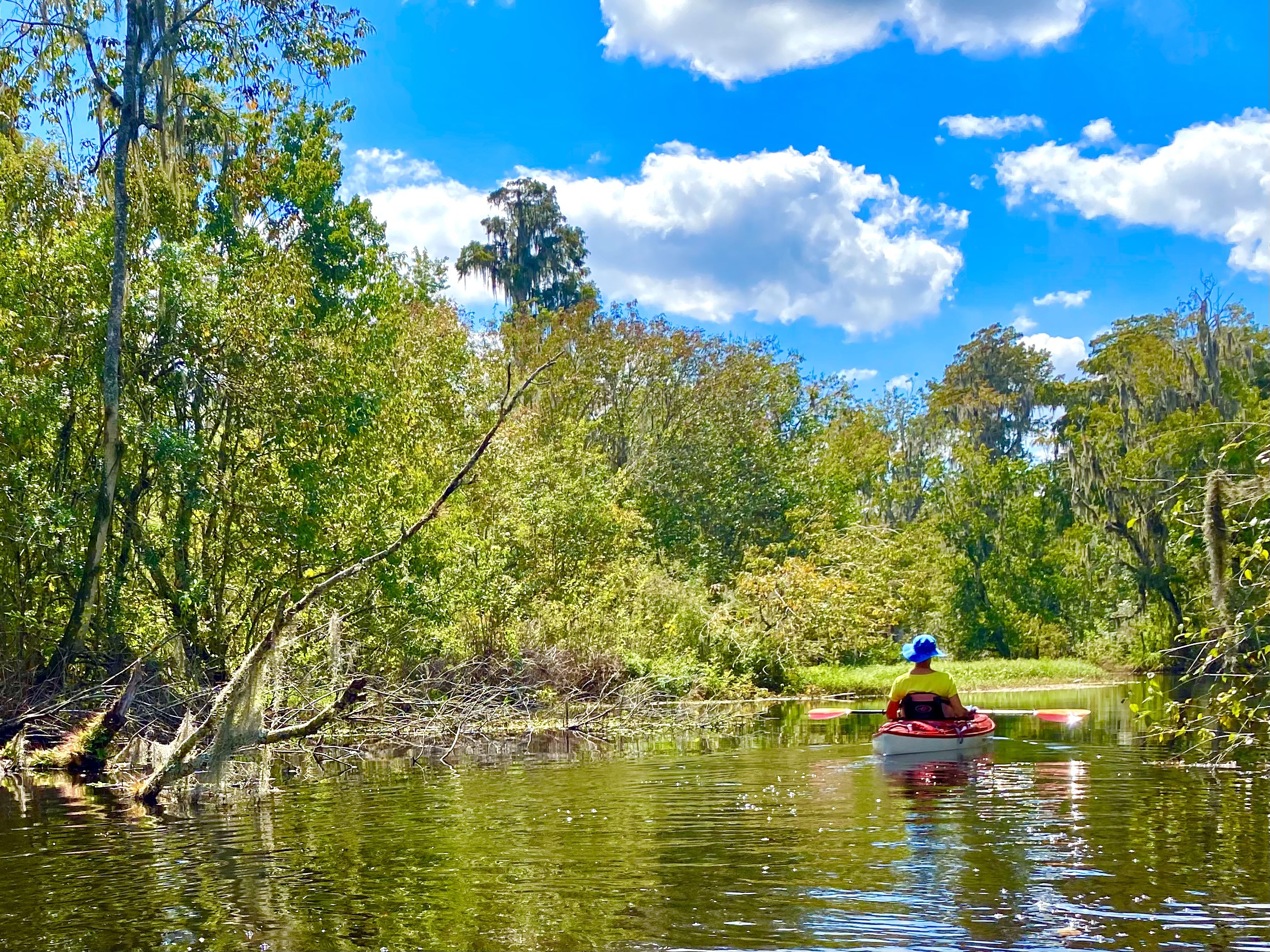
Sunlit openings broke up the shaded stretches, giving us changing views of the trees and their reflections.
A familiar launch with a changing history
Sargeant Park sits at the meeting of Flint Creek and the Hillsborough River. For years this was also the base for Canoe Escape, an outfitter remembered by many local paddlers for canoe rentals and shuttles. An older Florida DEP trail guide lists the business here.
I remember that rental operation disappearing around the COVID years. That is my recollection of the timing, rather than a verified closing date or an explanation of why it closed. Its absence changed the familiar routine at the launch, especially for people who depended on a rental canoe or a shuttle.
References: Earlier DEP guide and outfitter listing
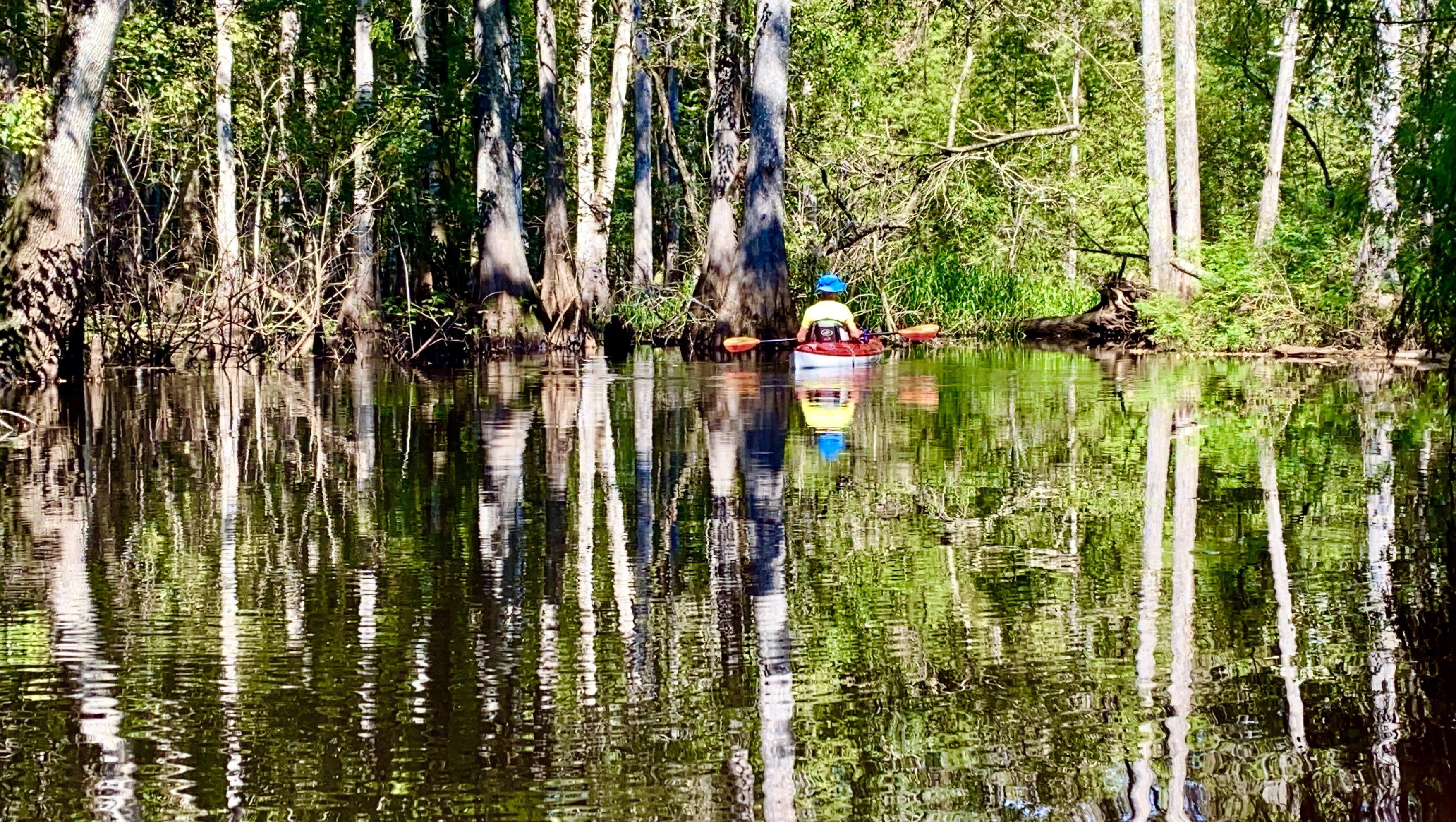
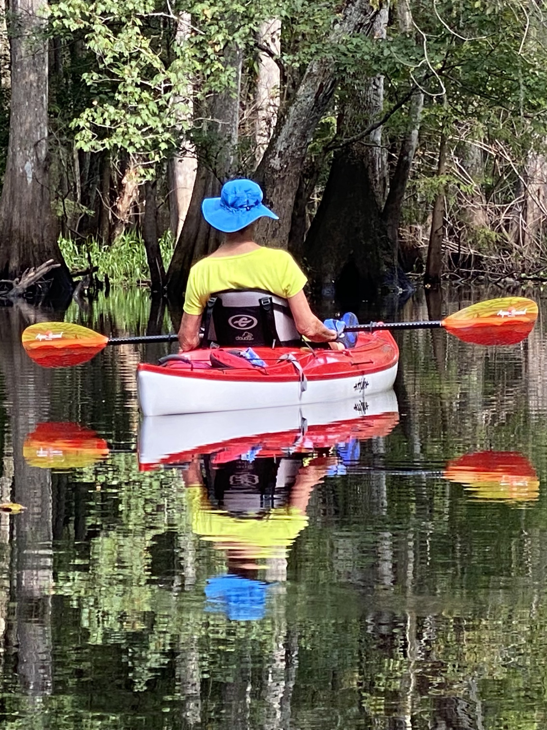
A River Made for Looking Around
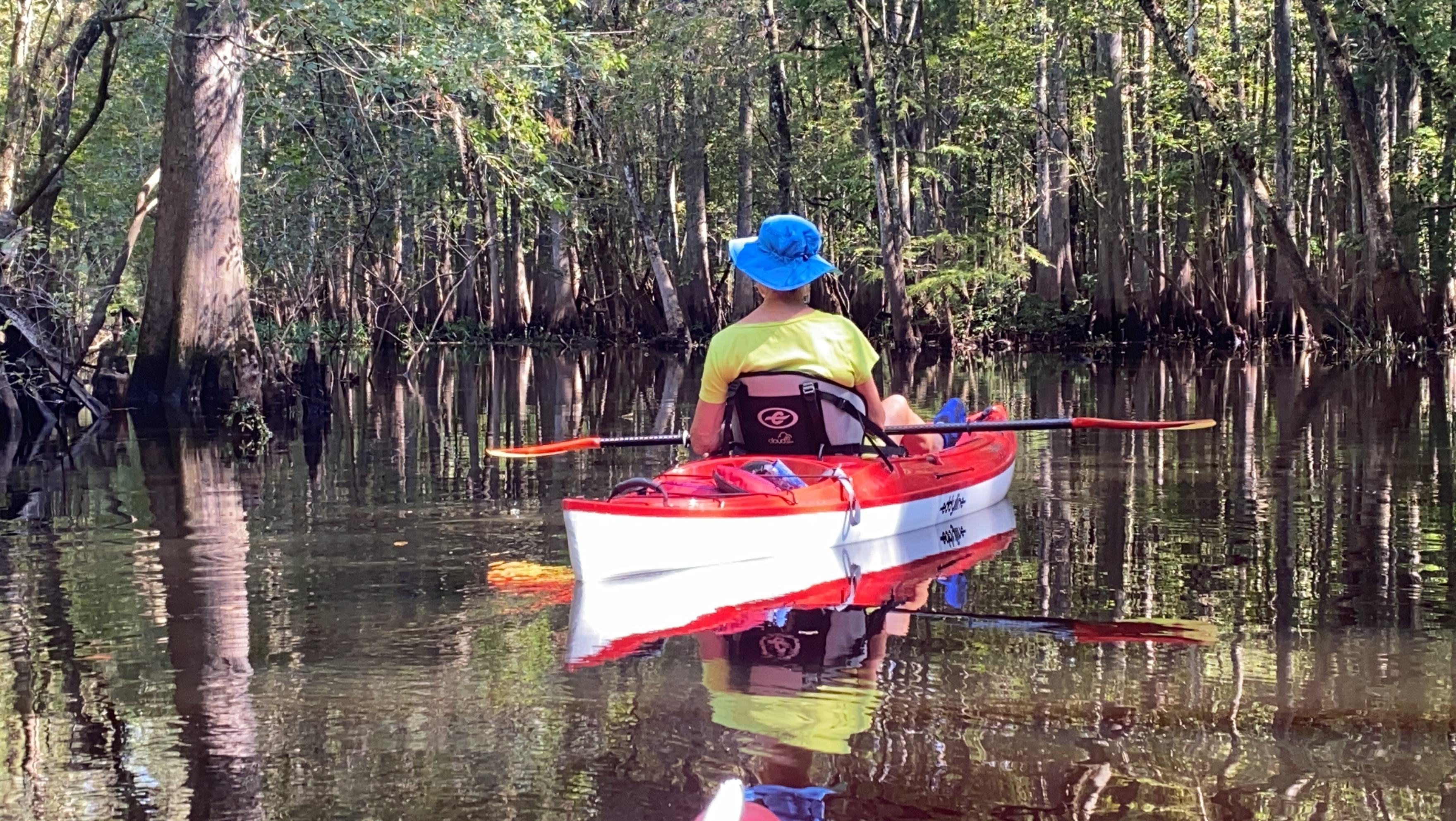
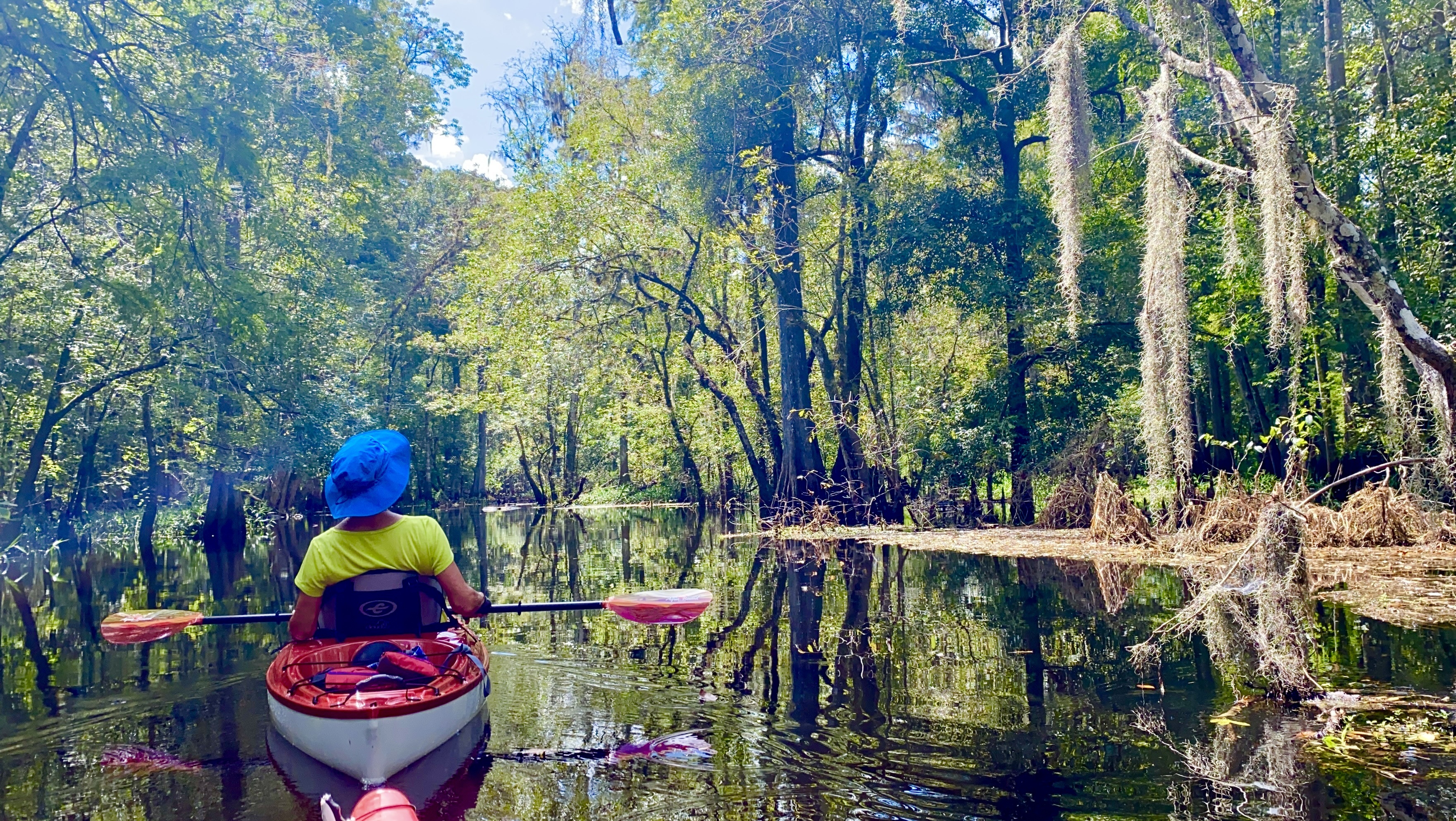
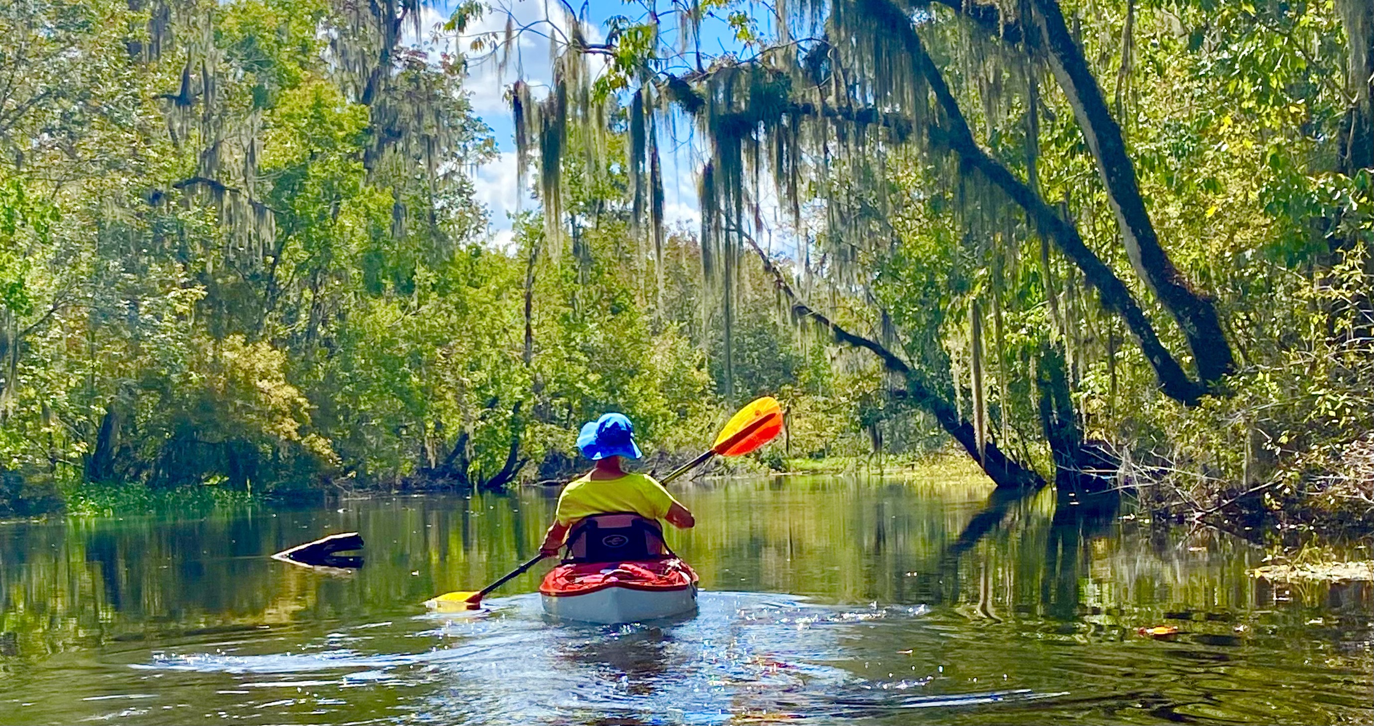
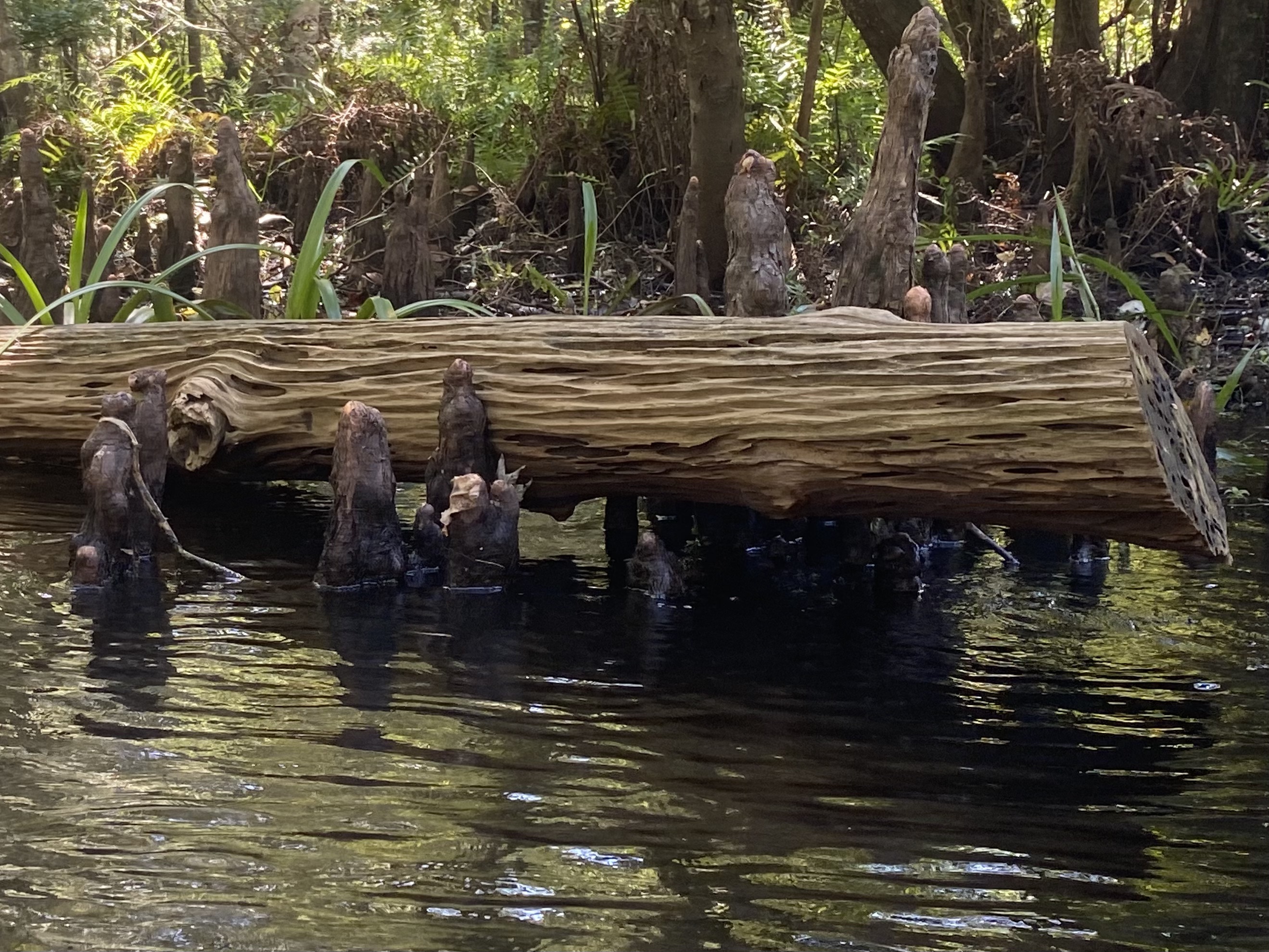
Cypress trunks, Spanish moss, fallen logs and knees lined the river. Moving slowly gave us time to look along the banks and watch birds shift from perch to perch.
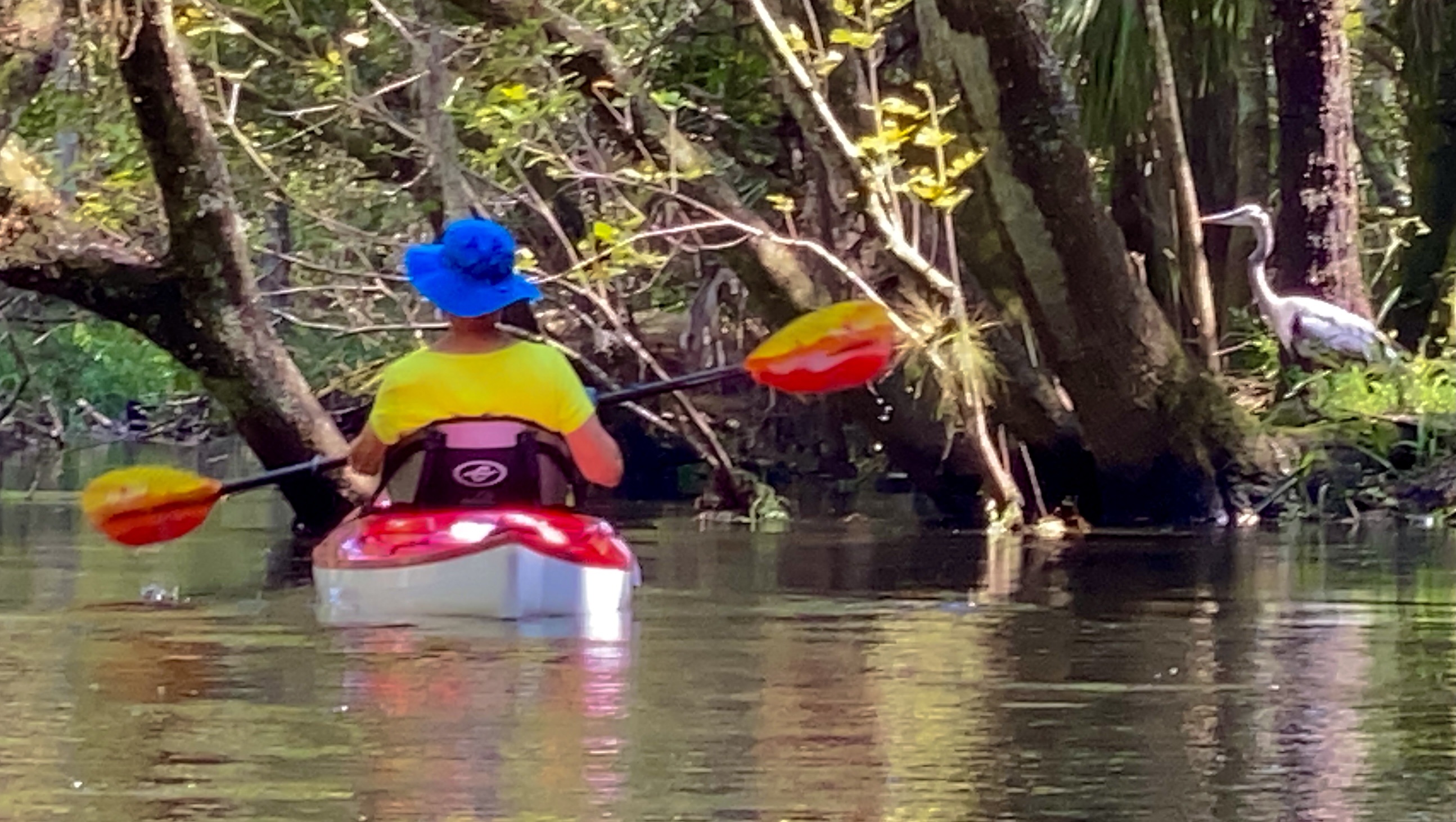
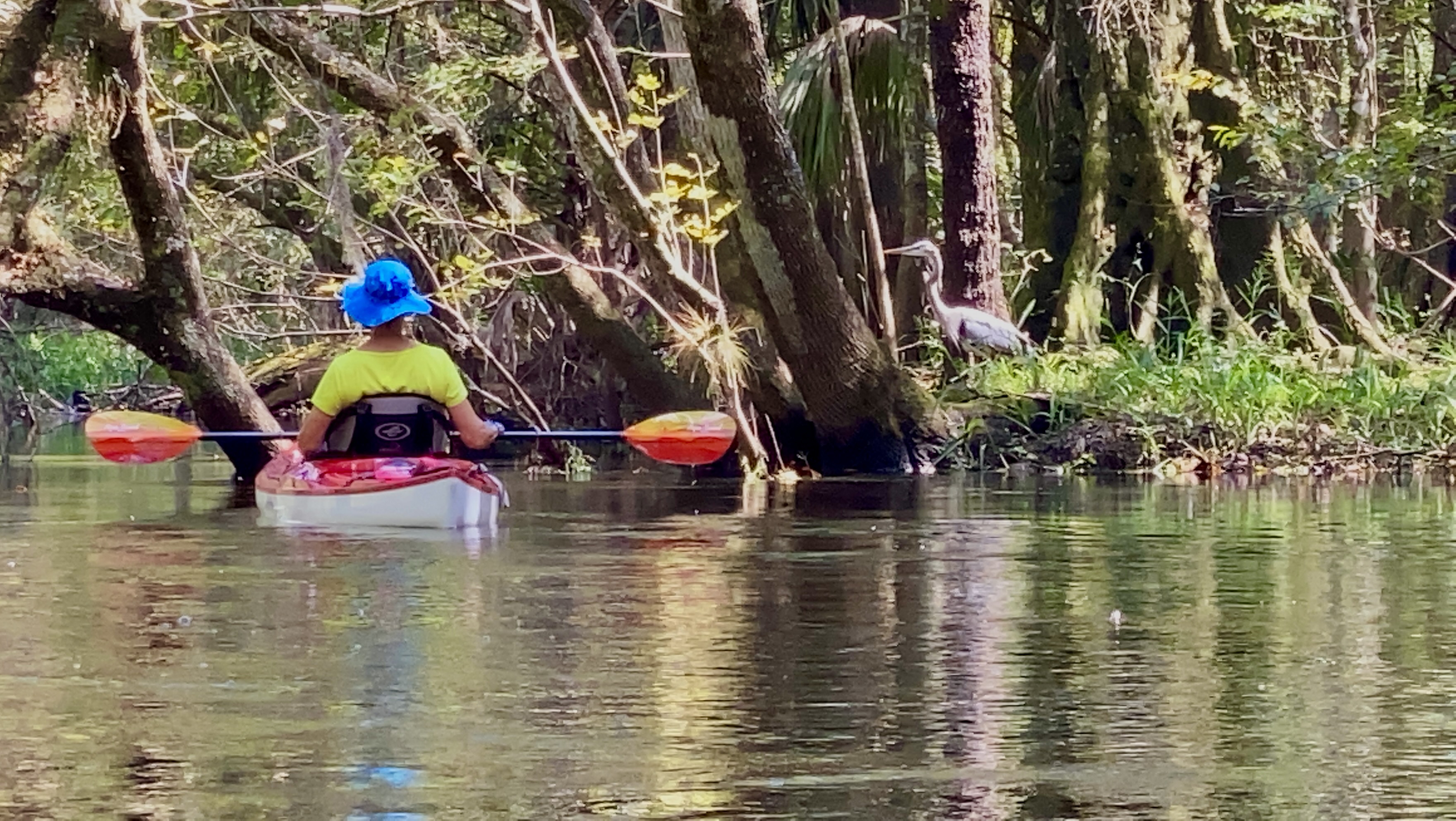
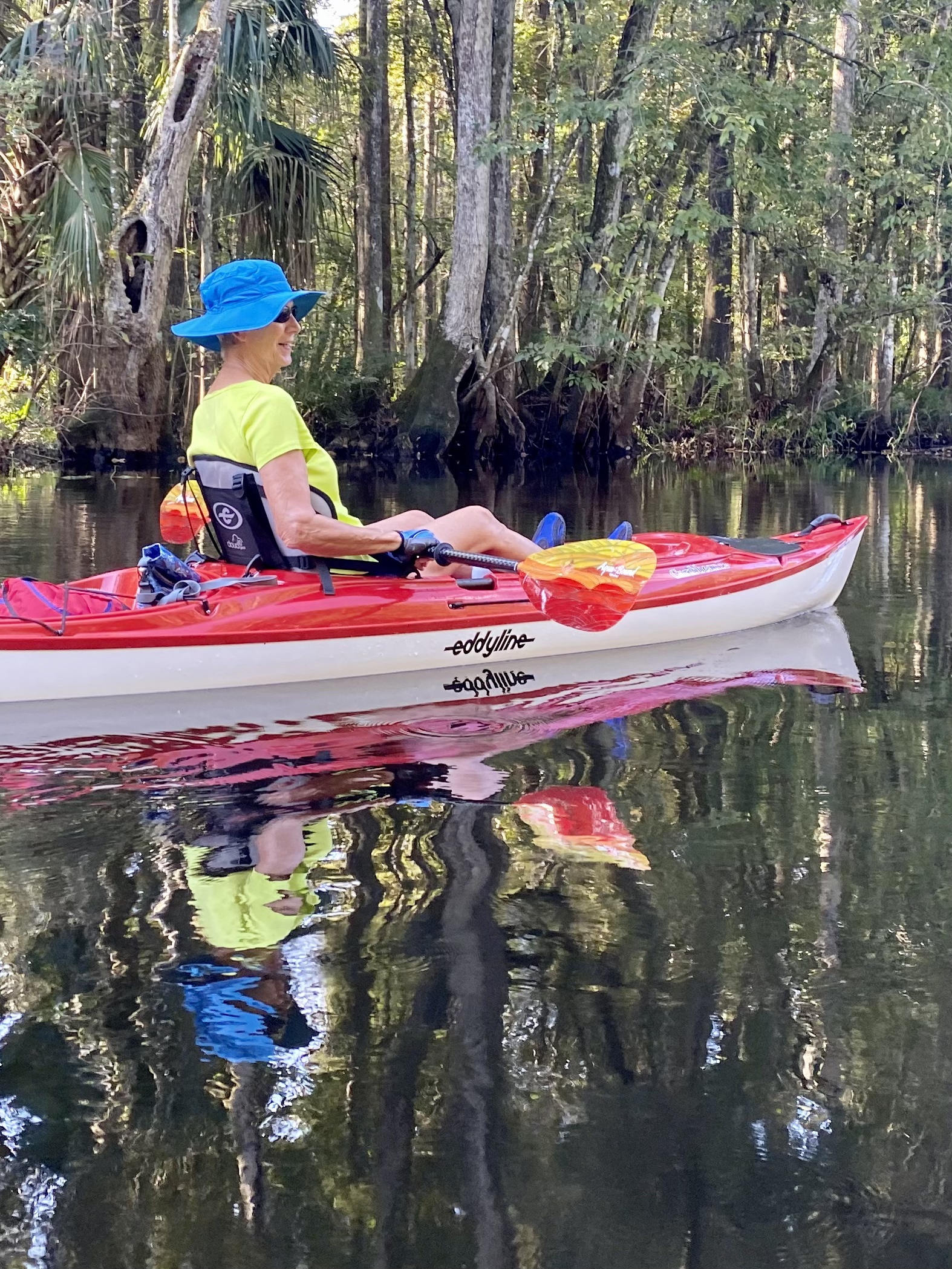
Claire’s red-and-white kayak and bright paddle stood out against the greens and browns of the forest.
People used this river long before our kayaks
Native Americans lived in this landscape long before today’s parks and roads. The water management district documents their use of flint along local rivers to make tools. The river corridor provided freshwater and access to wetland resources.
Dugout canoes were an important part of Indigenous life across Florida. Carved from a single tree, they carried people, goods and ideas along inland waterways. The Florida Museum documents a canoe tradition extending back thousands of years. That wider history gives a different perspective to a day spent moving quietly through these wooded waters.
References: Local cultural history · Florida Museum: dugout canoes
Our Route
Launch and start of the downstream paddle
Turnaround point, then back upstream
The Florida DEP paddling guide lists about four river miles between Sargeant Park and Morris Bridge Park, giving an approximately eight-mile out-and-back. This is a route estimate, not a measured GPS distance for our trip. On September 28, 2021, we returned upstream against a mild current.
Downriver Toward Morris Bridge
The river alternated between enclosed swamp and open sky as we approached Morris Bridge. We paused for photographs and watched the shoreline for wildlife.
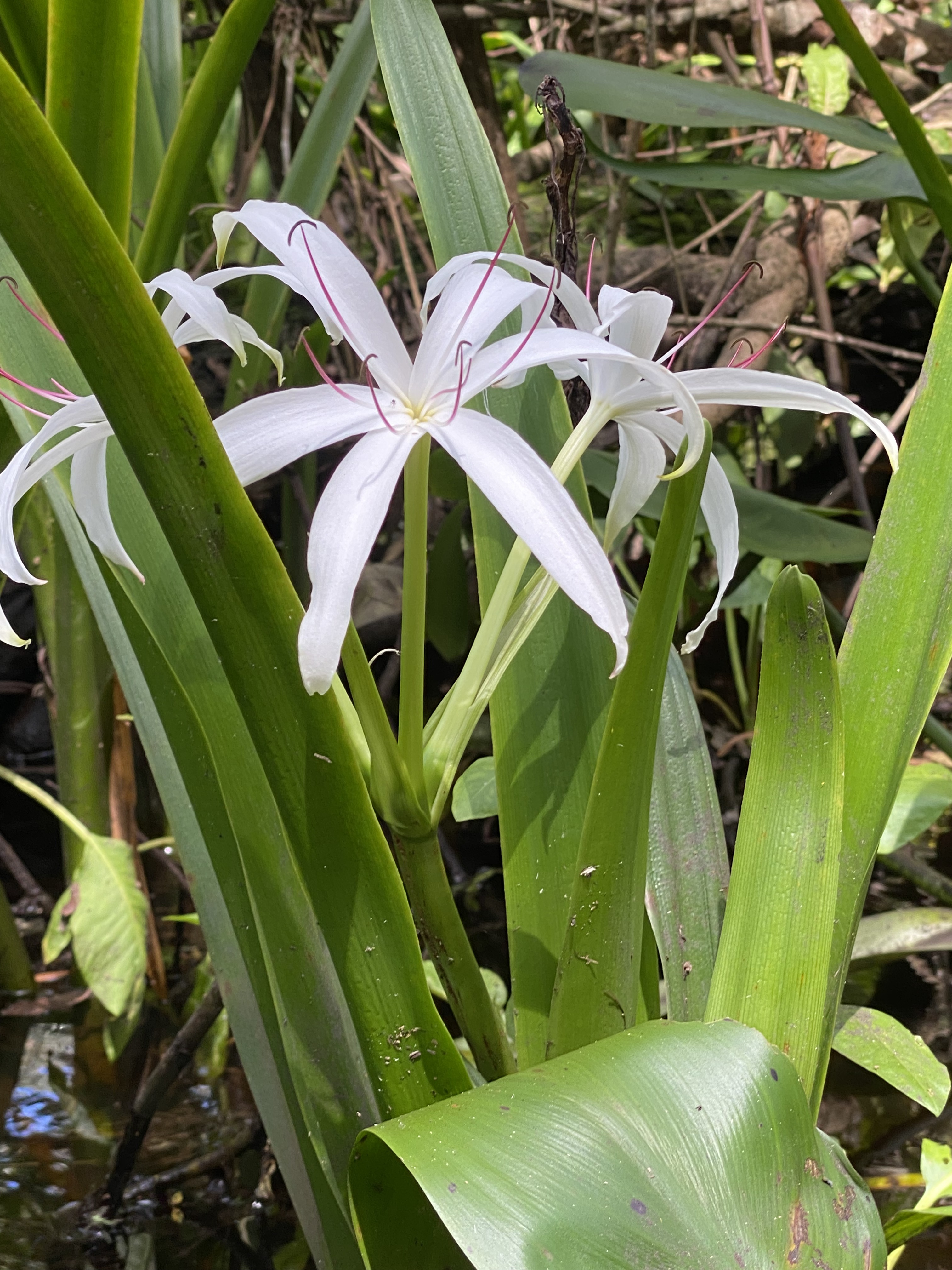
Wading birds, swamp lilies, wildflowers, turtles and alligators added plenty to see along the way.
Was this forest logged? Yes.
This forest has a working history. Pine, cypress and hardwood harvesting in the Lower Hillsborough area began in the 1840s. Raised tram roads carried timber through wet ground, and some survive as recreational trails.
Around a century ago, the river valley was still shaped by that timber legacy. Today’s cypress forest should not automatically be read as untouched old growth. The area’s history also includes the Old Fort King military supply route and, later, flood-control and water-supply projects.
References: Water management district: timber and land-use history
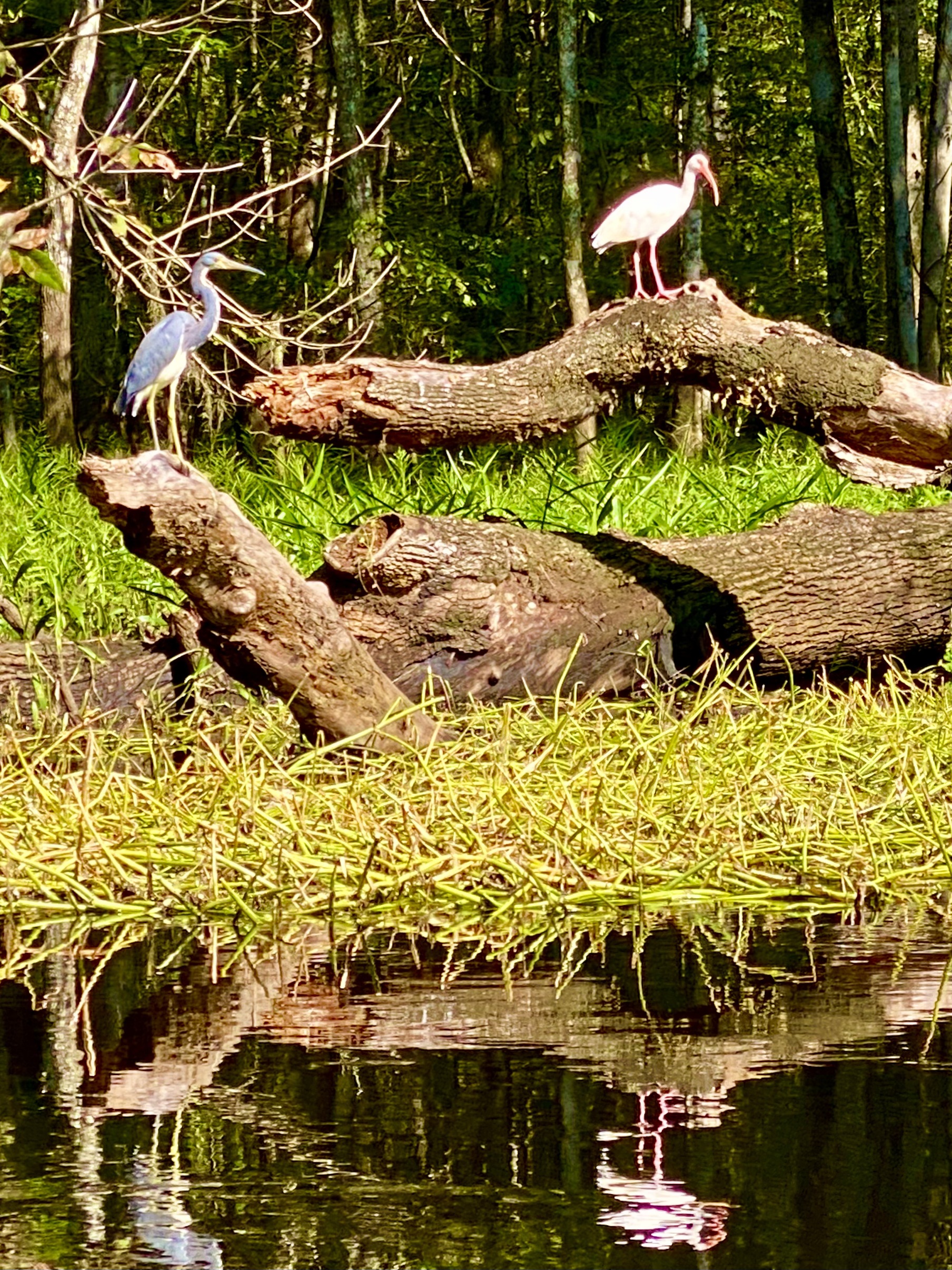
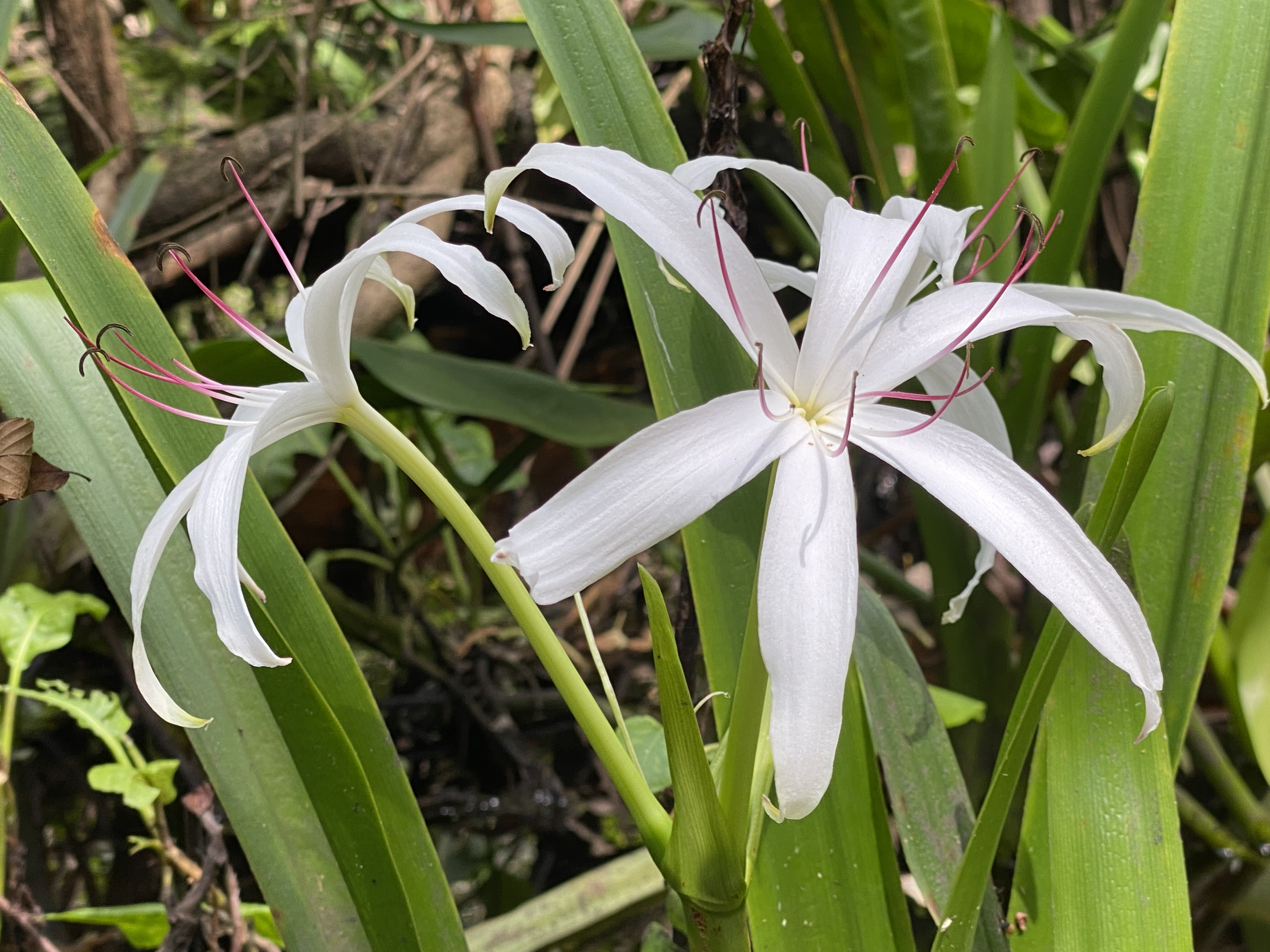
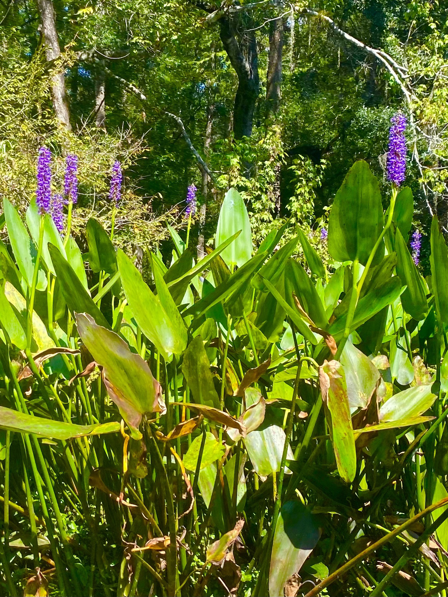
Wildlife Everywhere
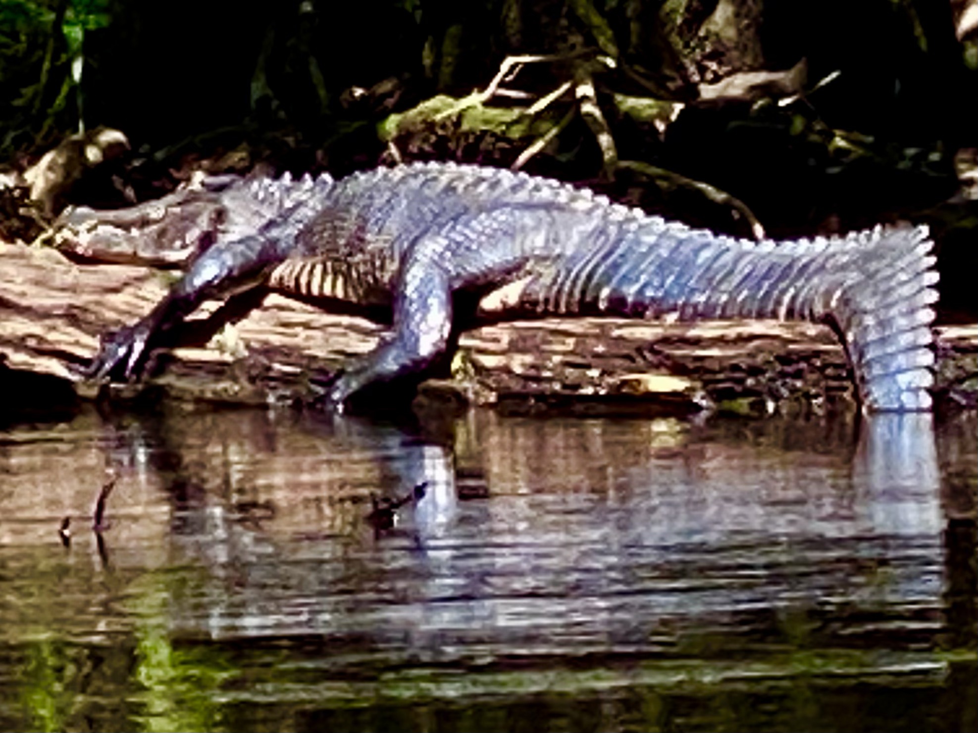
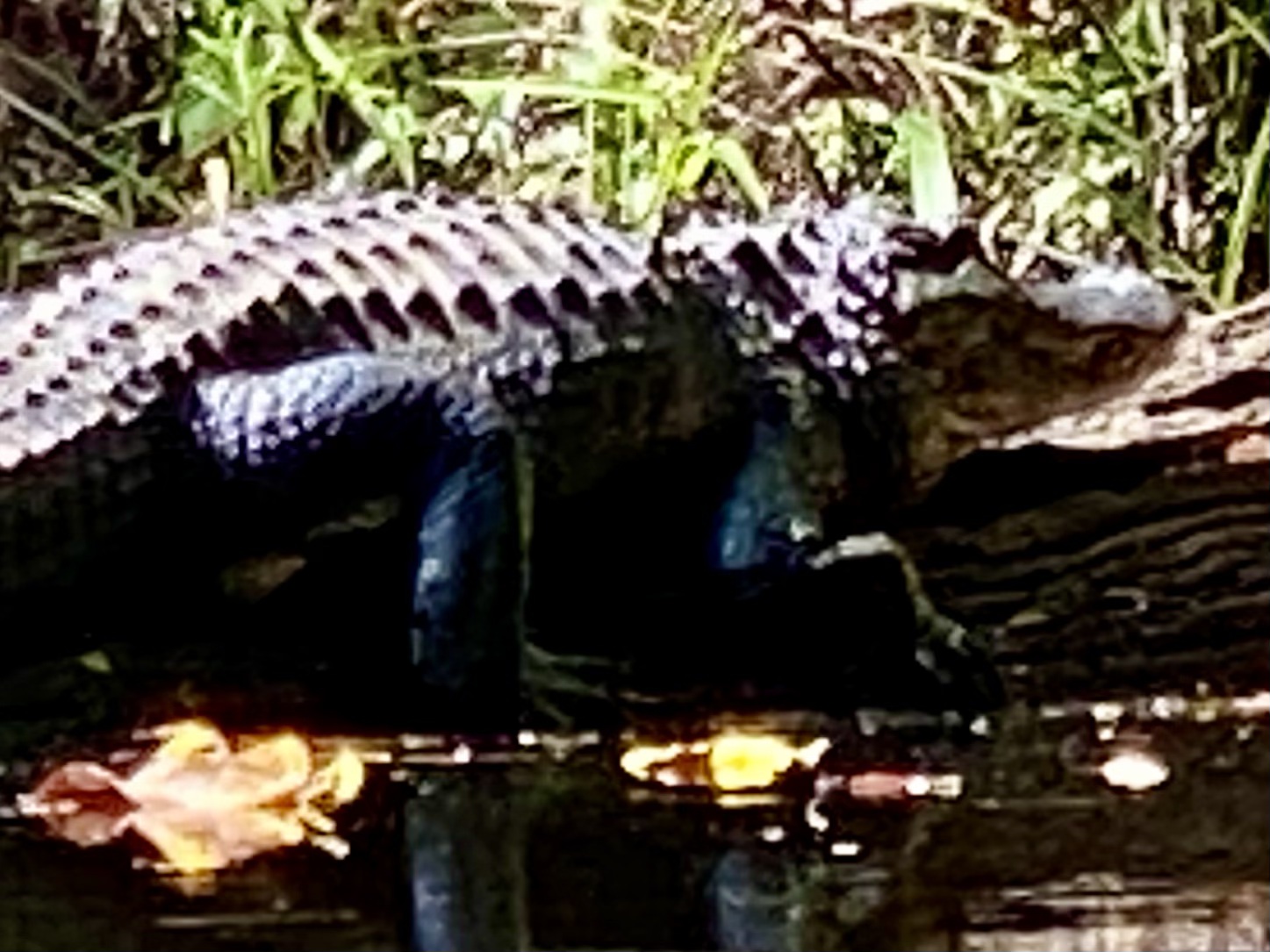
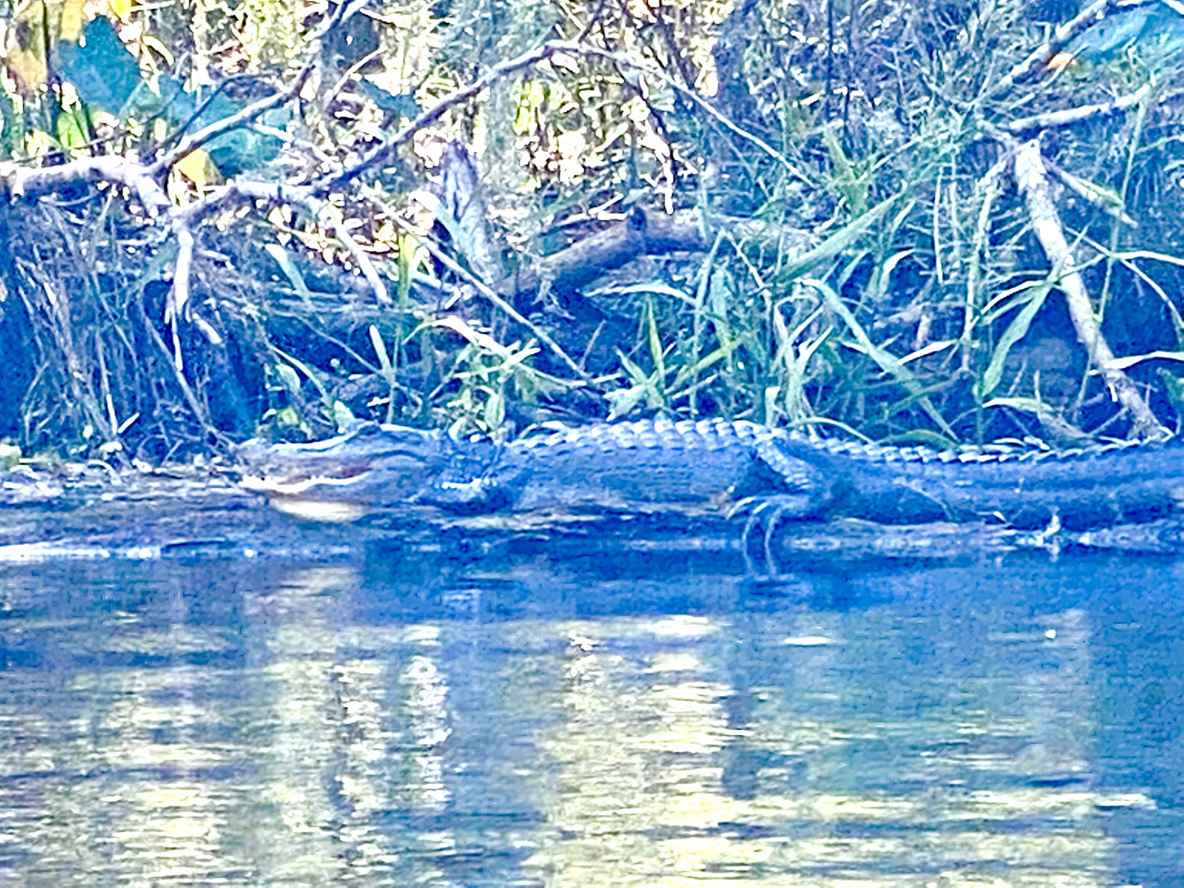
From the kayaks we could watch a heron along the bank and alligators resting on logs and the shoreline. We gave the animals room and passed quietly.
The wildlife photographs below capture some of the river’s residents during our September 2021 paddle.
Limestone below, dark water above
Beneath the watershed are sands and clays over limestone and dolomite, including the rocks of the Floridan aquifer system. Springs add groundwater to the river, but rainfall and wetland drainage are also important. This is a different setting from a clear spring run whose entire character is dominated by one large spring.
Farther upstream at Hillsborough River State Park, silicified limestone shoals help create the river’s unusual rapids. Between Sargeant and Morris Bridge, the experience is more about forested floodplain, banks, roots and slow-looking reflective water. The tea color is associated with organic material draining from the wetlands, rather than a simple measure of how deep the water is.
References: State park geology · Upper river hydrology · River ecology
A wild-looking river that also protects a city
The preserve also serves flood storage and water supply. After Hurricane Donna in 1960, major flood-control works were planned. Recognition of natural wetlands’ value helped replace an earlier structural-reservoir proposal with protection of natural flood storage.
References: Flood protection and conservation history
Turning Around and Heading Back
At Morris Bridge Park we turned around and paddled upstream to Sargeant. Seeing the banks from the opposite direction, with different light on the water, gave the return its own character.
The current on our trip was mild, but paddling upstream took more effort. Water levels, flow and obstacles can change, so these conditions should not be assumed for another day.
How the river shapes its floodplain
Geomorphology is the story of how water shapes the land. On a winding river, the current tends to wear away the outer side of bends and leave sediment in quieter places. Trees and fallen wood redirect flow locally. These general river processes help explain why a bend, a shallow margin or a passage around a log can look different after a high-water season.
The Hillsborough’s floodplain includes low backwaters and swamp pockets beside somewhat higher wooded ridges and terraces. When the river rises, water connects the channel to those wetlands. When it falls, some pockets become isolated. That exchange, together with the storage provided by the wetlands, helps explain the changing channels and water levels we encounter from our kayaks.
References: Floodplain and flow study
A Great Hillsborough River Day
A natural river, wildlife and a day on the water with Claire made this a memorable paddle. The out-and-back route also let us finish at our launch without arranging a shuttle.
Upstream: the very different world of Seventeen Runs
Above Sargeant lies Seventeen Runs, the branching swamp between Dead River Park and Sargeant Park. It is a much more demanding paddle than the stretch Claire and I explored. The DEP describes narrow channels, fallen trees, difficult route choices and boat-hauling obstacles. Low water can make both progress and navigation especially difficult.
Farther upstream, the North section connects Hillsborough River State Park with Dead River Park. Beyond the state park, the river continues toward Crystal Springs and the Green Swamp headwaters. These are different river settings, not extensions that should be assumed to offer the same relaxed paddling as our Sargeant-to-Morris Bridge trip.
References: DEP trail sections and access map
Beyond Morris Bridge: more river to explore
Morris Bridge can be a turnaround or an intermediate stop. When access is open, continuing downstream leads toward Trout Creek Park. The DEP describes parts of that reach as narrower, with possible swift current and log jams, so it deserves its own planning rather than being treated as more of the same easy water.
Below Trout Creek, the river passes the Lettuce Lake area and continues through Temple Terrace, with access points including Rotary Park and Riverhills Park. The landscape becomes increasingly developed as the river approaches the broad water above the dam near Rowlett Park. Wind and motorboat traffic become more relevant there.
The dam is a major break in the river journey. Reaching downtown Tampa and the tidal river below it requires separate planning and a verified legal way to get the boat around the barrier or relaunch below it. The lower river ultimately reaches Hillsborough Bay. The map at the bottom shows these sections together, with our 2021 paddle marked between Sargeant and Morris Bridge.
References: DEP downstream sections, access points and dam
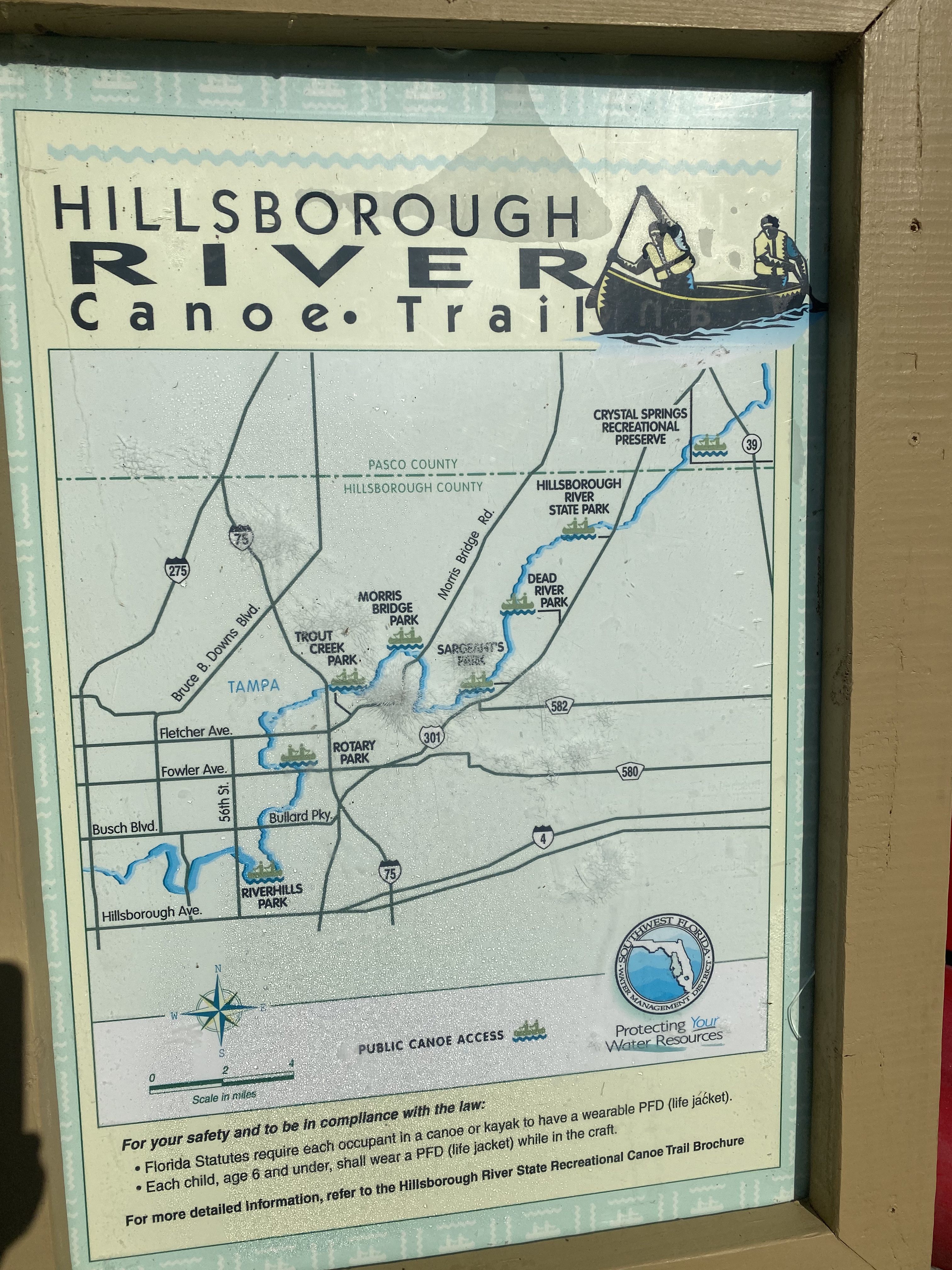
Route references and current access
The Florida DEP Hillsborough River Paddling Trail guide lists the Sargeant-to-Morris Bridge section at about four miles one way.
Access update checked October 11, 2026: Hillsborough County currently lists the Morris Bridge boat ramp and west side of the park as closed, along with public river access from John B. Sargeant to Trout Creek, while damage is cleared. This page describes our 2021 trip. Check the county’s Morris Bridge Park page for the latest reopening information before planning a visit.
The river sections at a glance
This overview places the upper river, Seventeen Runs, our Sargeant-to-Morris Bridge paddle, the downstream park sections and the tidal river in one view. The dam near Rowlett separates the reservoir reach from the lower river. Park markers are reference locations, not precise launch directions.

Use the linked DEP trail guide for detailed access maps. Closures and water conditions take precedence over this overview.