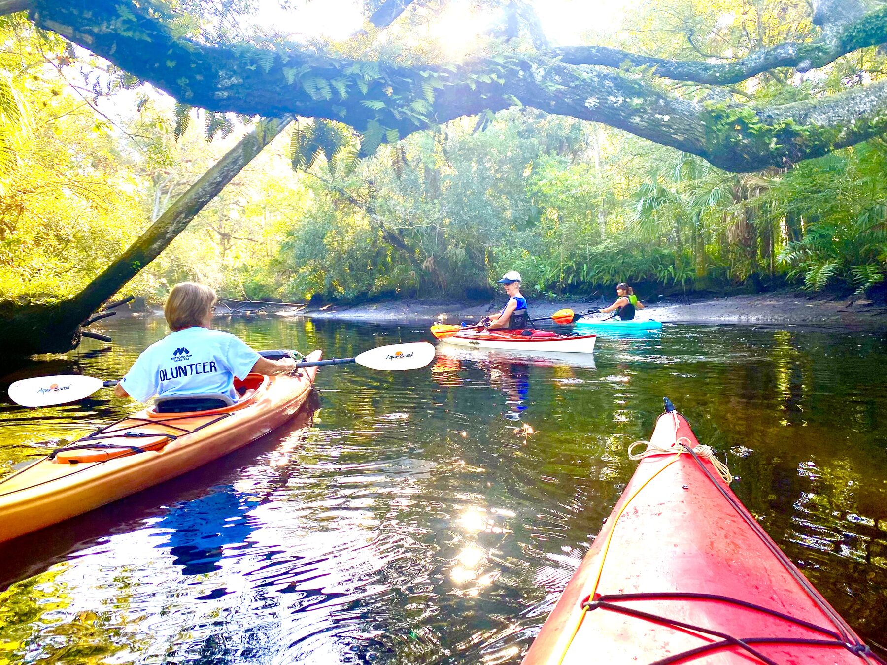
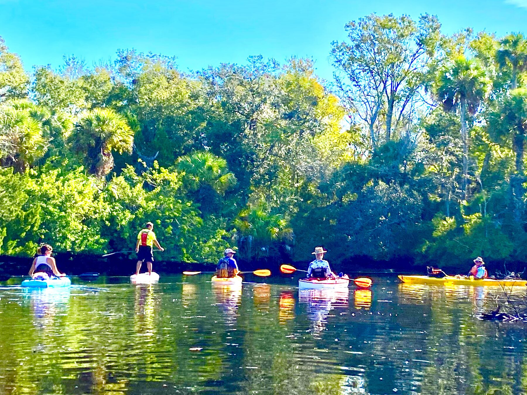
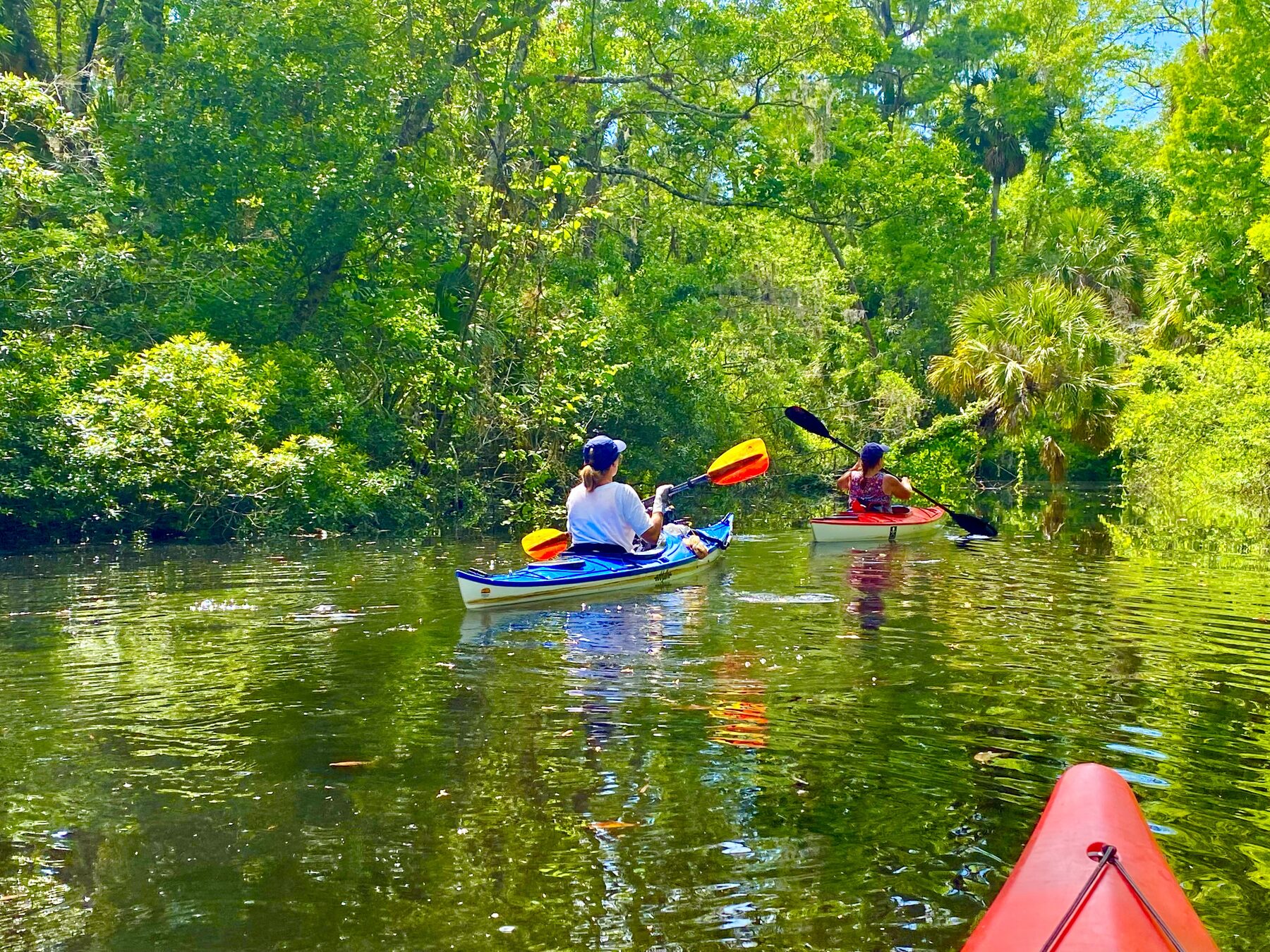
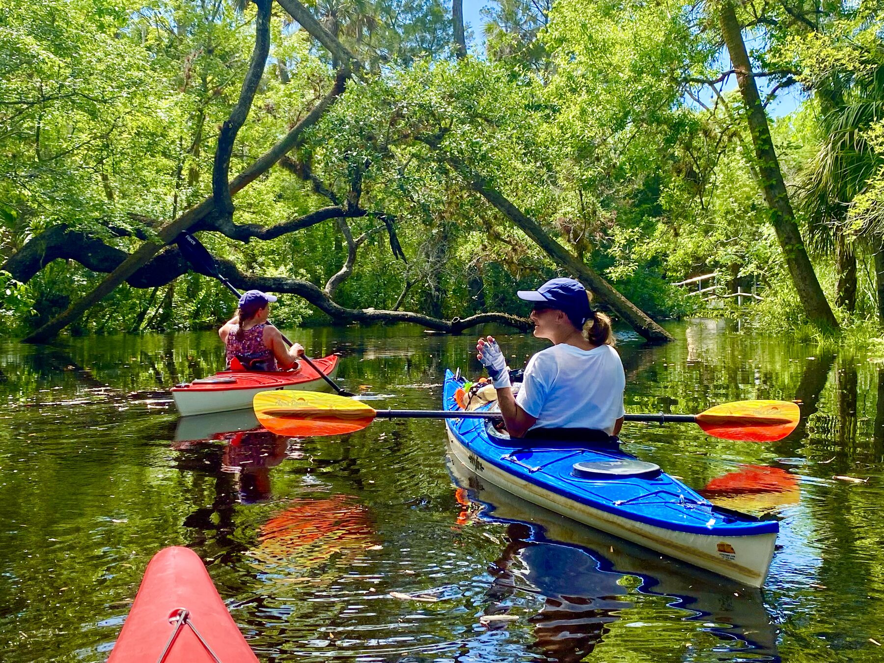
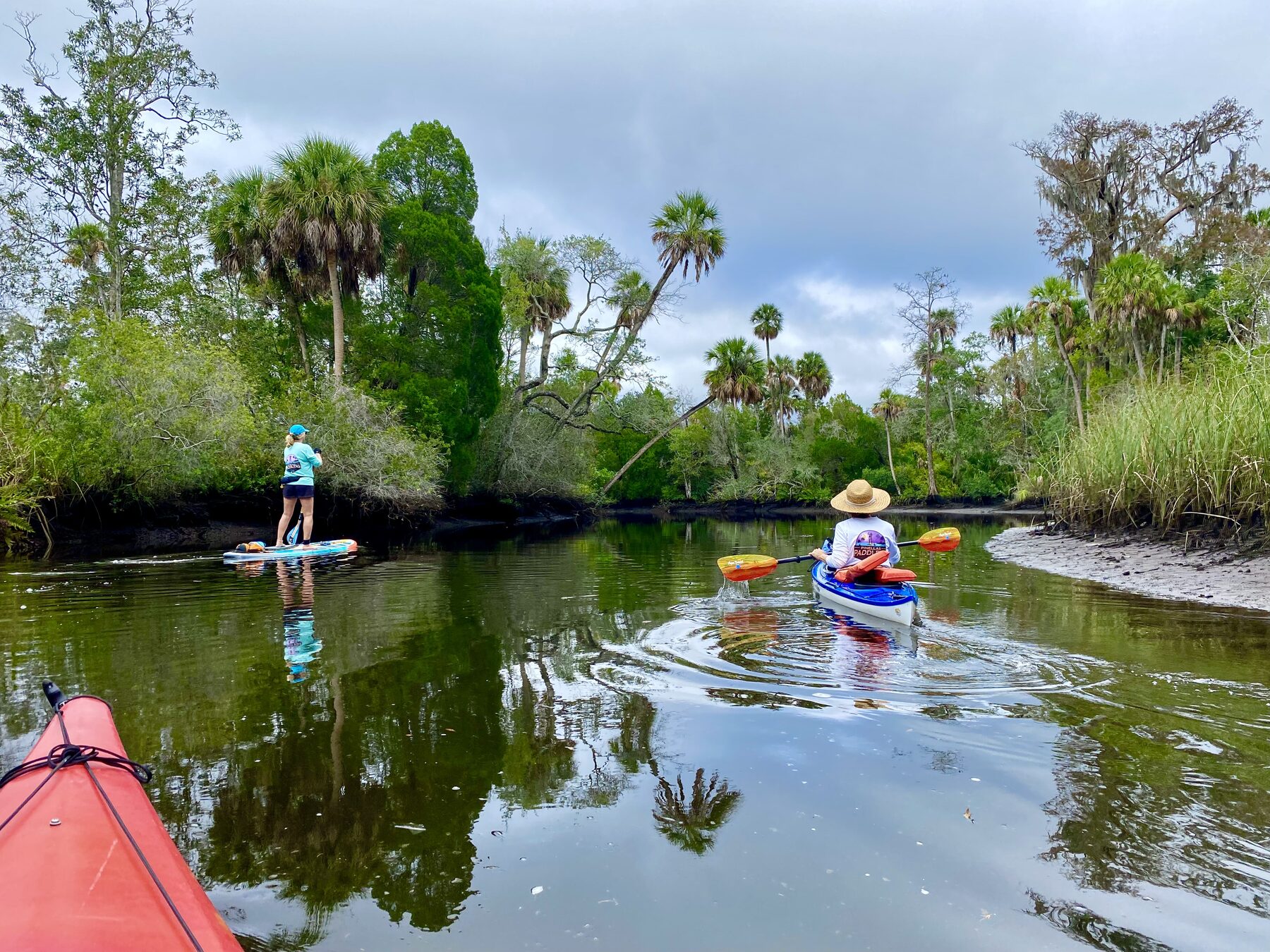
From shaded headwater exploration to a longer trip through downtown and toward the lower river, the Pithlachascotee offers many different paddling days.
Paddling New Port Richey's hometown river
The Pithlachascotee River—usually called the Cotee River—is another incredibly beautiful place to paddle in the Tampa Bay area. It is only about 45 minutes from my home in Largo, making it a convenient escape into a surprisingly wild and peaceful part of New Port Richey.
The character changes as the river travels west. Around James E. Grey Preserve, the shoreline feels greener and more secluded. Frances Avenue Park provides a convenient access point farther downstream, while Sims Park places paddlers beside downtown New Port Richey. Choosing among the three launches makes it easy to plan a short exploration, an out-and-back trip or a longer shuttle paddle.
The Cotee is an unusually versatile local river because it does not force everyone into the same trip. A paddler can spend a relaxed hour exploring around one launch, wander for several hours through the preserve and its side passages, arrange a short shuttle between two parks, or follow the entire state-designated paddling trail toward the lower river. The scenery changes gradually from a narrow blackwater stream beneath arching oaks to a residential river, then to downtown and finally the wider, busier water closer to the Gulf.
My preferred launchJames E. Grey Preserve
Another good launchFrances Avenue Park
River characterTidal, winding and shaded
Important ruleNo pets in Grey Preserve
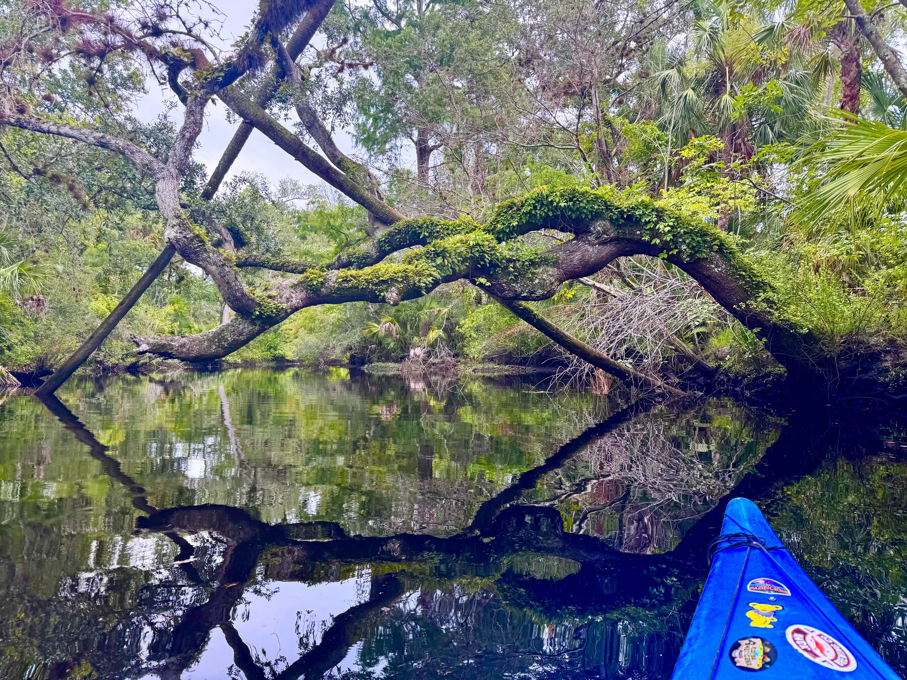
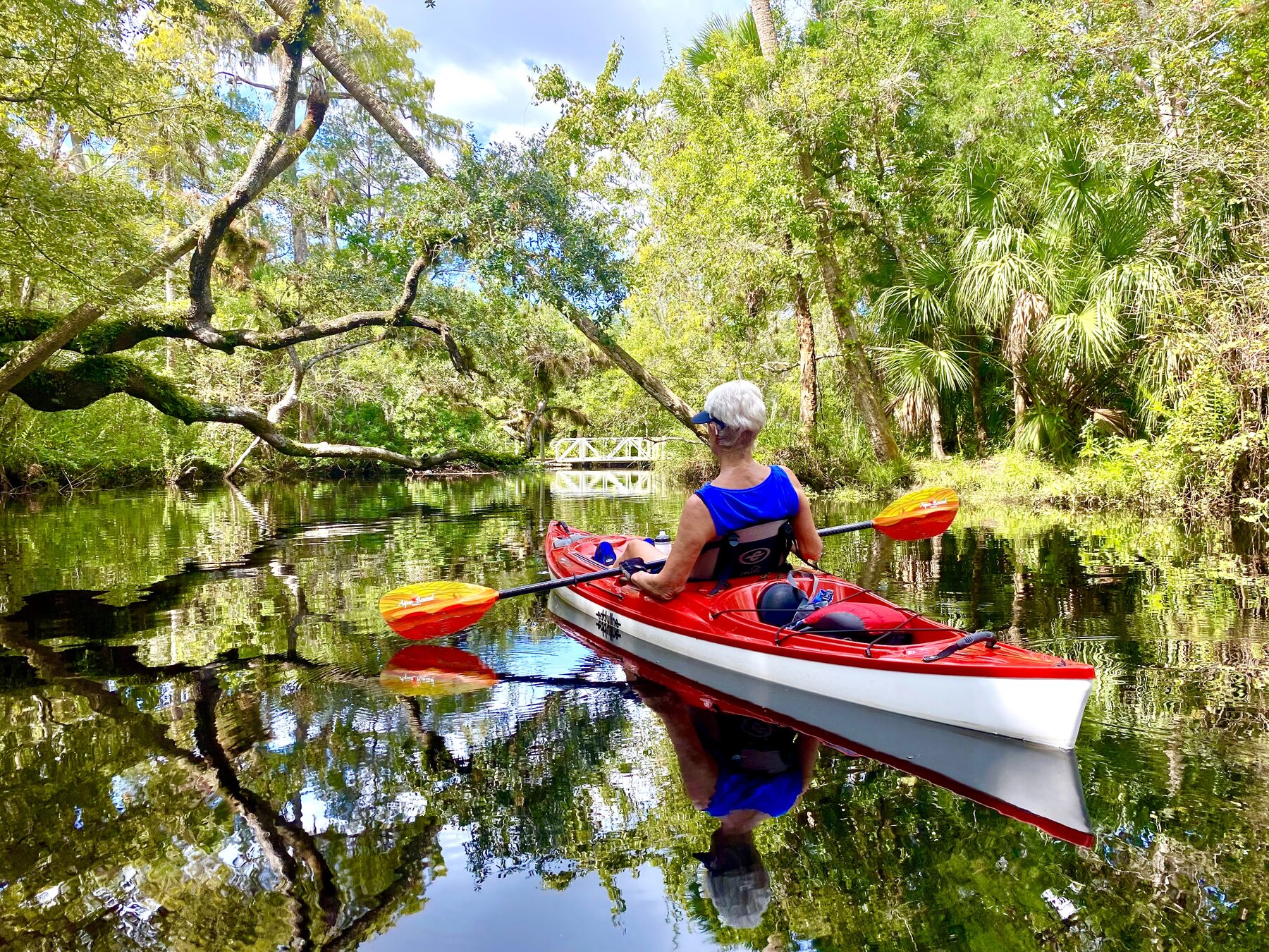
A massive mossy oak limb reaches across the dark water—exactly the kind of wild scenery that makes the upper Cotee feel far removed from the surrounding city.
Three Cotee River launch locations
1
James E. Grey Preserve
My preferred launch has an excellent accessible kayak launch, picnic tables and a convenient gathering area. It is an easy place to launch kayaks and canoes into the natural upper river. Pets are not allowed in the preserve. Free.
A convenient neighborhood park at 5580 Frances Avenue with direct small-craft access. It works well for a shorter outing and as an intermediate launch or takeout between the preserve and downtown. Free.
The downtown choice, convenient to Sims Park, Main Street and nearby restaurants. Expect a more developed riverfront and be prepared to share this section of the river with motorboats. Free.
A downstream access point near US 19 and the lower river. Use it as a shuttle takeout when paddling the complete route from Grey Preserve through downtown.
Choosing the Cotee River paddle that fits your day
The Pithlachascotee River has several public access points. The four principal choices are James E. Grey Preserve, Frances Avenue Park, Sims Park and, farther downriver, Nick's Park. That creates many combinations rather than one required route.
Access
Best use
River character
James E. Grey Preserve
Upper-river out-and-back; begin a downstream shuttle. Nice shaded picnic tables; great place for lunch.
Wildest, narrowest and most shaded, and my favorite.
Frances Avenue Park
Excellent midpoint launch. Shorter out-and-back; intermediate shuttle point. Upstream from here is very quiet.
Transition from preserve to residential river
Sims Park
Downtown exploration; takeout for a shorter shuttle
Urban waterfront with more boat activity
Nick's Park
Takeout for the complete river route
Broad lower river near US 19 and Miller's Bayou
1. Short preserve exploration
Launch at James E. Grey Preserve, paddle upstream until depth or a blockage turns you around, then explore downriver around the preserve before returning. This launch has the most natural scenery and is very serene; perfect for an out and back.
2. Frances Avenue out-and-back
Begin at Frances Avenue Park and choose your direction. Heading upstream leads toward the preserve and its tighter bends; heading downstream reaches residential water and eventually downtown. Turn around whenever time, tide or energy says it is time.
3. Grey Preserve to Frances Avenue
This is the shortest simple shuttle between the main access points. It gives newer paddlers a taste of the wild upper section without committing to the entire river route. The return against current or tide makes it a longer out-and-back if no shuttle is available.
4. Grey Preserve to Sims Park
This trip shows the biggest change in scenery: jungle-like canopy, residential riverbanks and a downtown finish. It is an excellent half-day shuttle option, with more boat awareness required as Sims Park approaches.
5. Sims Park in either direction
A downtown launch can become a leisurely urban paddle, an upstream trip toward quieter water, or a downstream exploration of the widening river. Going upstream first often makes the quieter scenery the destination and leaves downtown near the finish.
6. The complete river route
Arrange a shuttle from James E. Grey Preserve to Nick's Park. This is the best choice for seeing the river's complete progression from preserved upper reach to the developed lower Cotee near Miller's Bayou.
7. Headwater attempt
From Grey Preserve, turn upstream and see how far the river allows. The practical endpoint changes with tides, water level and fallen trees. On favorable water it may be possible to approach Rowan Road Bridge; on another day a shallow bar or tree may end the attempt much sooner.
8. Side-channel wandering
Skip the goal of covering miles and explore bends, chutes, ponds, canals and islands near the preserve. This is often the most interesting choice for photography, wildlife watching and repeating the river without repeating exactly the same route.
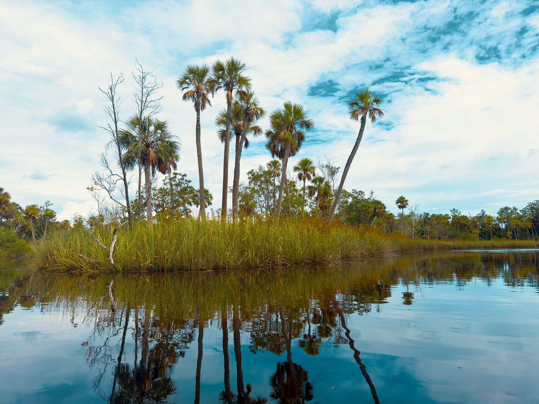
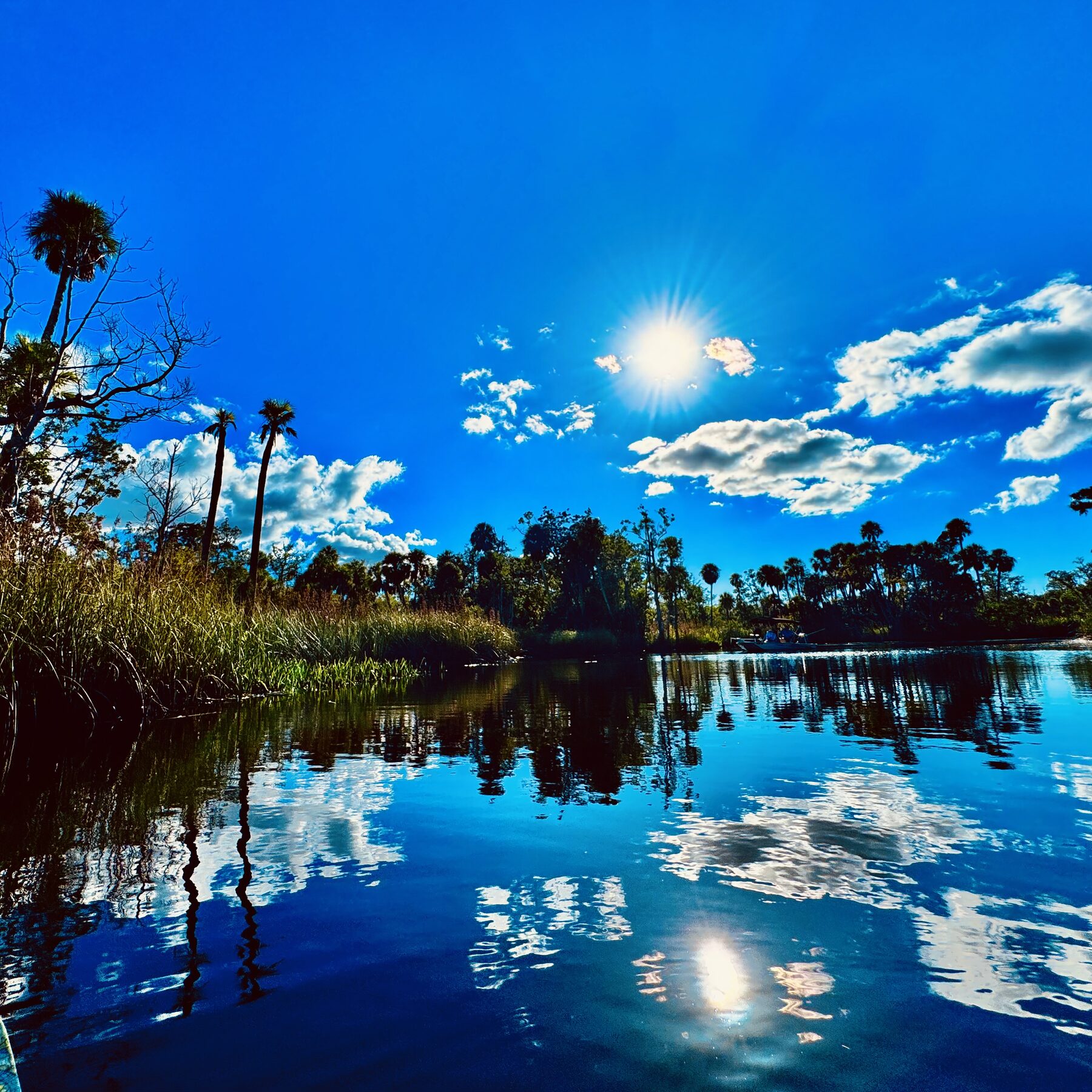
Open, calm water offers a completely different experience from the narrow shaded channels.At the right time of day, the ponds and broader reaches can become almost perfectly reflective.
Following the river toward its headwaters
The river is tidal and can rise and fall a couple of feet, even this far upstream. I especially enjoy visiting on one of the highest high tides and paddling upriver beneath the Rowan Road bridge, past the condominiums and as far into the headwaters as conditions allow.
The farther upstream I travel, the narrower and wilder the river becomes. Eventually a fallen tree, shallow water or another blockage usually stops me. That journey is much harder—or sometimes impossible—at lower tide, but at high water it is one of the highlights of paddling the Cotee.
This is not a river that reveals everything in a single trip. There are enough bends, canals, chutes and side channels to paddle for many hours, choose a different route each time and still leave places unexplored.
An upstream attempt is also the part of the Cotee most affected by water level. High tide can float a kayak over shallow places and open passages that are effectively closed at lower water. A very high tide may allow a longer exploration, but it can also reduce clearance beneath low branches. The dark water hides submerged logs, so the narrowest reaches reward a slow pace and careful reading of the surface.
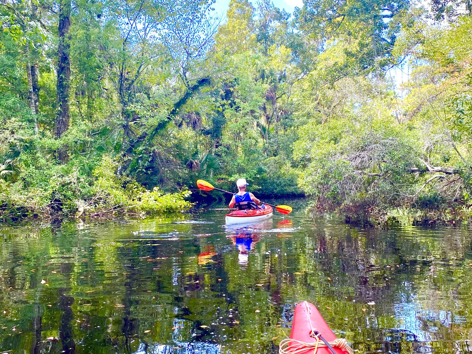
The upper river narrows into a green tunnel where careful boat control matters more than speed.A quiet pause beneath the arching trees, with the kayak doubled in the dark water.
Tides, current and choosing the right day
The Cotee is tidal, including the upper section around the preserve. That does not mean every bend has a powerful current, but it does mean the same route can feel different from one visit to the next. Water that seems comfortably deep on one trip may be shallow enough to expose branches, muddy edges or sand on another. A high tide generally gives more water for pushing toward the headwaters and entering shallow side passages.
For an out-and-back paddle, it helps to notice the direction of whatever current is present before committing to a long first leg. A following current that feels effortless going out becomes the work of the return, but current is always gentle here. Wind matters most after the river widens downstream, while the forested upper bends offer more protection. Recent heavy rain can add freshwater flow, alter clarity and move branches or debris into new positions.
The calmest experience is usually found on a weekday morning, when the air is cooler, wildlife is active and powerboat traffic is lighter or nonexistent, which is usually the case. Summer provides lush vegetation and flowers but also stronger heat and rapidly developing thunderstorms. Cooler-season paddles can be exceptionally comfortable, with different foliage, lower humidity and long views through portions of the canopy.
A tide prediction is useful, but it is still only part of the decision. Rainfall, wind, drainage from upstream and the time lag between a coastal tide station and the upper river can all affect actual conditions. Treat every visit as a fresh reading of the river rather than expecting it to match the last trip.
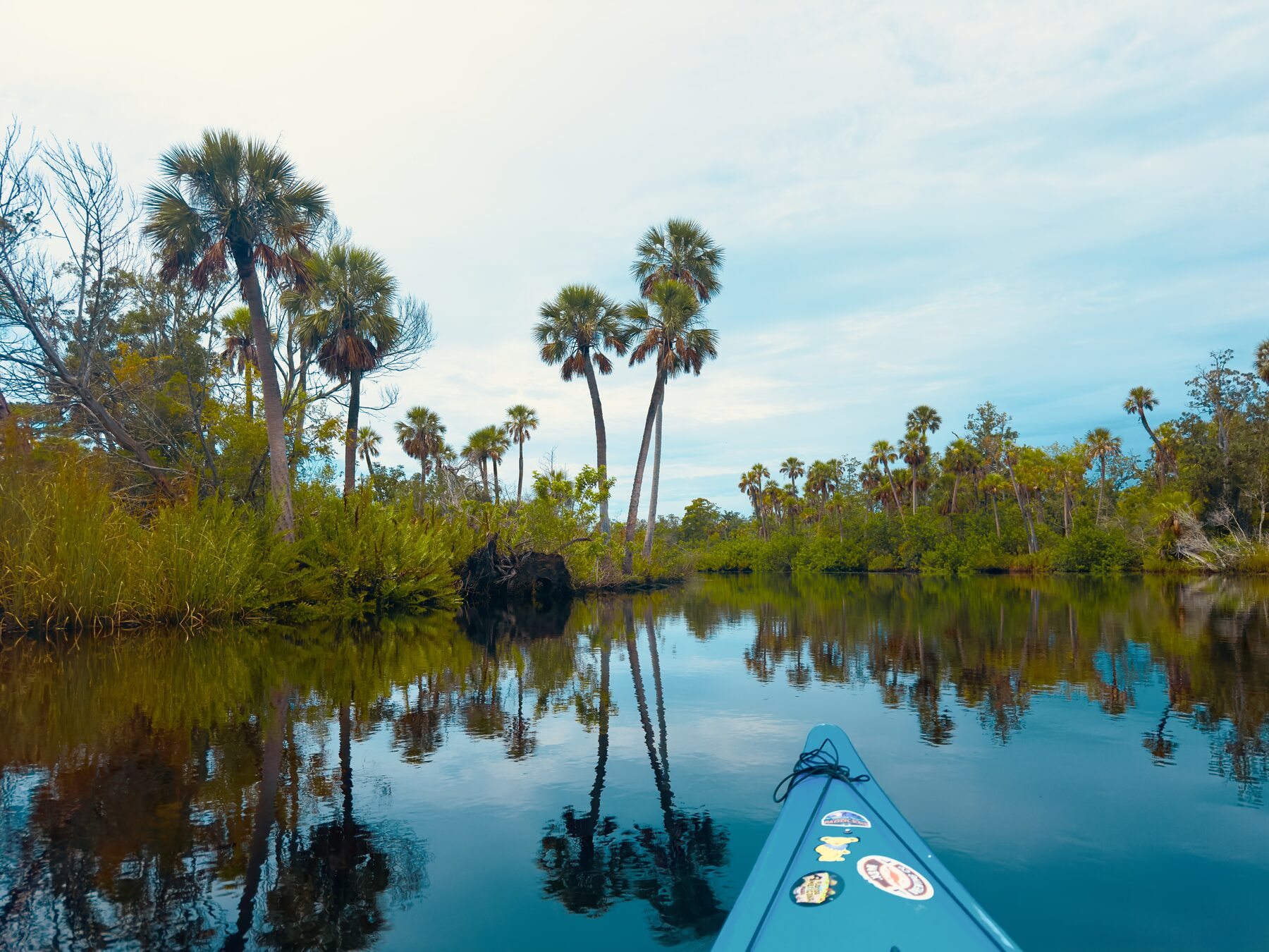
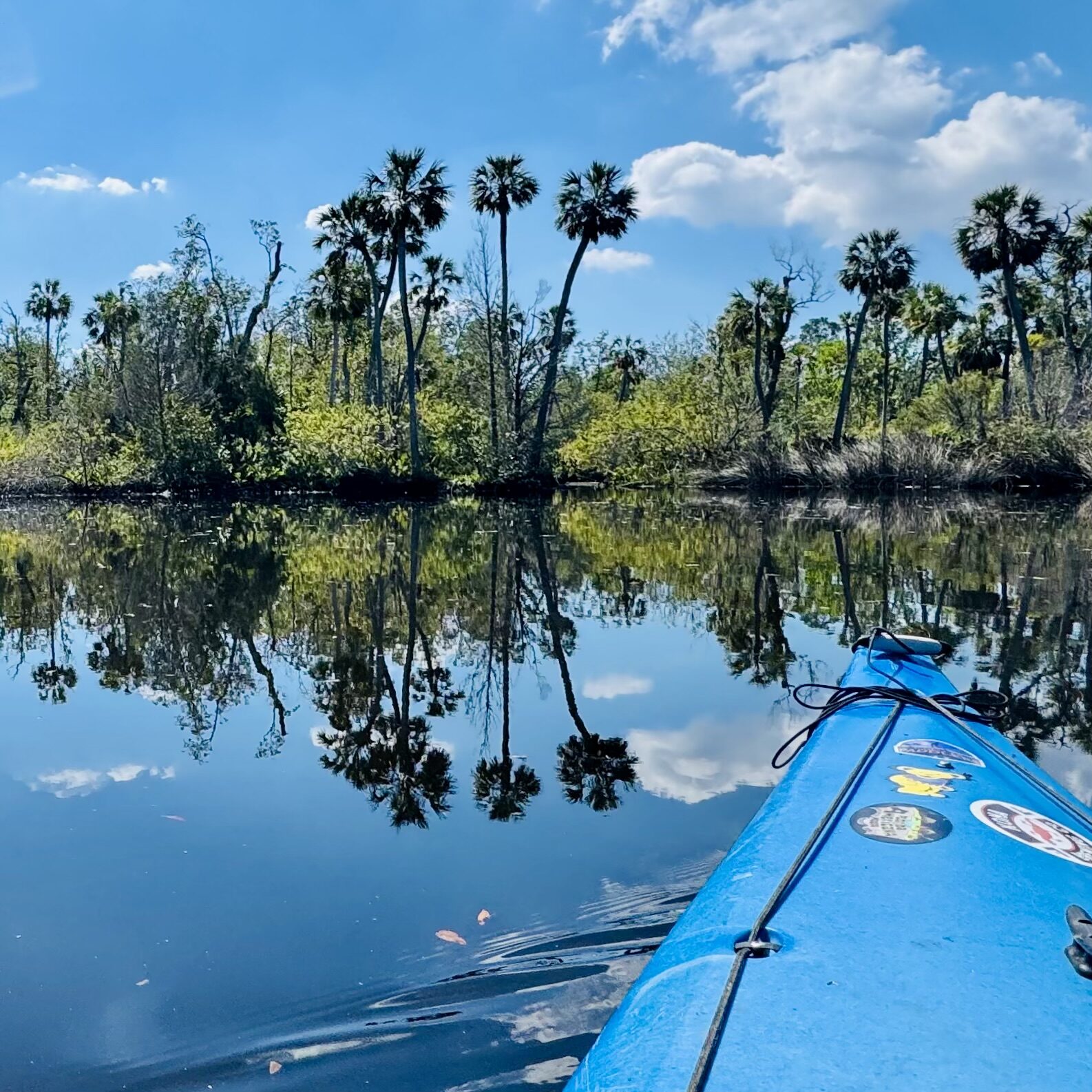
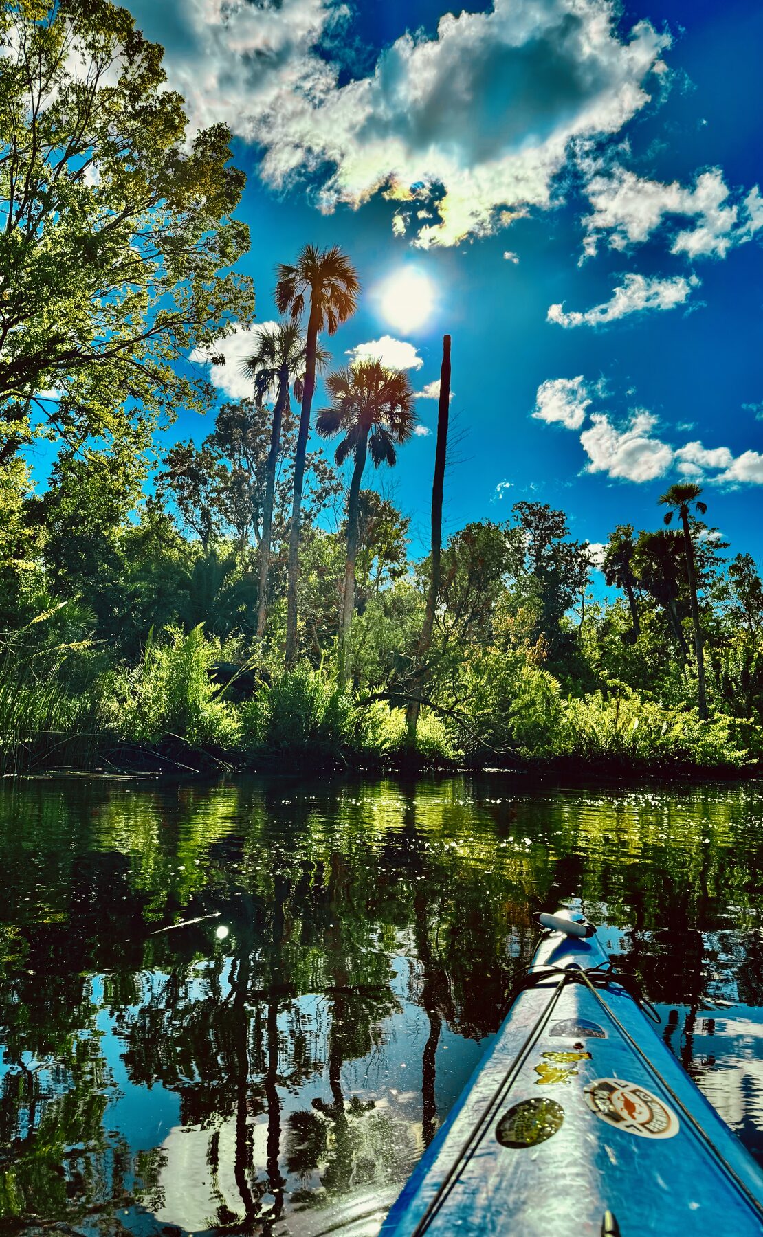
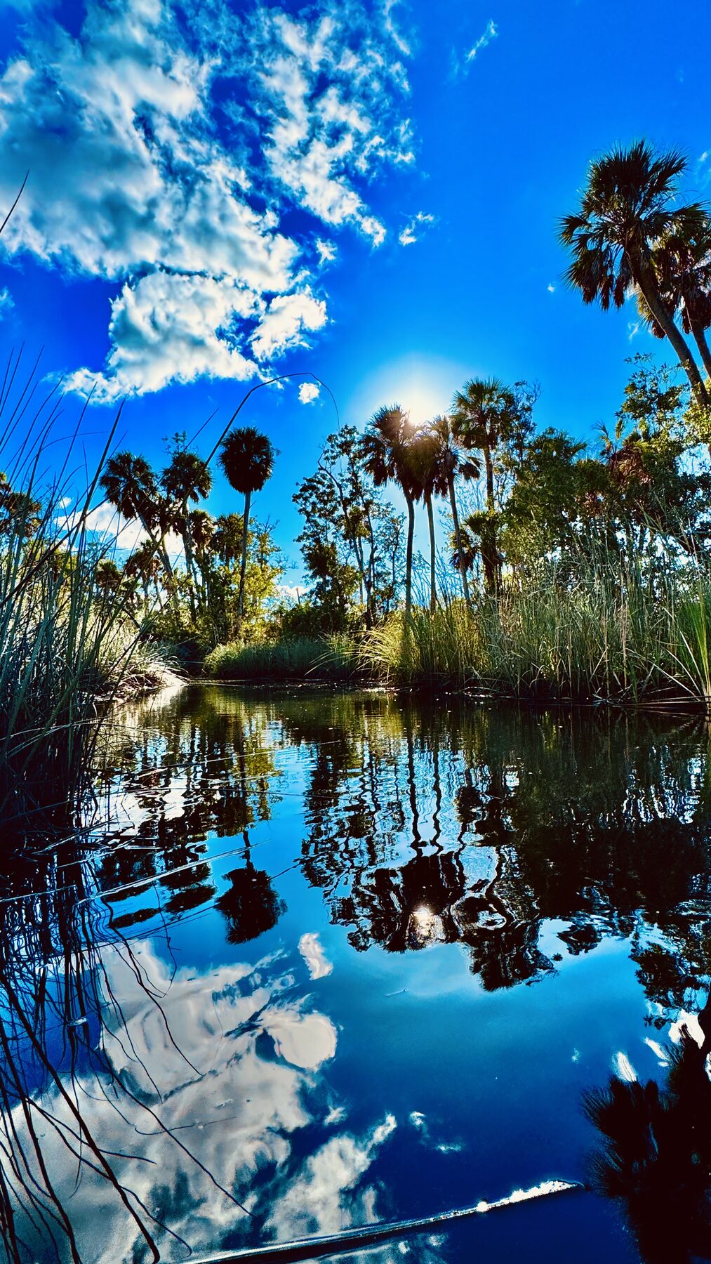
On a calm day, the open reaches can hold the sky like a mirror; wind and tide can completely change that character.
Chutes, ponds, islands and old Florida canals
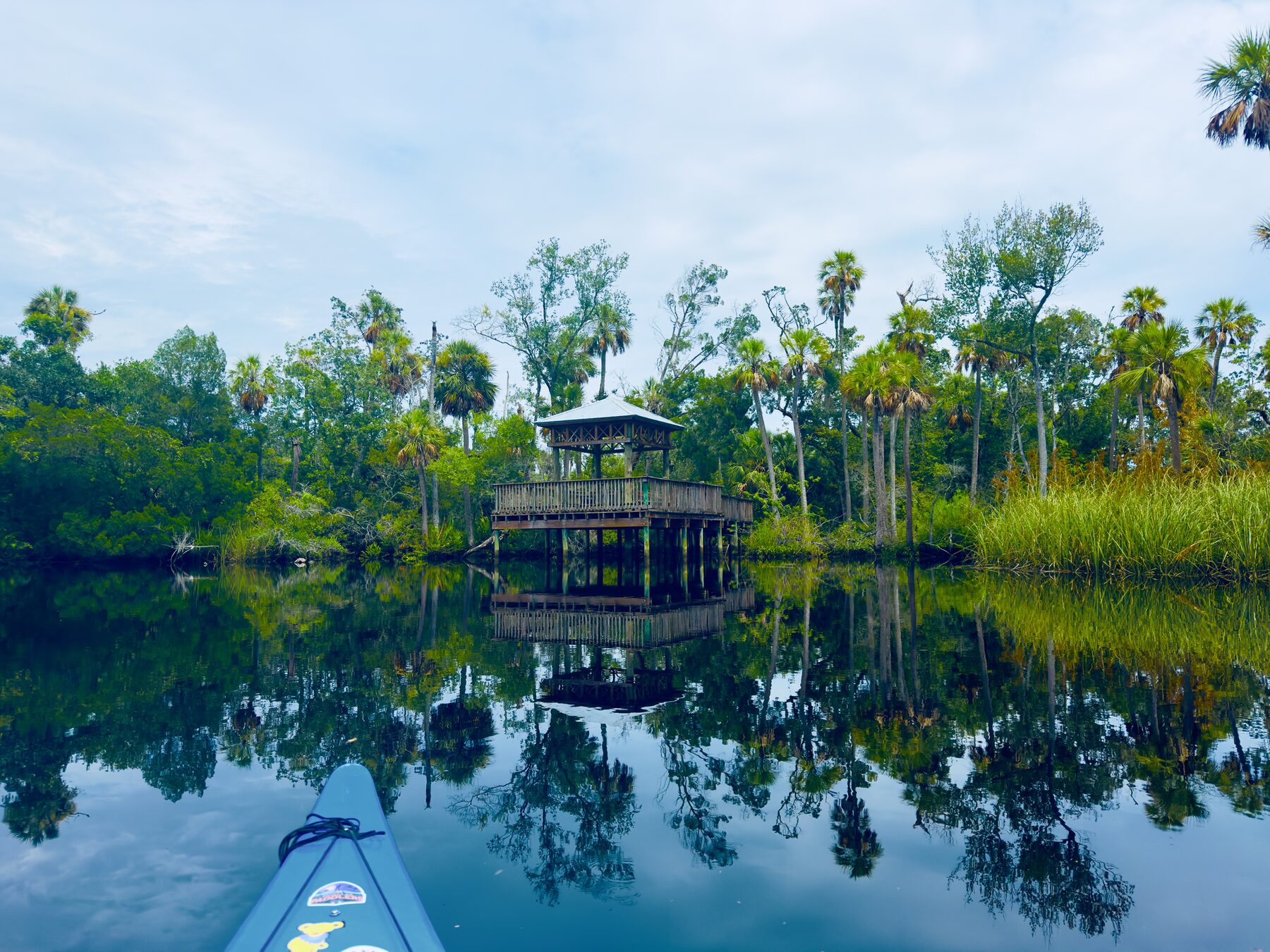
Several narrow chutes branch north from the main river near the boardwalk and its covered fishing shelter. One route winds back toward a pond with two small islands. I have gotten out and explored both islands, and the whole area feels hidden away from the surrounding city.
Another side channel reaches the Harborside manufactured-home community. Years ago, while I was looking for a home, I nearly bought a place there for $60,000. Having tidal water in the backyard would have been wonderful, but later hurricanes flooded the community and left many homes damaged or uninhabitable. It was a reminder that living beside these beautiful waterways also carries a very real flood risk.
Other canals lead past houses that still have an old-Florida feeling—some almost resembling summer camps, although more are being restored or replaced by larger year-round homes. They are fascinating to see from the water, but repeated flooding is an unavoidable concern for anyone considering living there.
These side trips make the preserve especially good for an unhurried paddle. Instead of treating every fork as a navigational problem, it can be treated as an invitation. A narrow opening may end quickly, circle an island, enter a sheltered pond or reveal another view of the boardwalk. Turning around is simply part of exploring. A phone map or recorded track makes it easier to experiment without losing track of the main channel.
One of the pleasures of the Cotee is choosing a narrow side passage simply to see where it goes.
Solo wandering, small groups and shuttle trips
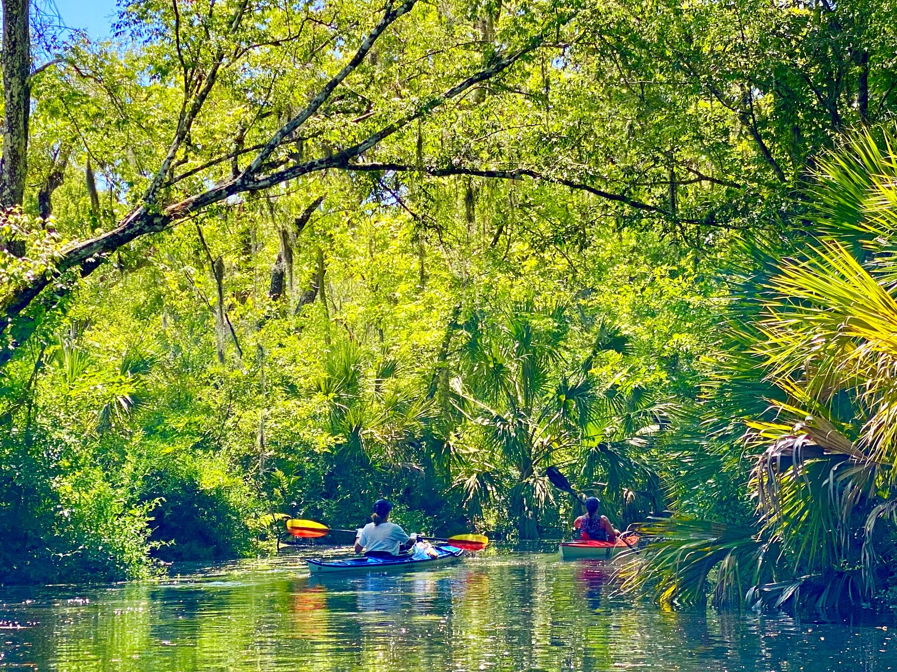
The upper Cotee works especially well for a small group because there are frequent places to slow down, regroup and decide together which channel to explore next. Narrow passages make a long line of boats cumbersome, while a compact group can move quietly and keep everyone within easy conversation distance.
An out-and-back is the simplest plan because every paddler and vehicle finishes where the trip began. Shuttle paddles require more preparation: leave enough vehicle capacity at the takeout, protect keys and phones from water, and make sure everyone understands the final landing. Frances Avenue and Sims Park create useful intermediate takeouts, so the group does not have to commit to the entire route.
Strong paddlers can also turn any of those shuttle routes into an out-and-back, but the distance doubles and the return may oppose current, tide or wind. Side explorations add even more distance, and the winding upper river can accumulate distance much faster than it appears on a road map.
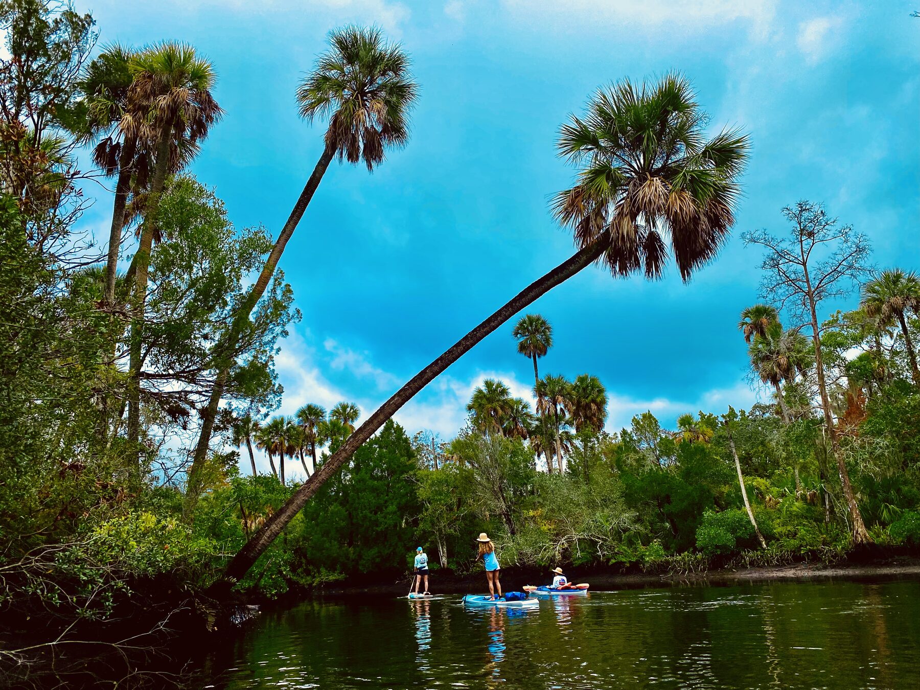
A small group can remain together while still leaving room to enjoy the quiet river.Kayaks and paddleboards can share the protected upper reaches when everyone matches the group's pace.
Three paddles through the upper river
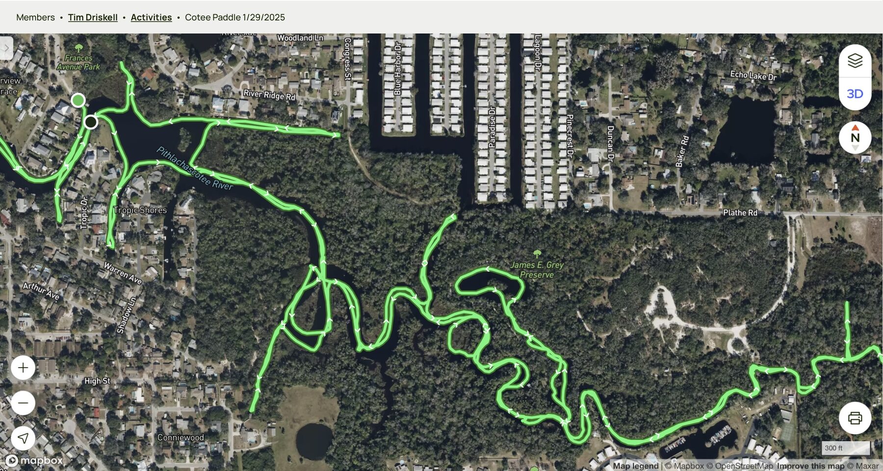
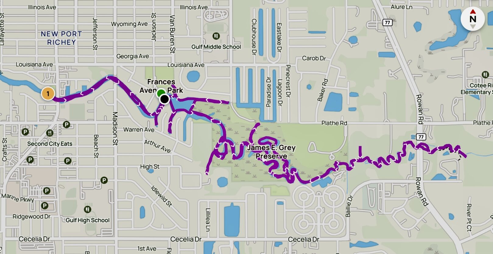
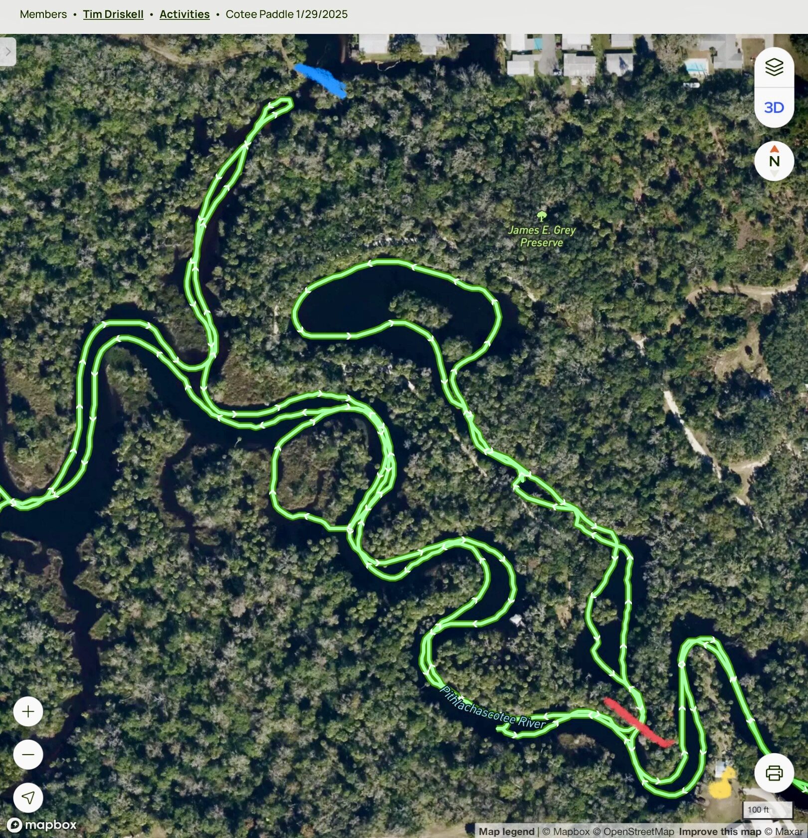
Route map #1. The many twists and side channels explored upriver.Route map #2. James E. Grey Preserve, Frances Avenue Park and the #1 is Sims Boat Launch, across from Sims Park.Route map #3. Tight bends, islands and upper-river passages. The blue and red lines might be impassable at low tide.
Cotee River paddle photographs
Photographs from repeated visits show how the upper Cotee changes with the tide, season and light. Select any photograph to open the full optimized image.
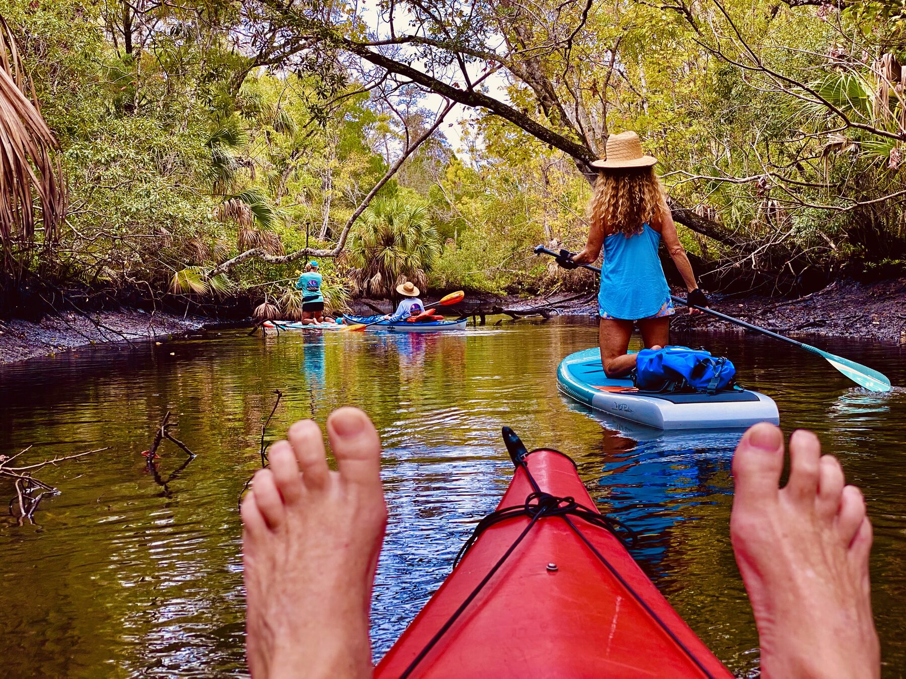
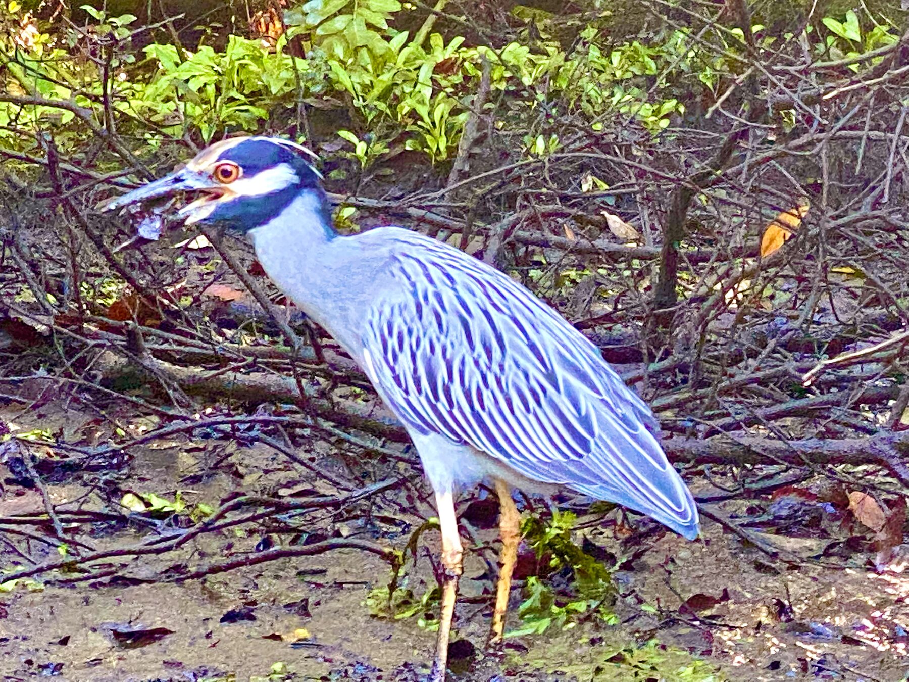
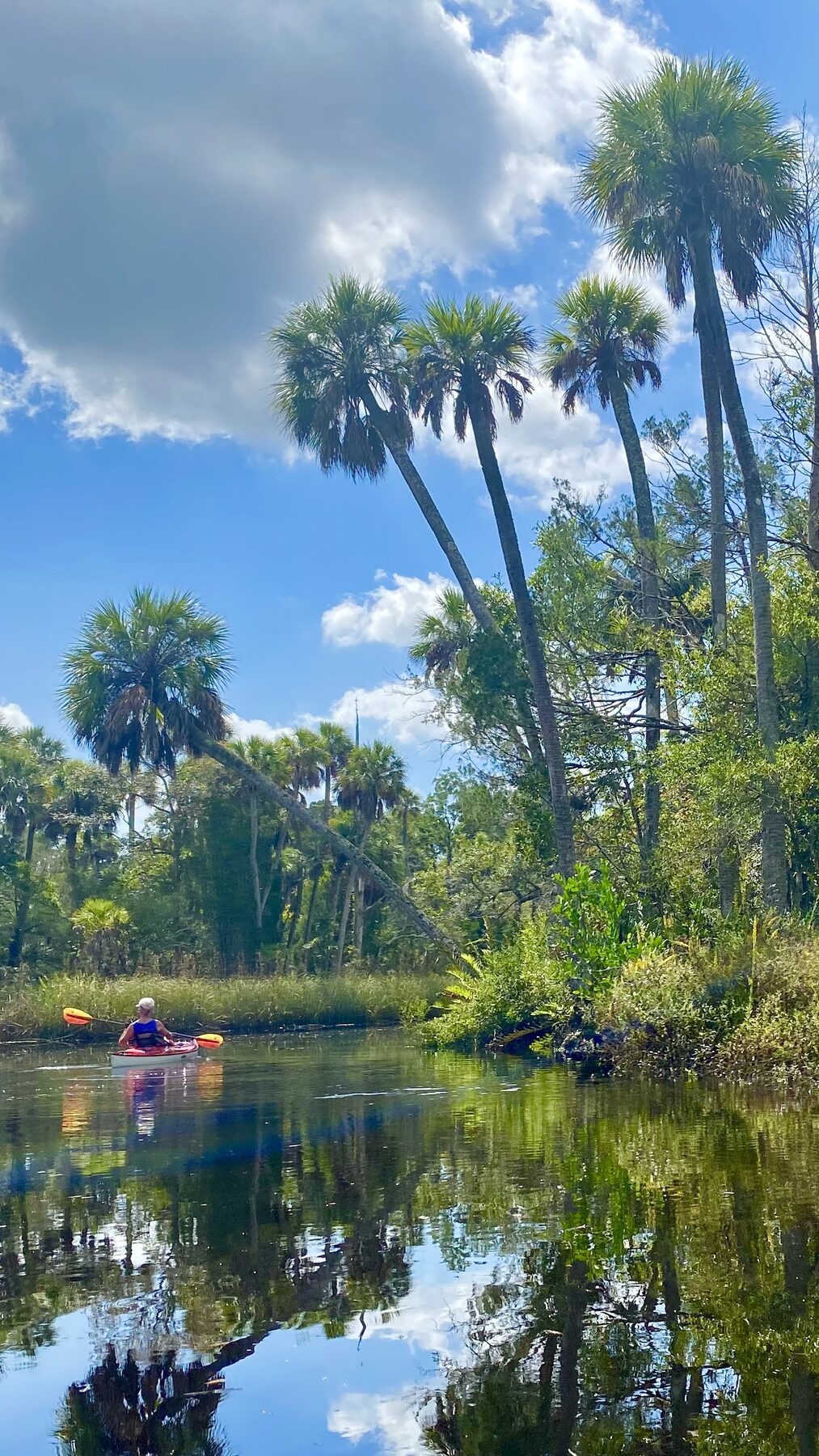
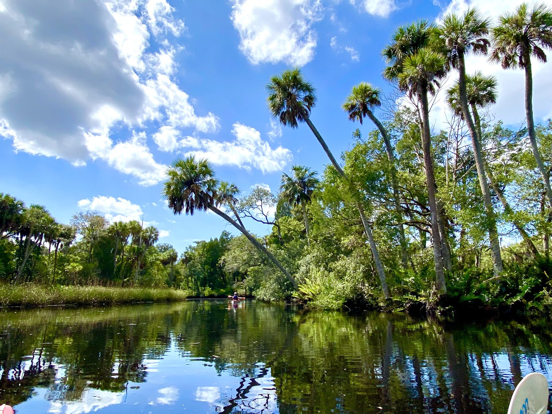
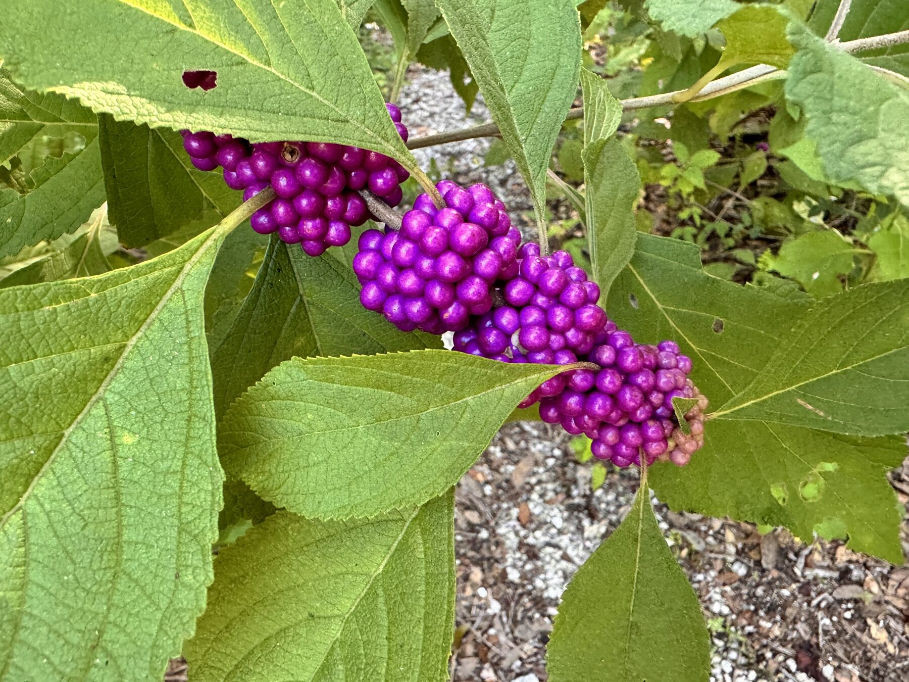
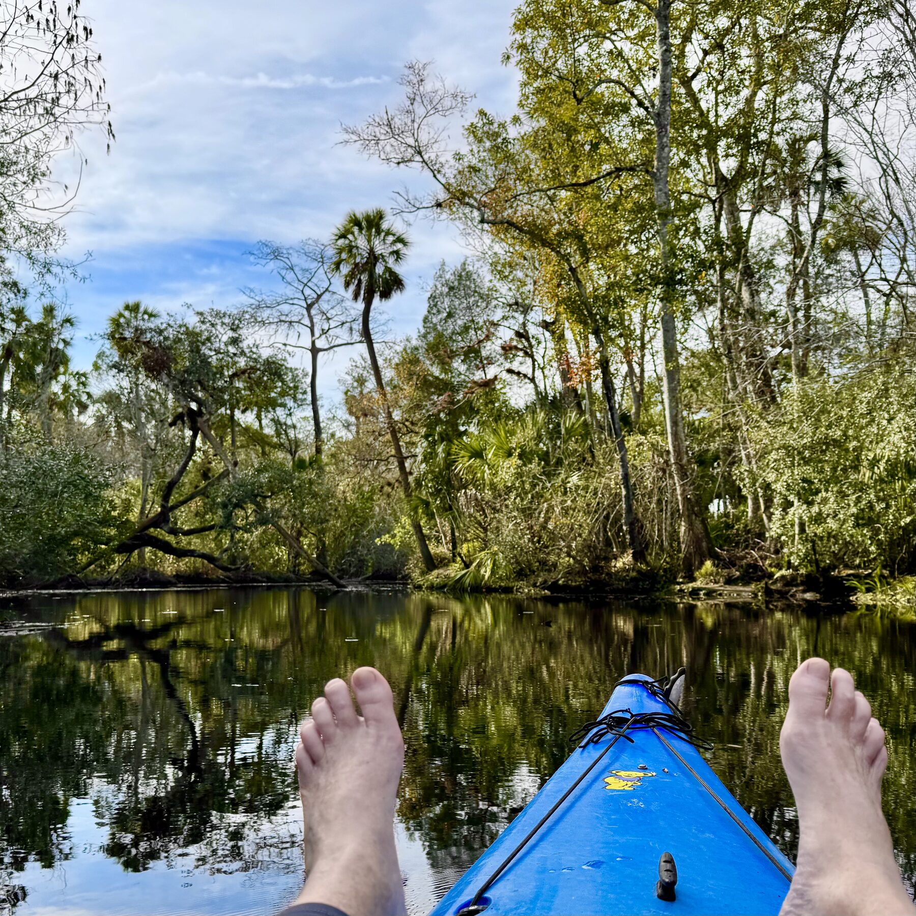
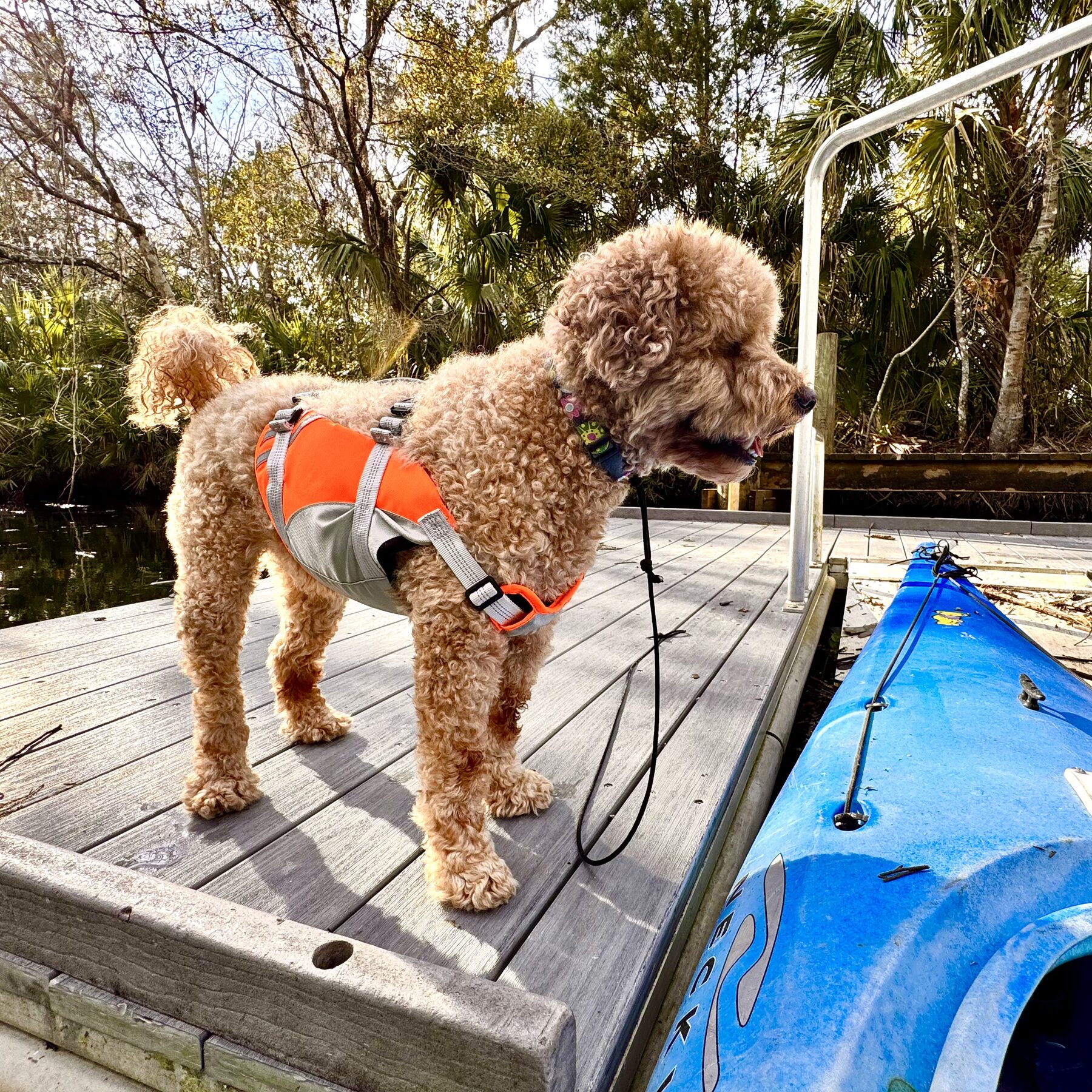
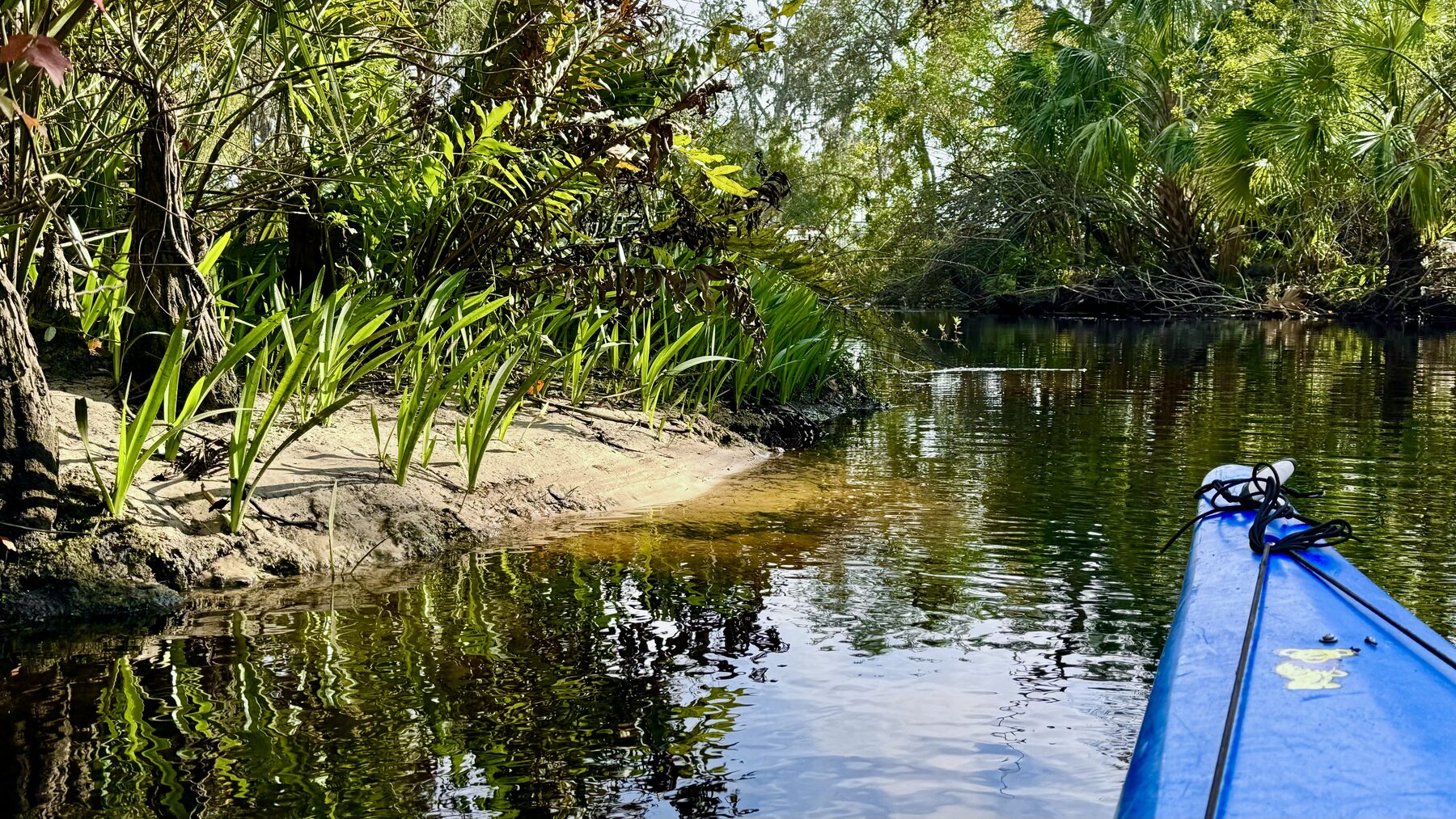
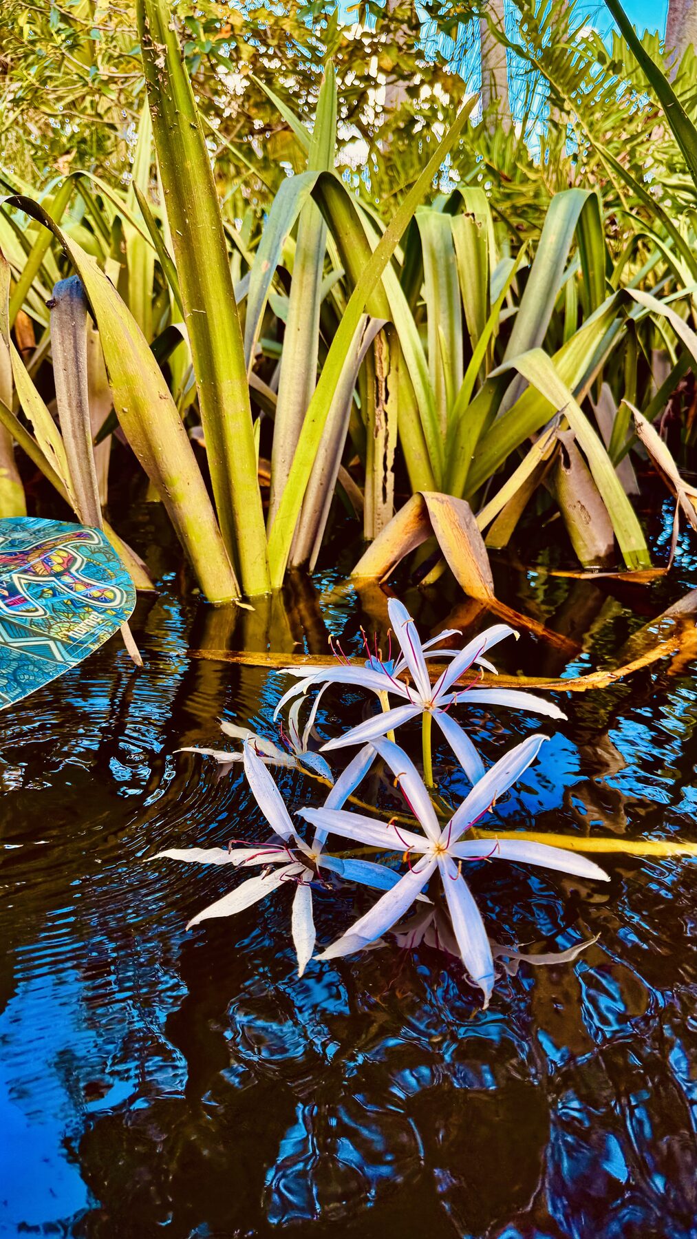
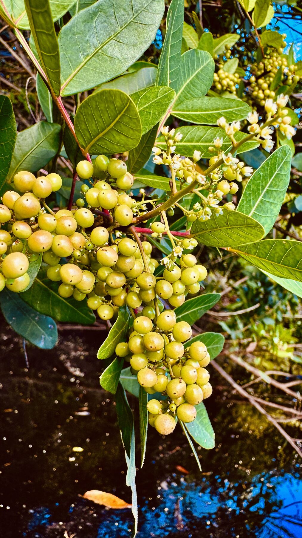
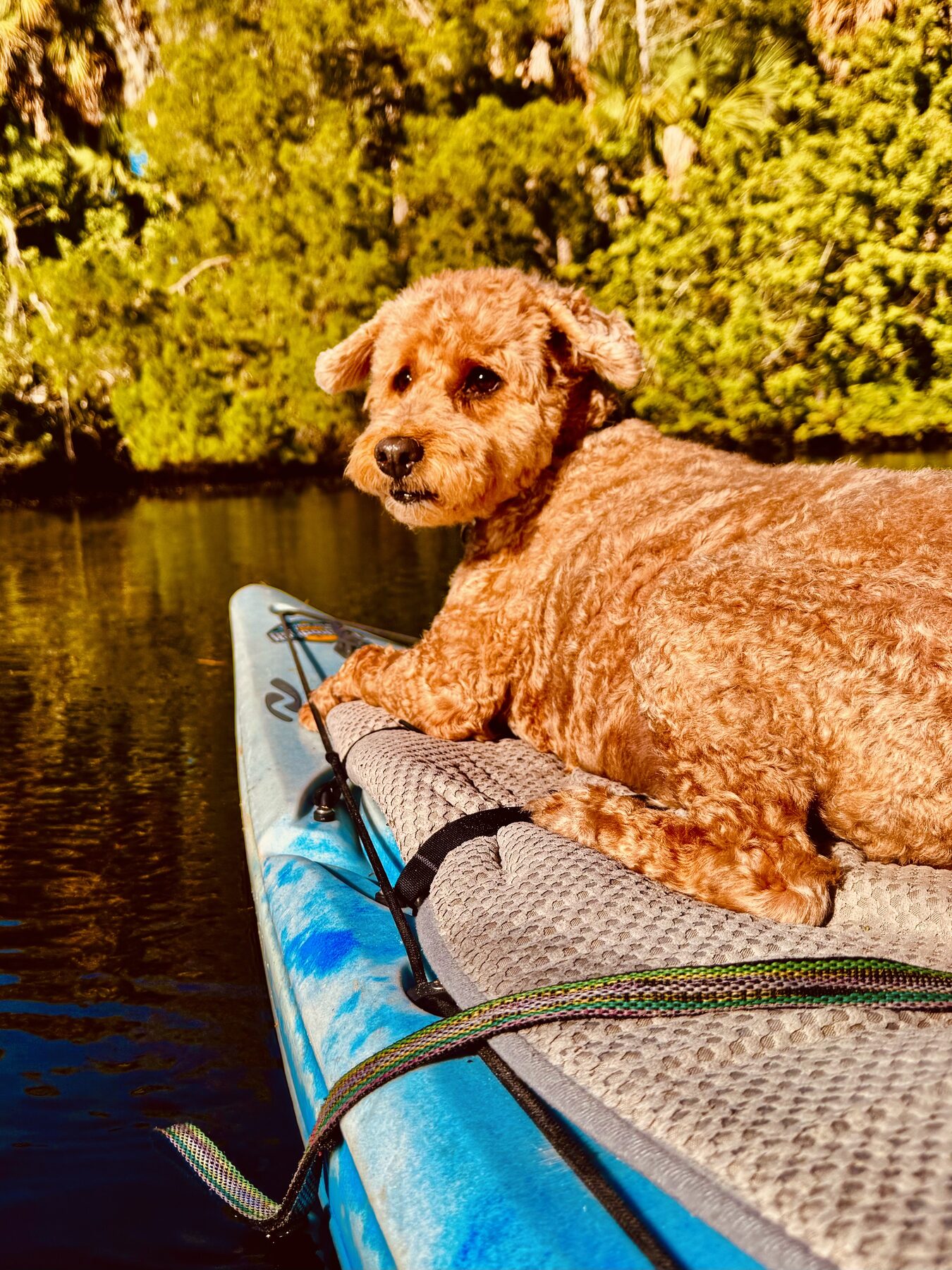
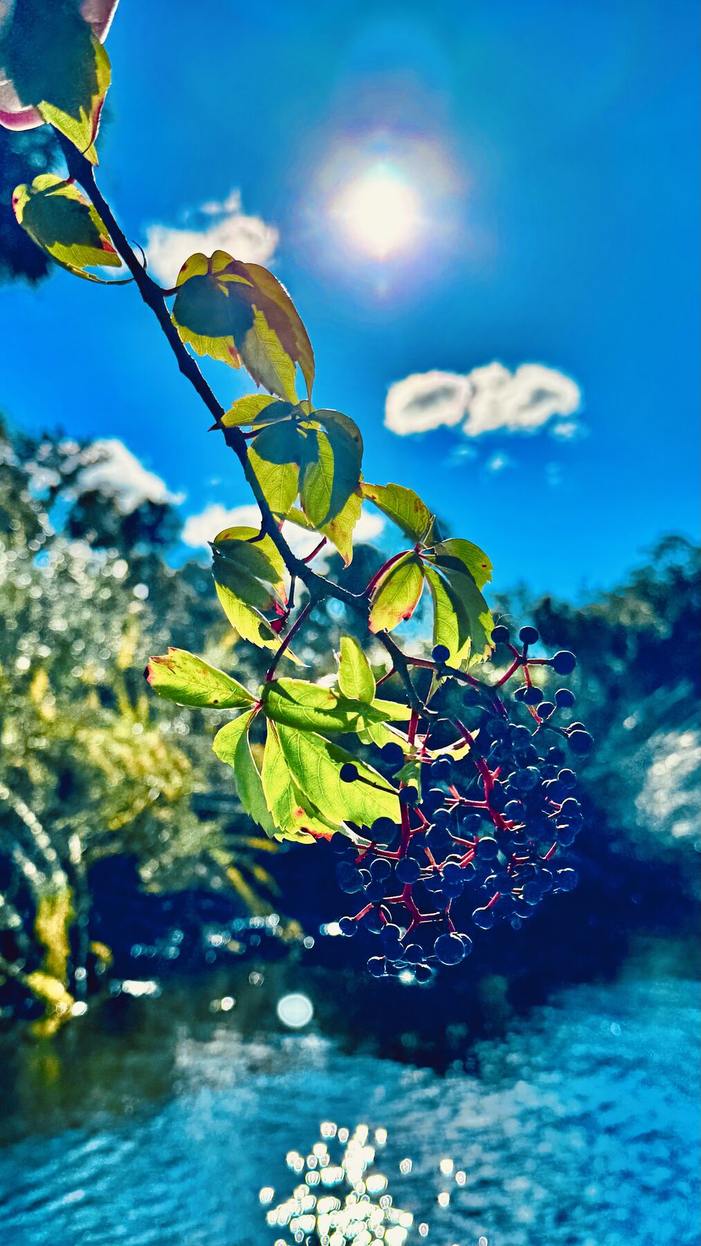
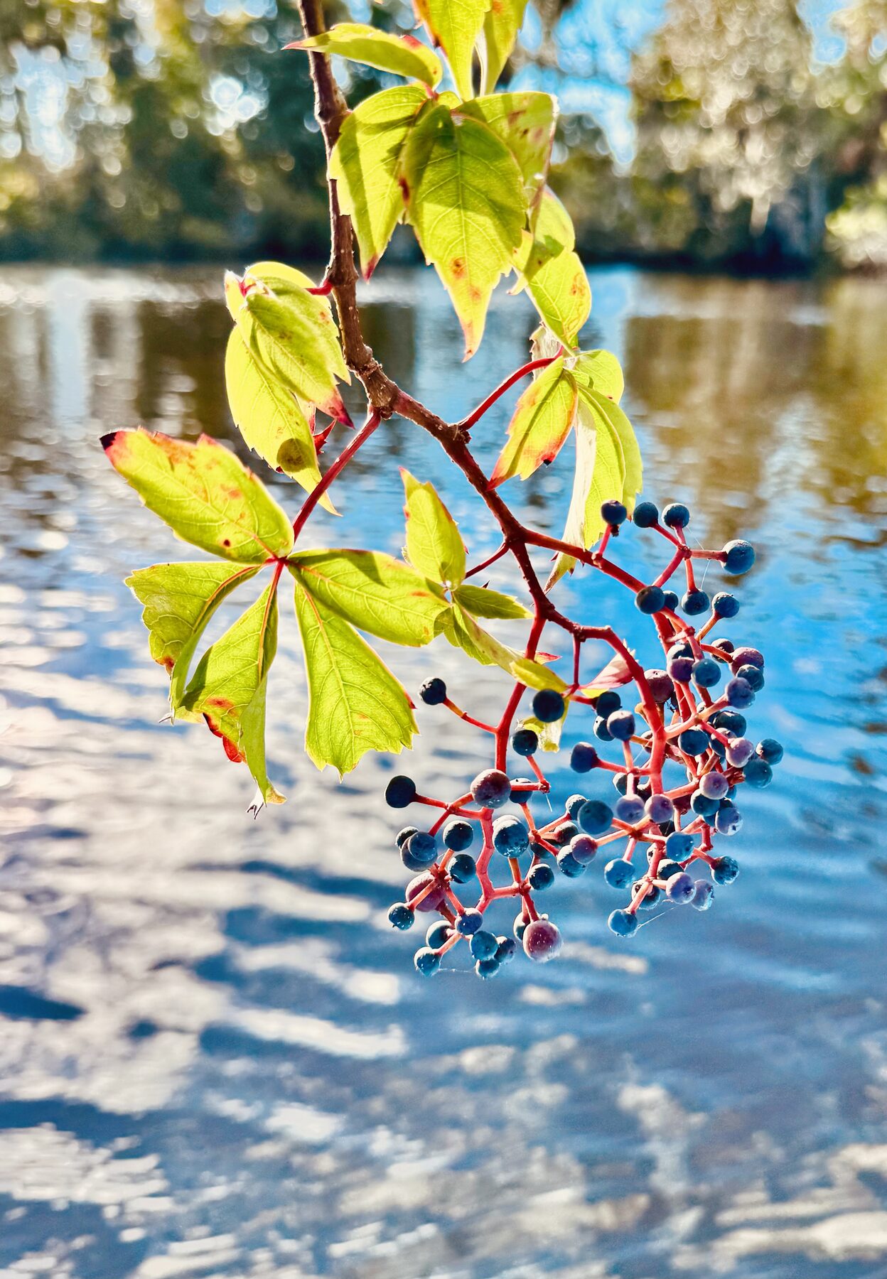
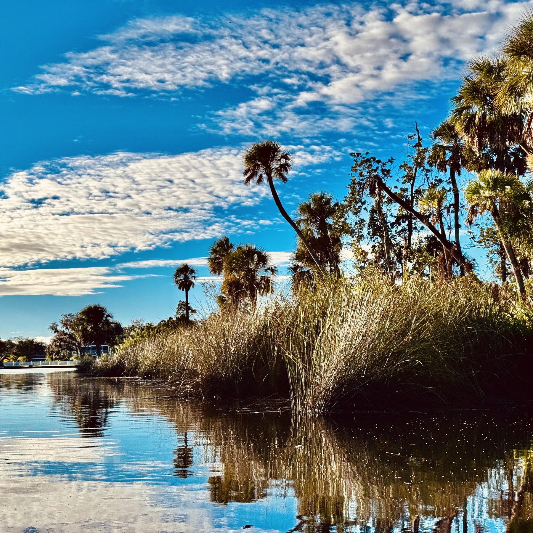
#1. A group of paddlers enters a brilliantly lit, shaded stretch of the upper Cotee River.#2. A yellow-crowned night heron watches quietly from the tangled shoreline.#3. Tall palms rise above a narrow, peaceful reach of the Cotee River.#4. Palms and a deep blue sky brighten the winding upper river.#5. Kayakers paddle beneath the dense green canopy of the upper Cotee.#6. A red kayak and its nearly perfect reflection beneath arching trees.#7. Paddlers spread across a sunny, tree-lined section of the river.#8. A small group follows the river into a tunnel of spring-green foliage.#9. Paddlers enjoy calm water and bright spring sunshine.#10. The group pauses beneath low, spreading oak limbs.#11. A paddleboarder and kayakers explore a quiet side channel.#12. Paddlers follow a narrow side channel through palms and marsh grasses.#13. Leaning palms frame the paddlers beneath a vivid Florida sky.#14. Clusters of brilliant purple Florida beautyberries along the river.#15. A relaxed view from the kayak on a quiet upper-river bend.#16. Buddyboy stands ready for another Cotee River adventure from a pet-friendly access point.#17. A sandy inside bend beneath the thick riverside vegetation.#18. The bow of the kayak points toward palms reflected in glassy water.#19. A massive mossy oak limb reaches low across the dark, reflective river.#20. A wooden observation deck overlooks the still water near the preserve.#21. The kayak glides toward a stand of palms on calm summer water.#22. Palms and marsh grasses form a crisp reflection on the pond.#23. Cattails rise along the wetland edge beneath a soft summer sky.#24. White spider lilies bloom beside the Cotee River.#25. Delicate white spider lilies emerge at the water's edge.#26. Clusters of pale green berries hang over the river.#27. Buddyboy settles aboard the kayak for a peaceful river outing.#28. A kayak-level view of palms, blue sky and dark reflective water.#29. Dark riverbank berries glow in the afternoon sunlight.#30. Sunshine and scattered clouds mirror across the broad, still water.#31. Palms, clouds and blue sky create a dramatic vertical reflection.#32. A spray of red and purple berries hangs above the Cotee.#33. Palms and high clouds mark a beautiful open stretch of the river.
Downriver toward Sims Park
Everything described so far is in the upper portion of the river. Paddlers can continue downstream as the river widens and development and powerboat traffic become more noticeable. Sims Park appears along the river in downtown New Port Richey, and public river access is also available in that area.
I have paddled well beyond Sims Park toward the broader lower river. Some people enjoy the more urban character of that section, but I strongly prefer the upper reaches, where the river feels quieter, greener and much farther removed from the city.
That does not make the downtown and lower river uninteresting—only different. Sims Park makes it possible to combine paddling with time downtown, and the broader river gives stronger paddlers room for a longer workout. Continuing toward Nick's Park completes the full river route described here. Beyond that area are Miller's Bayou and the increasingly coastal reaches, where exposure, wind, tide and motorboat traffic matter much more than they do beneath the upper-river canopy.
For anyone unsure which section to choose, I would begin with the upper river. After learning its bends and side channels, a later trip from Grey Preserve through Sims Park makes the changing character of the whole river much easier to appreciate.
Birds, turtles and the possibility of alligators
The upper river is an excellent place to slow down and watch wildlife. I regularly see fish, turtles and many wading birds. The sounds of birds and other wildlife are a major part of what makes this paddle special.
I have seen only one alligator here during my many trips, but that does not mean they are absent. The river is brackish, becoming fresher toward the headwaters and during the rainy season when tributaries carry more freshwater. Alligators can appear anywhere suitable habitat exists, so paddlers should remain observant and keep pets away from the water's edge.
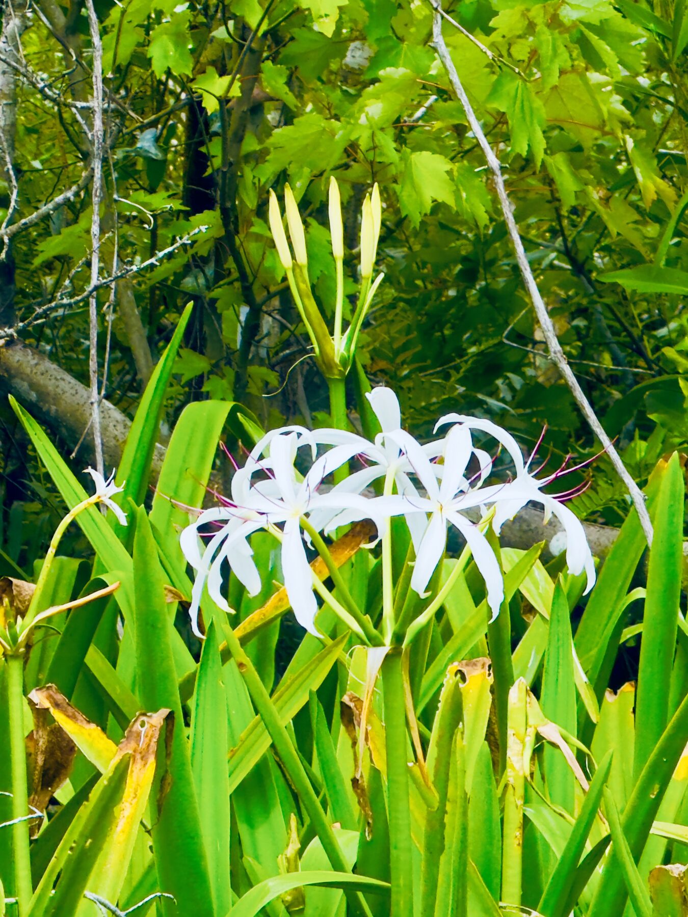
The preserve is part of the Great Florida Birding Trail, and the city reports more than 140 bird species there. Different seasons bring different flowers, fruit and foliage as well as changing bird activity. Spider lilies along the water are among the most memorable warm-season sights, while calm mornings can produce extraordinary reflections of palms, clouds and arching oaks.
A yellow-crowned night heron stands almost motionless among the shoreline branches.White spider lilies are one of the beautiful seasonal details easily missed by paddlers in a hurry.
Let the river provide the soundtrack
This is a preserve and a place where walkers, birders and paddlers come to enjoy quiet time in nature. Loud music and shouting can travel a long distance across the water and through the woods, disturbing wildlife as well as other visitors.
Waterproof earbuds or headphones make it possible to enjoy personal music without imposing it on everyone else. Better yet, leave the music off for a while. The natural sounds along the Cotee River are one of the best reasons to be there.
Paddle prepared
Wear a properly fitted vest-style PFD.
Check weather, wind and recent rainfall before launching.
Carry water, sun protection and a waterproof means of communication.
Watch for downed trees, submerged branches and changing current.
Give motorboats room, especially near downtown and the lower river.
Respect wildlife and never feed or approach alligators.
Confirm park hours, launch conditions and parking rules before your trip.
Leave a float plan with someone who is not on the paddle.
Conditions, facilities and access rules can change. Verify current information locally before launching.