On November 21, 2021, I launched my kayak at Werner-Boyce Salt Springs State Park for a solo paddle into one of the quietest and most interesting stretches of the Pasco County coast. The park lies just west of U.S. 19 in Port Richey, but once the launch channel disappears behind the mangroves, the highway and development seem surprisingly far away.
This is not a broad river with one obvious course. It is a coastal mosaic of tidal creeks, sheltered ponds, mangrove shorelines and open expanses of marsh. The changing light, reflections and twisting passages make the journey feel much larger than the distance traveled.
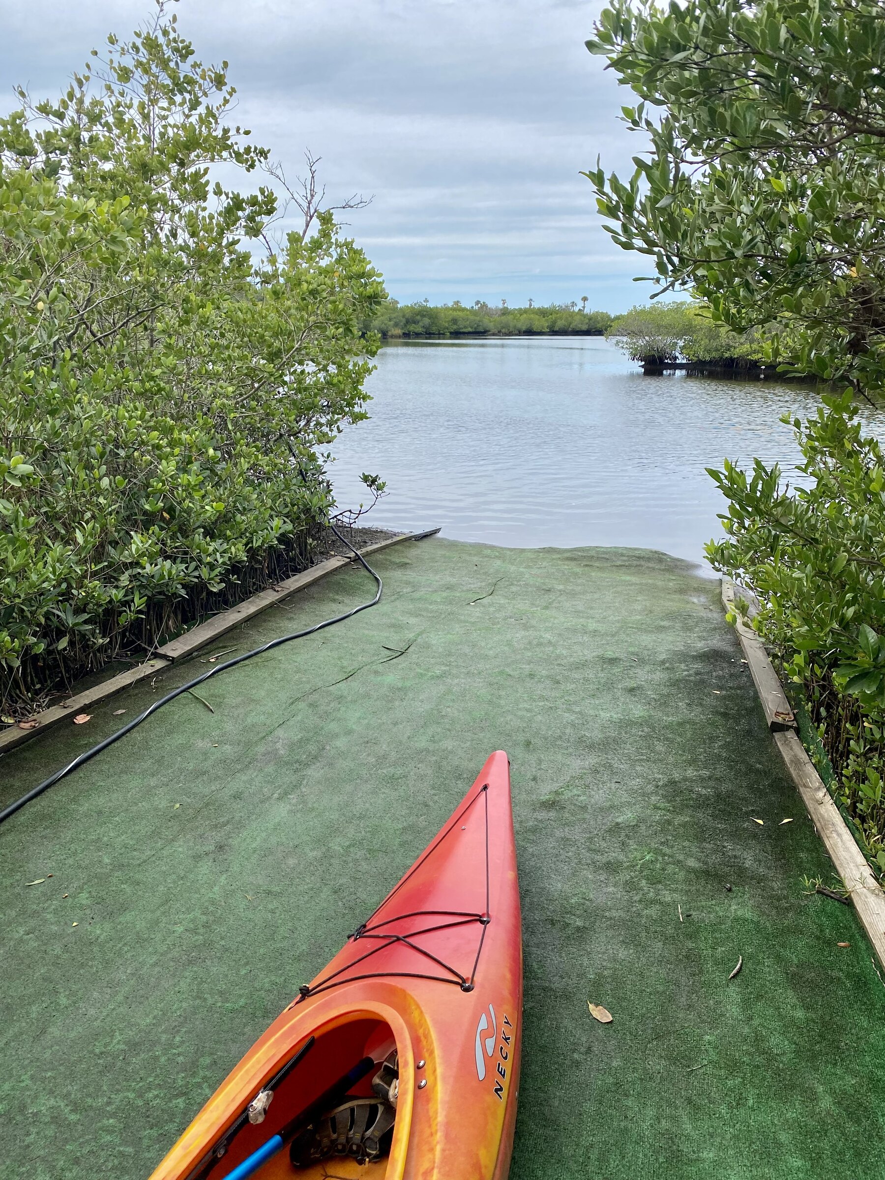
Leaving the launch
The paddle begins on a narrow channel closely bordered by mangroves. The bow of my kayak pointed toward the open marsh, where protected water and a broad November sky promised an easy day of exploring.
A paddle built for exploration
The park's kayak launch provides direct access to the tidal creeks. From here, the best plan is to pay attention to the tide, carry the usual safety gear and let the connected waterways lead the way.
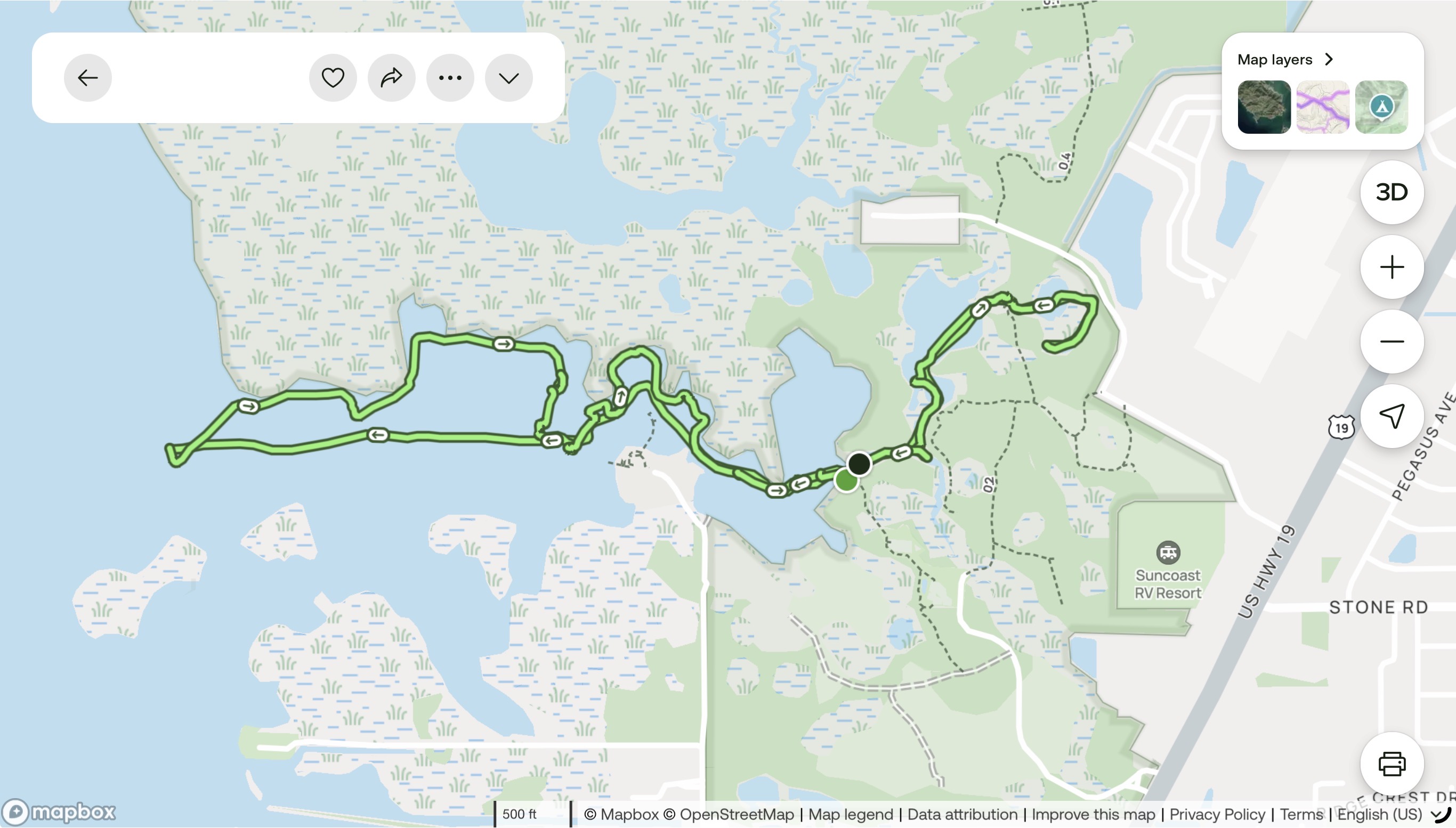
My route through the marsh
The recorded track shows how quickly I left the park launch and entered the maze of tidal water. I explored the protected channels and Salt Spring area, then worked west through the marsh before following the more open shoreline toward the Gulf.
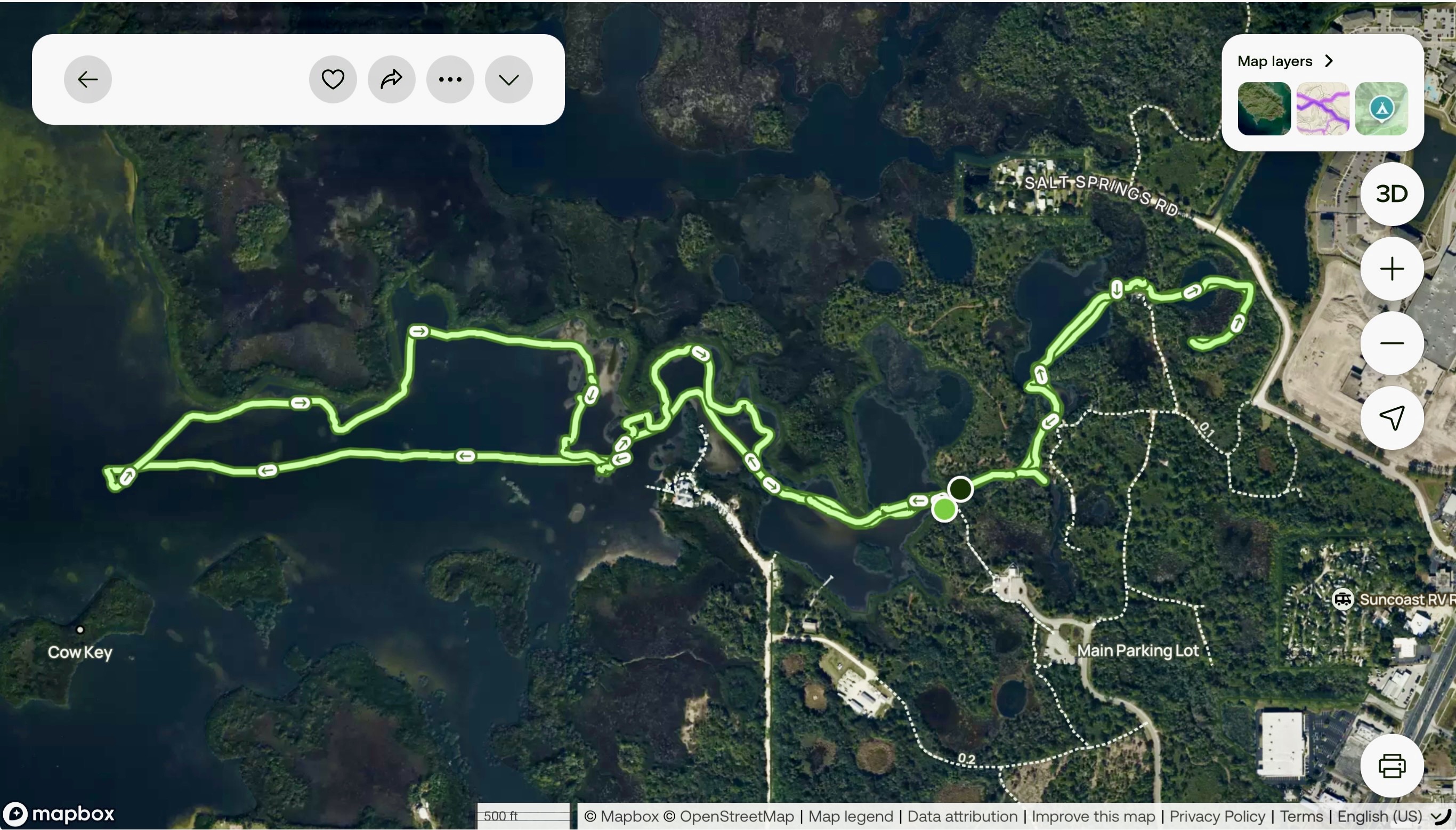
The same route from above
The satellite view reveals dark tidal creeks, scattered mangrove islands, broad shallow bays and the developed U.S. 19 corridor just east of the park. The winding track captures the pleasure of this place—there is no single straight course, only one inviting opening after another.
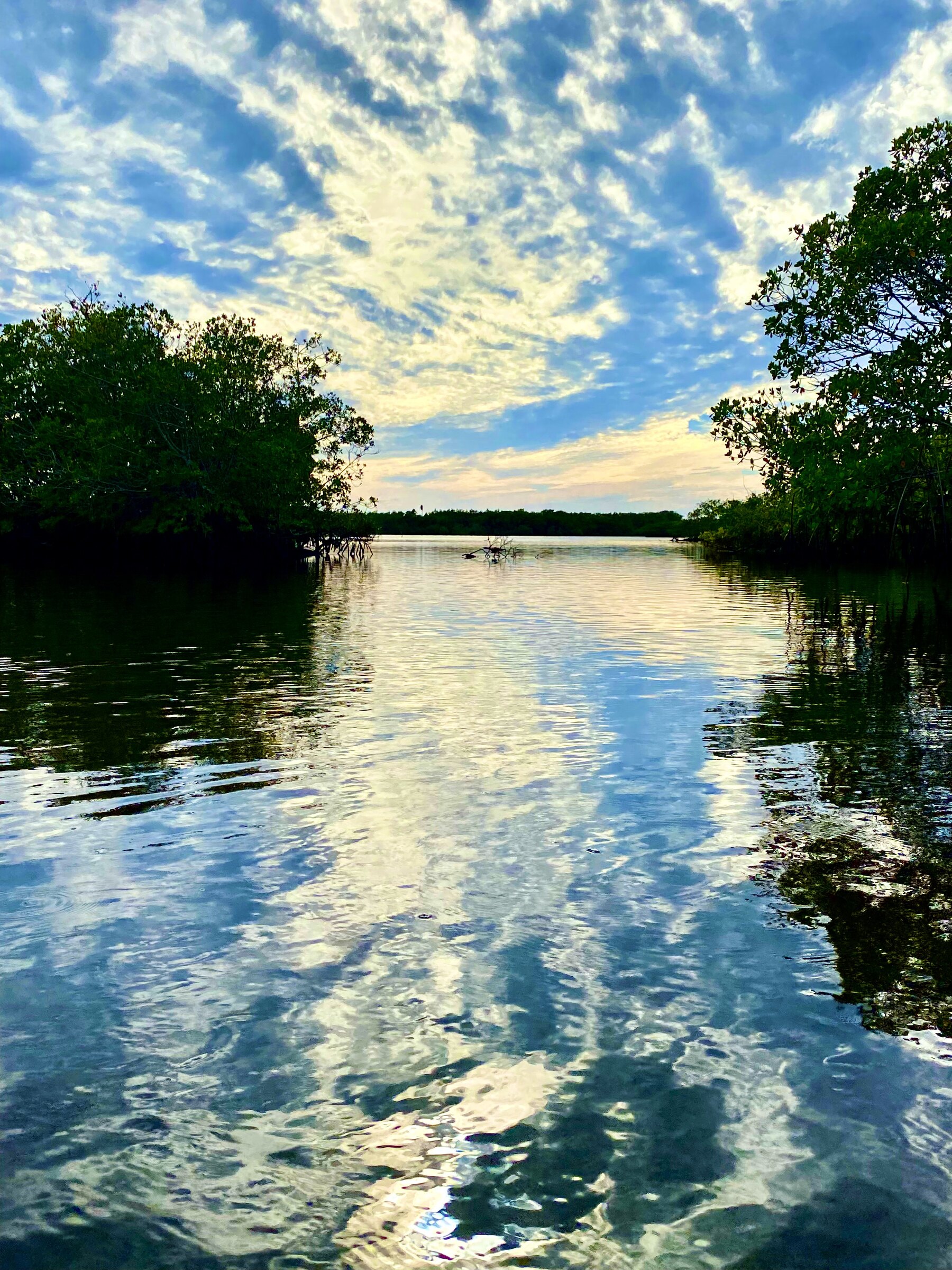
Through the first mangrove opening
The route immediately became intimate. Mangrove roots crowded the shoreline while narrow openings hinted at larger water beyond, exactly the kind of country where a kayak feels at home.
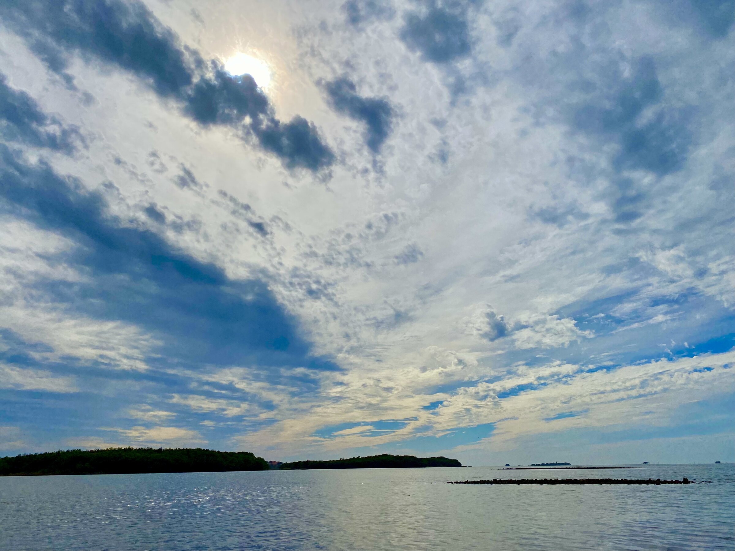
A broad coastal sky
Beyond the first passage, the view opened dramatically. Broken clouds spread from horizon to horizon, giving the shallow coastal water a changing pattern of blue, silver and shadow.
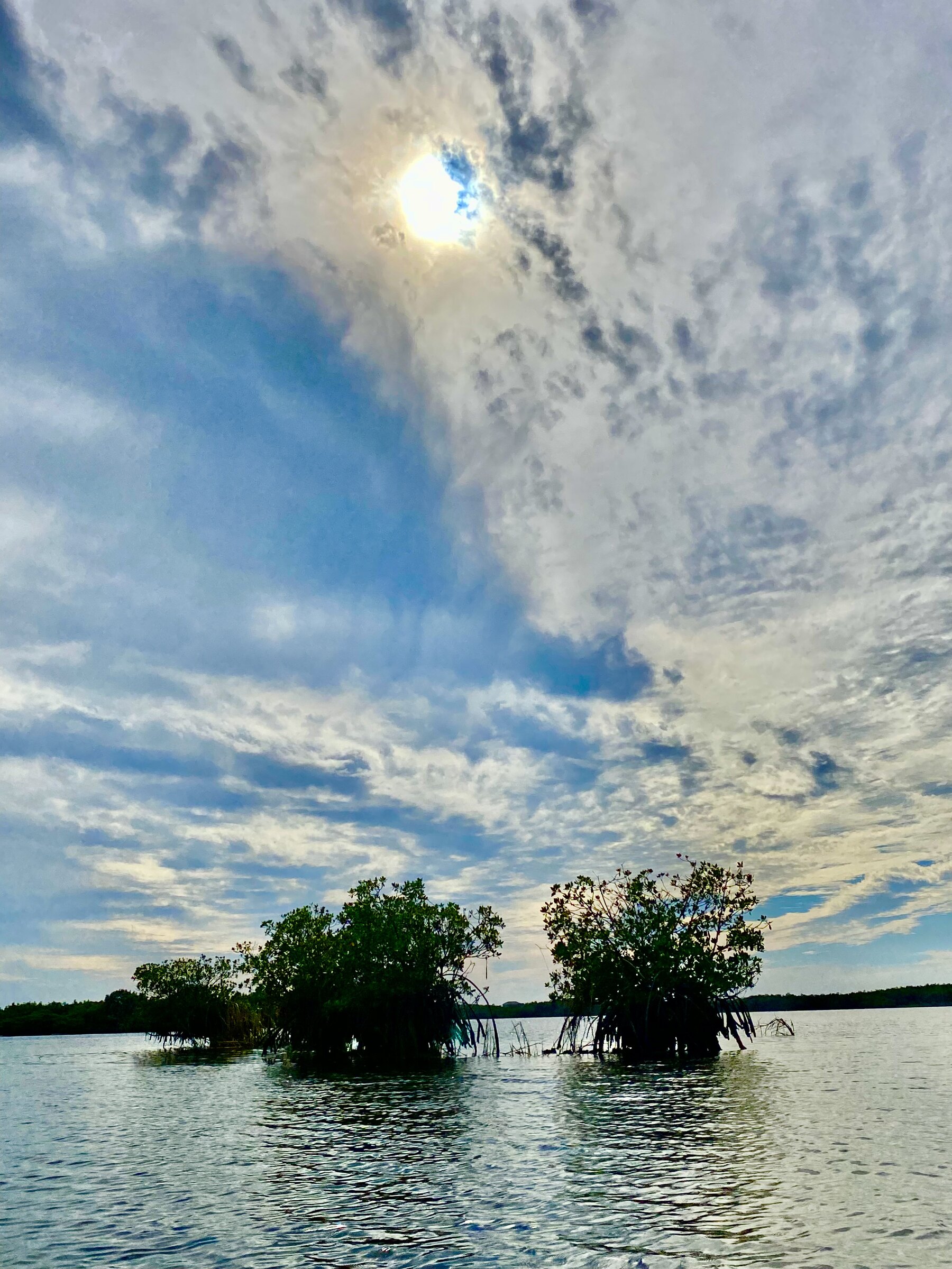
Islands in the marsh
Scattered mangrove clumps rise from the shallow water like tiny islands. They shelter young fish, break the wind and give a paddler endless choices—around the outside, through an opening or deeper into the maze.
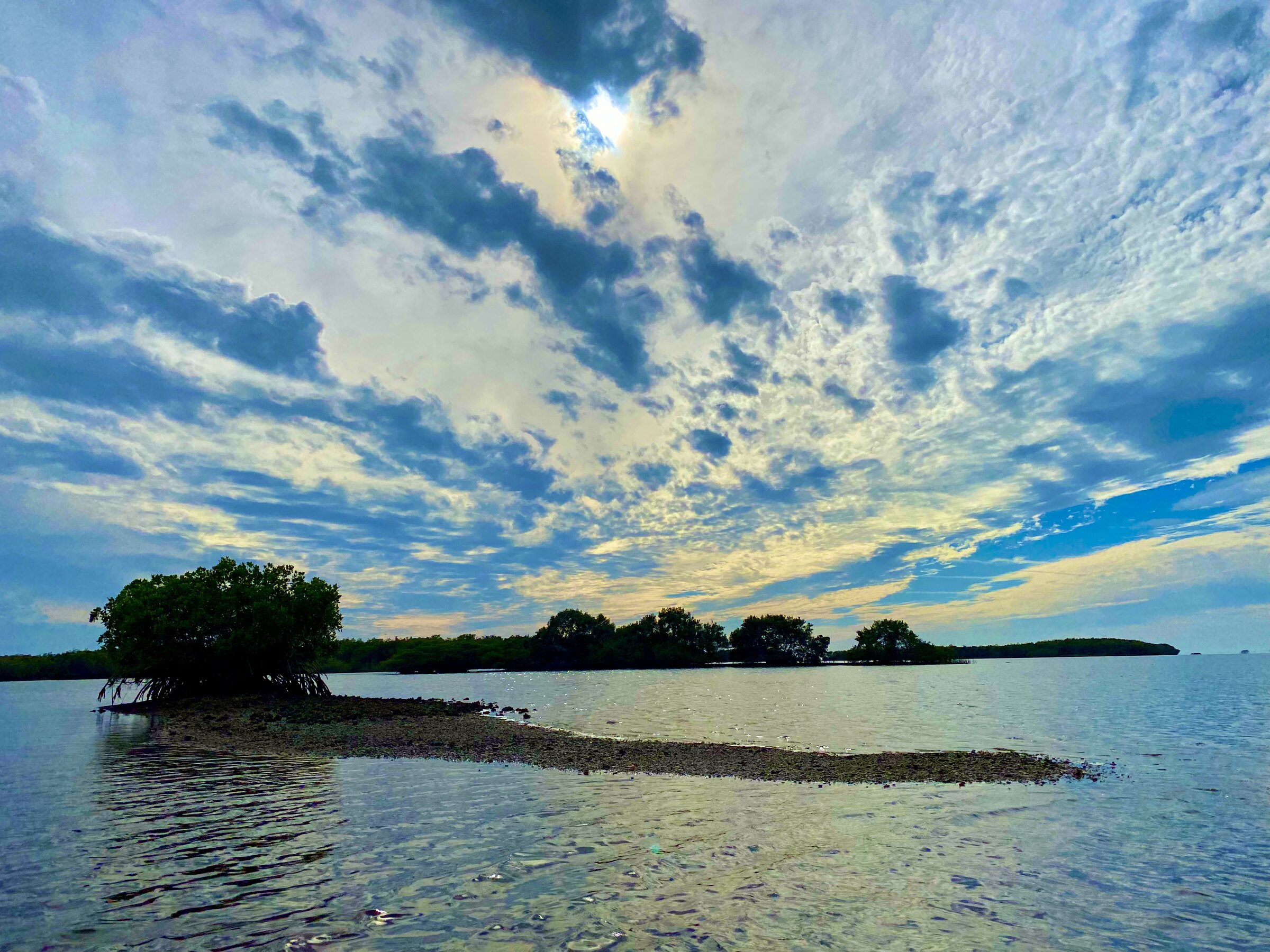
Out into open water
The park protects a long strip of Gulf coastline and the adjoining marsh. The water feels expansive here, but low mangrove shorelines are always close enough to keep the paddle intimate and sheltered.
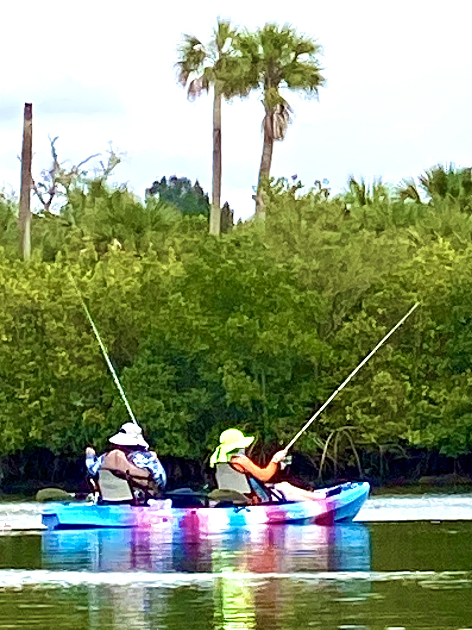
Quiet water shared
A few anglers were taking advantage of the same calm conditions. The maze of mangrove edges, pockets and channels creates good fishing habitat without making the park feel crowded.
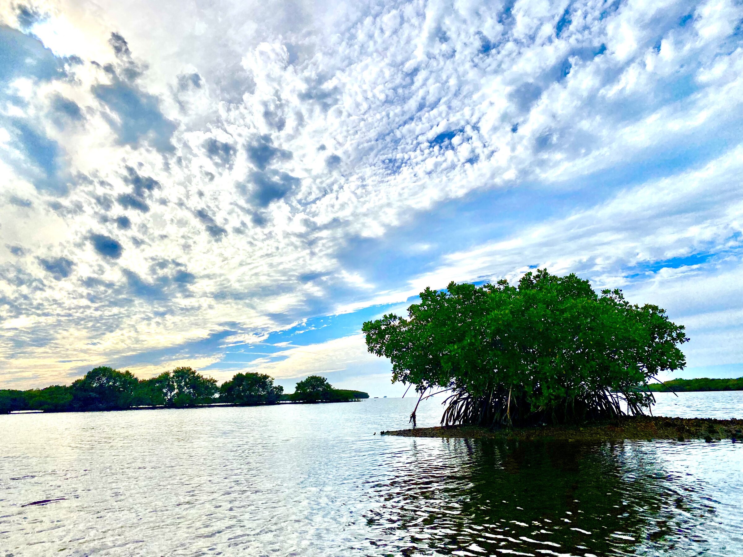
A living shoreline
Mangroves are the structure of this landscape. Their tangled roots hold sediment, soften wave energy and provide nursery habitat. Even a single tree can become a small world of its own.
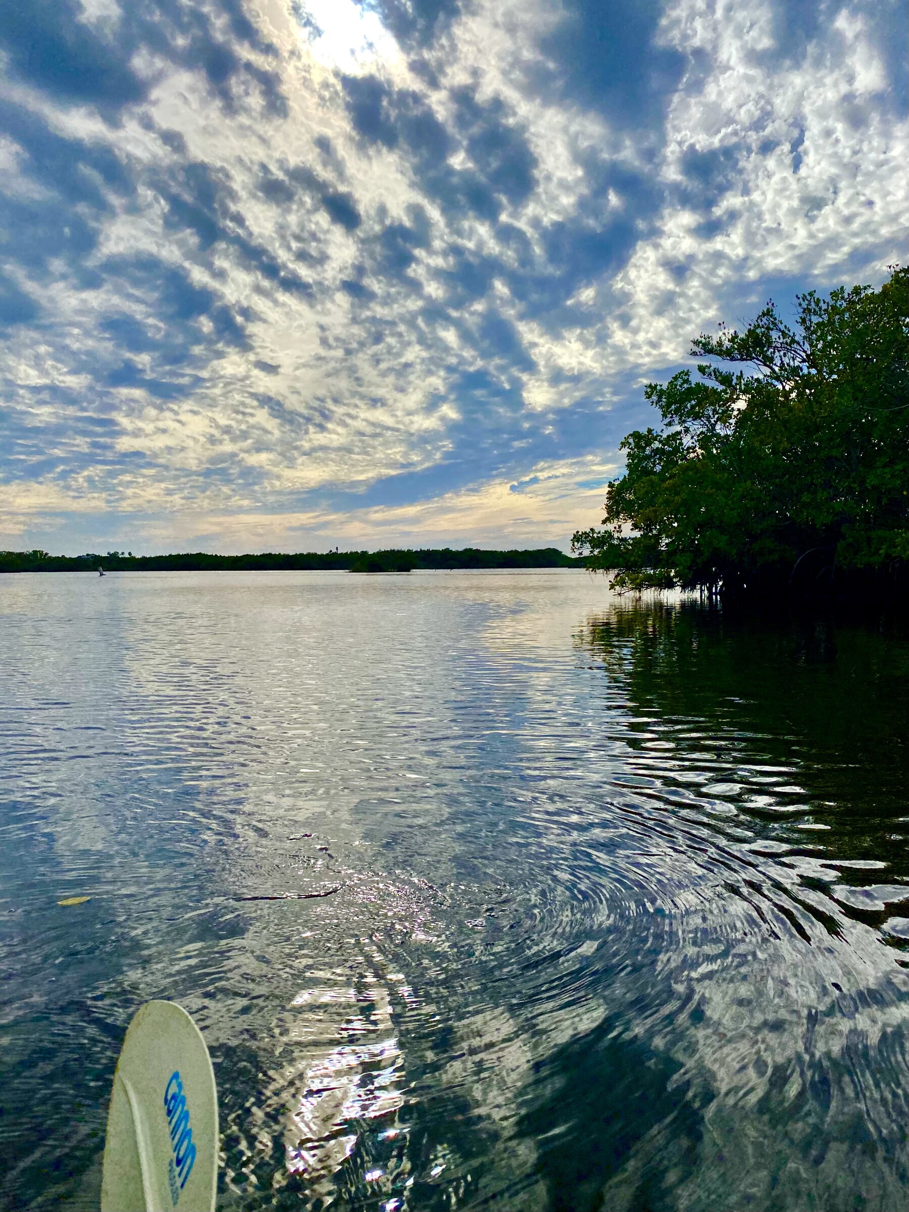
Following the water's openings
The route was a matter of reading the landscape—watching for the deeper color of a passable channel and following openings between the mangroves. Reflections nearly erased the boundary between water and sky.
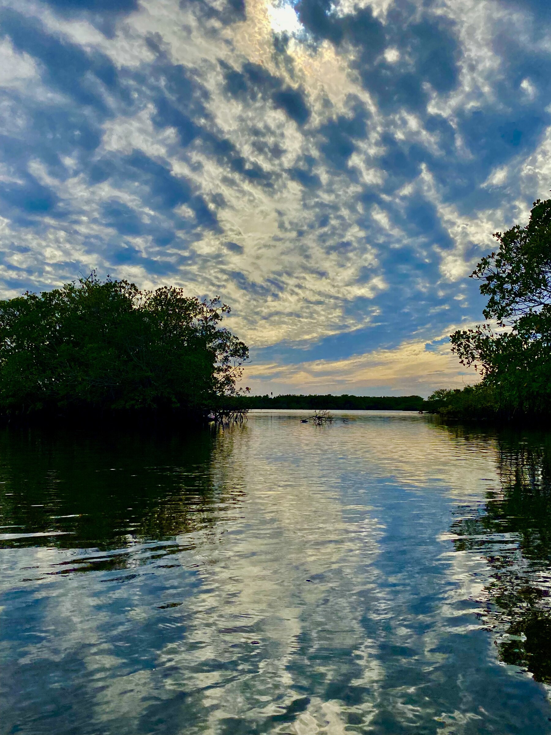
Stillness in the backwaters
There was very little wind inside the protected channels. Every cloud and mangrove edge was doubled in the surface, disturbed only by the widening trail of my paddle strokes.
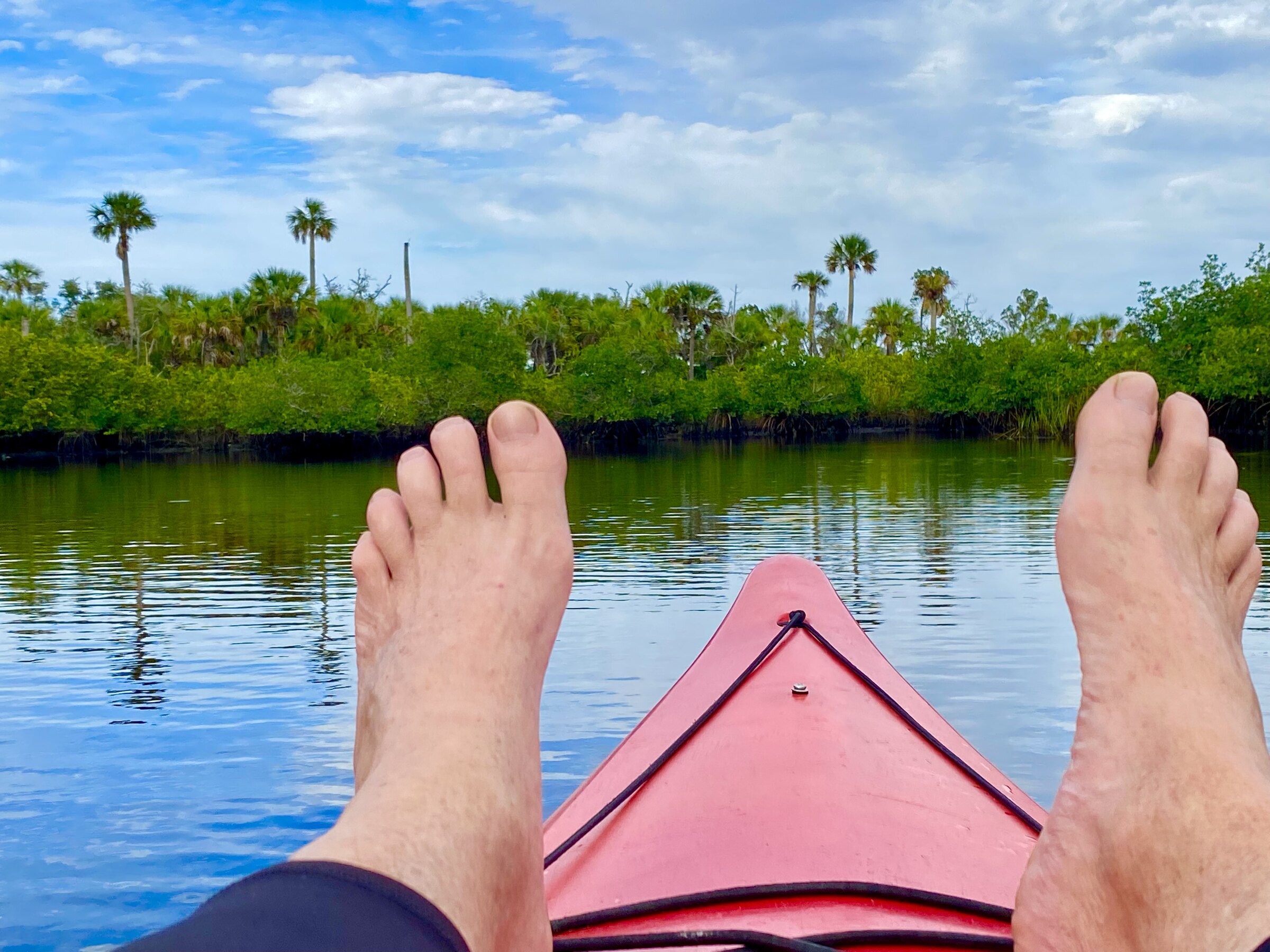
No reason to hurry
Solo paddles are especially good for stopping whenever the scene demands it. With flat water ahead and marsh grass along the channel, I could drift, put my feet up and simply enjoy the quiet.
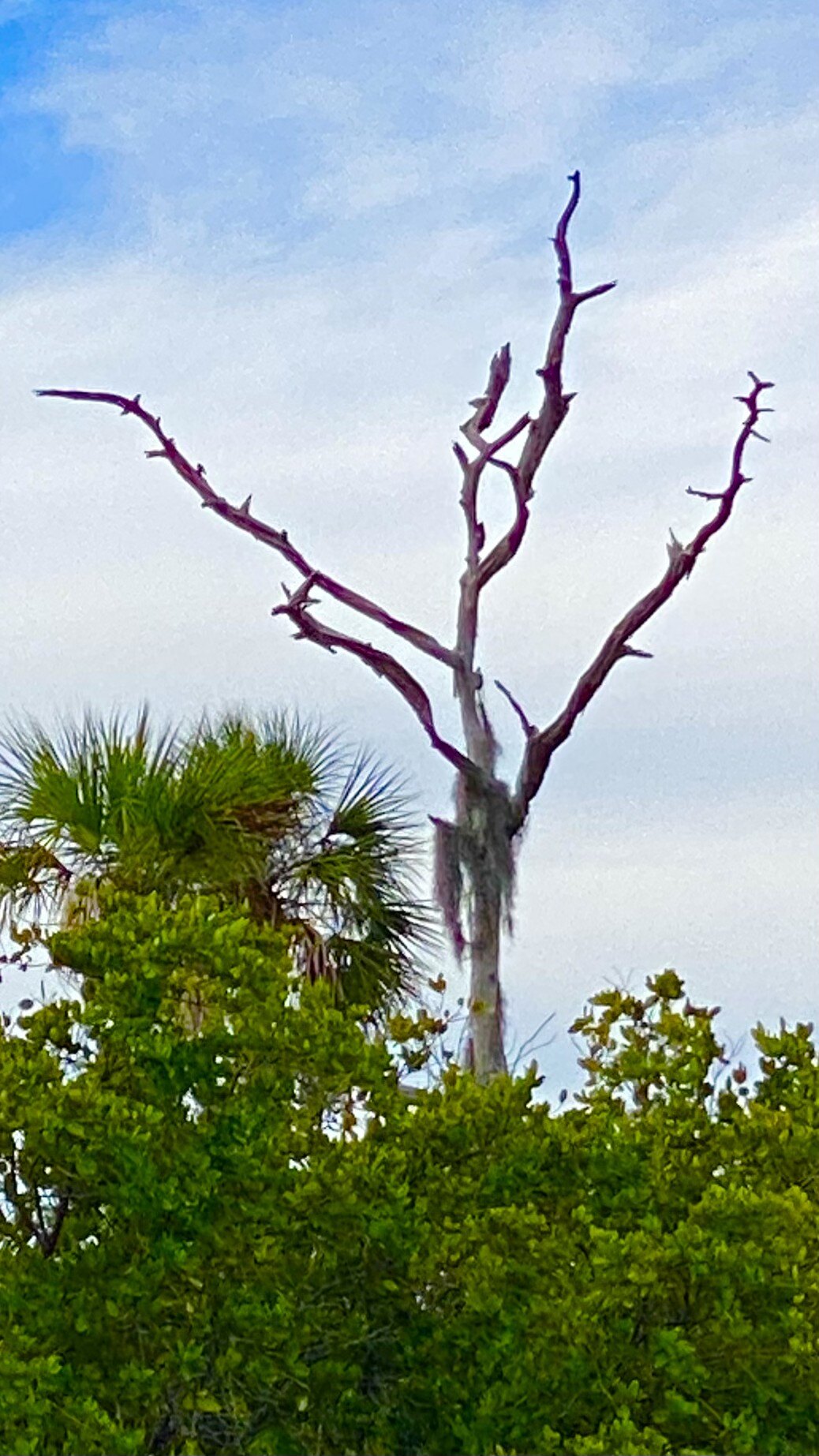
A perch above the marsh
Bare snags stand out sharply in this low landscape. They offer open perches for birds and add another striking shape against the huge coastal sky.
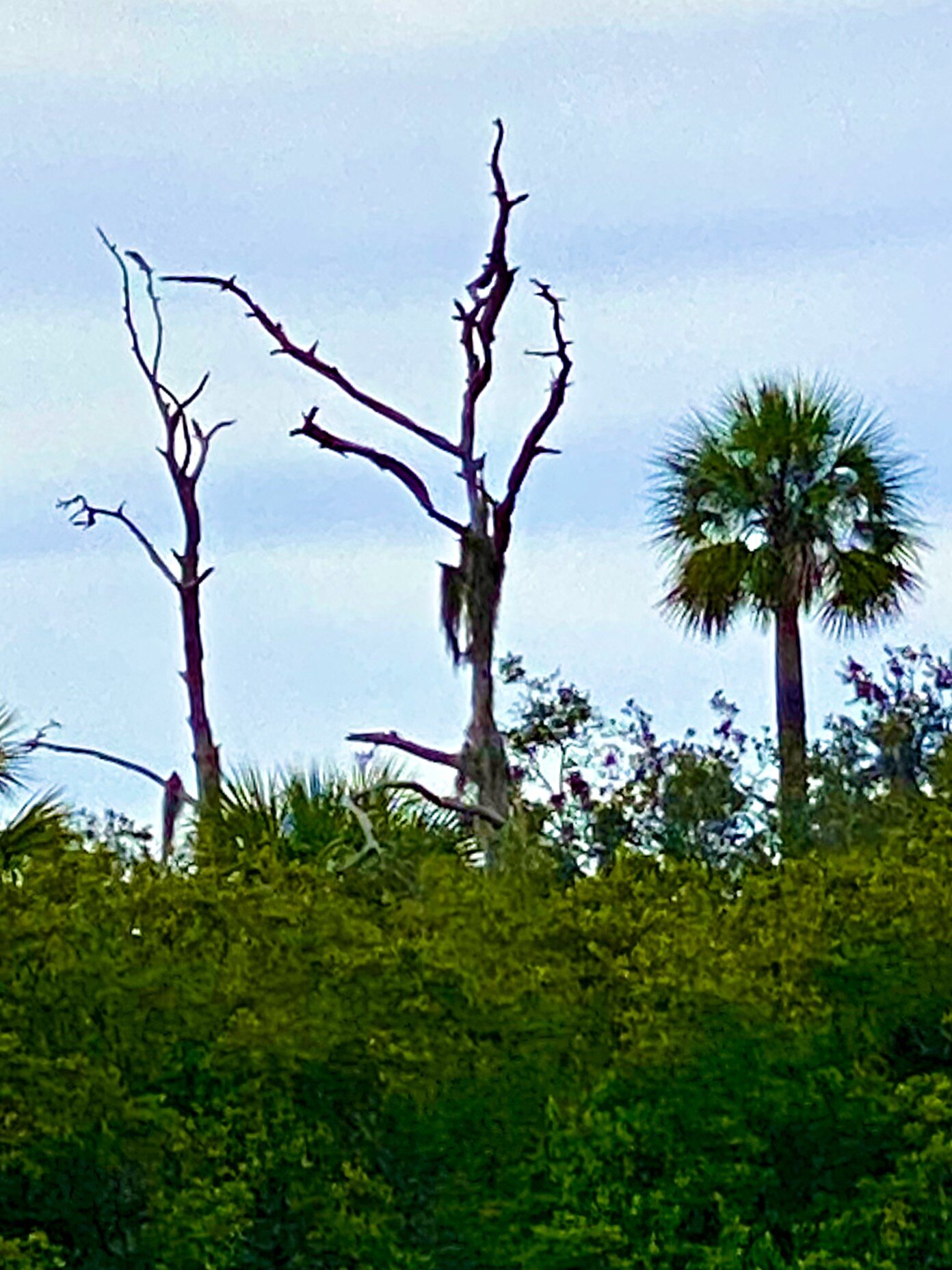
Shaped by the coast
Wind, salt and water leave their history on every exposed tree. The weathered trunks along the marsh edge show how dynamic this seemingly quiet shoreline really is.
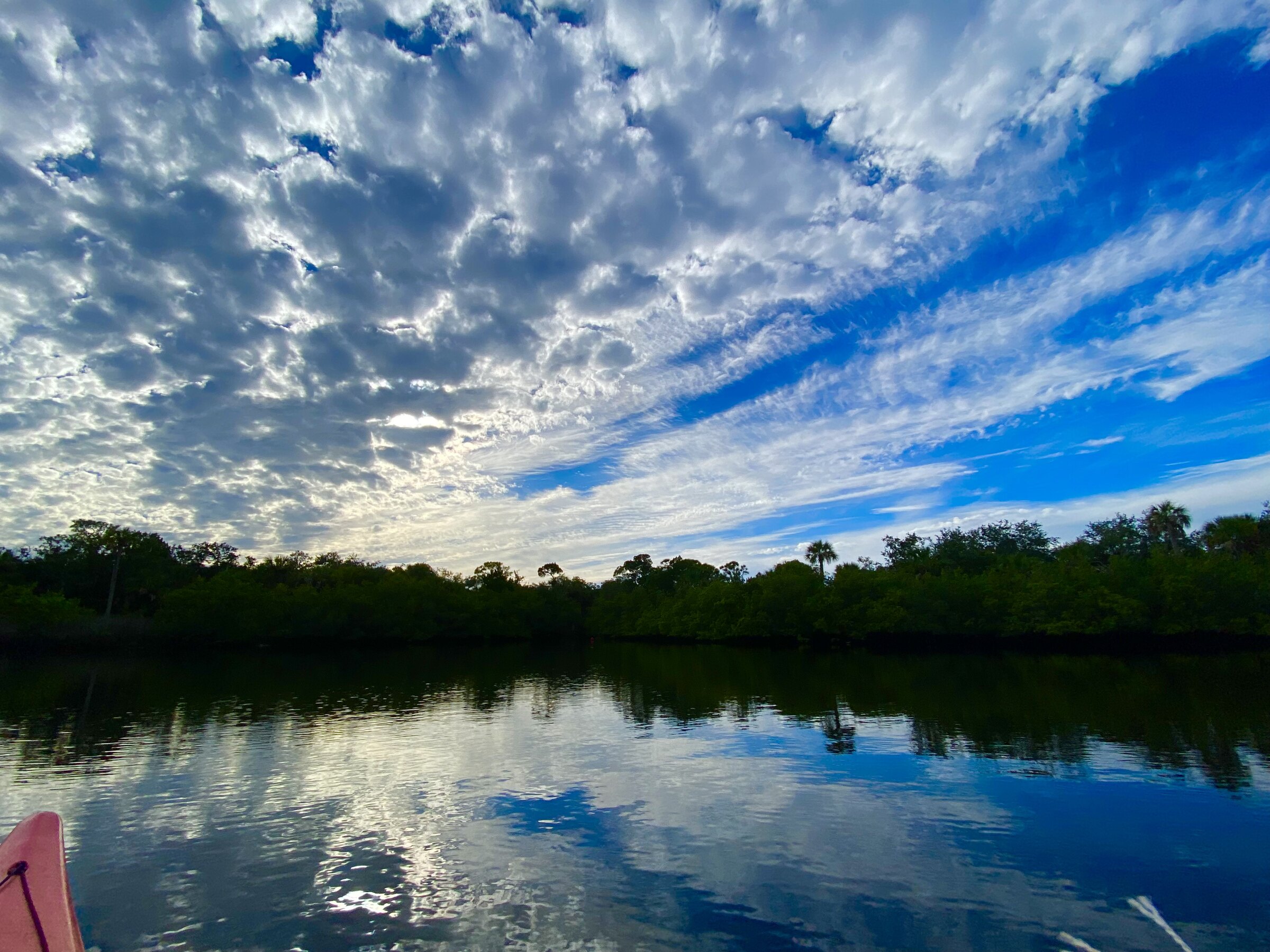
November light
The clouds kept rearranging themselves over the water. In the clean late-autumn light, even a simple line of marsh grass and mangroves became a wide Florida landscape.
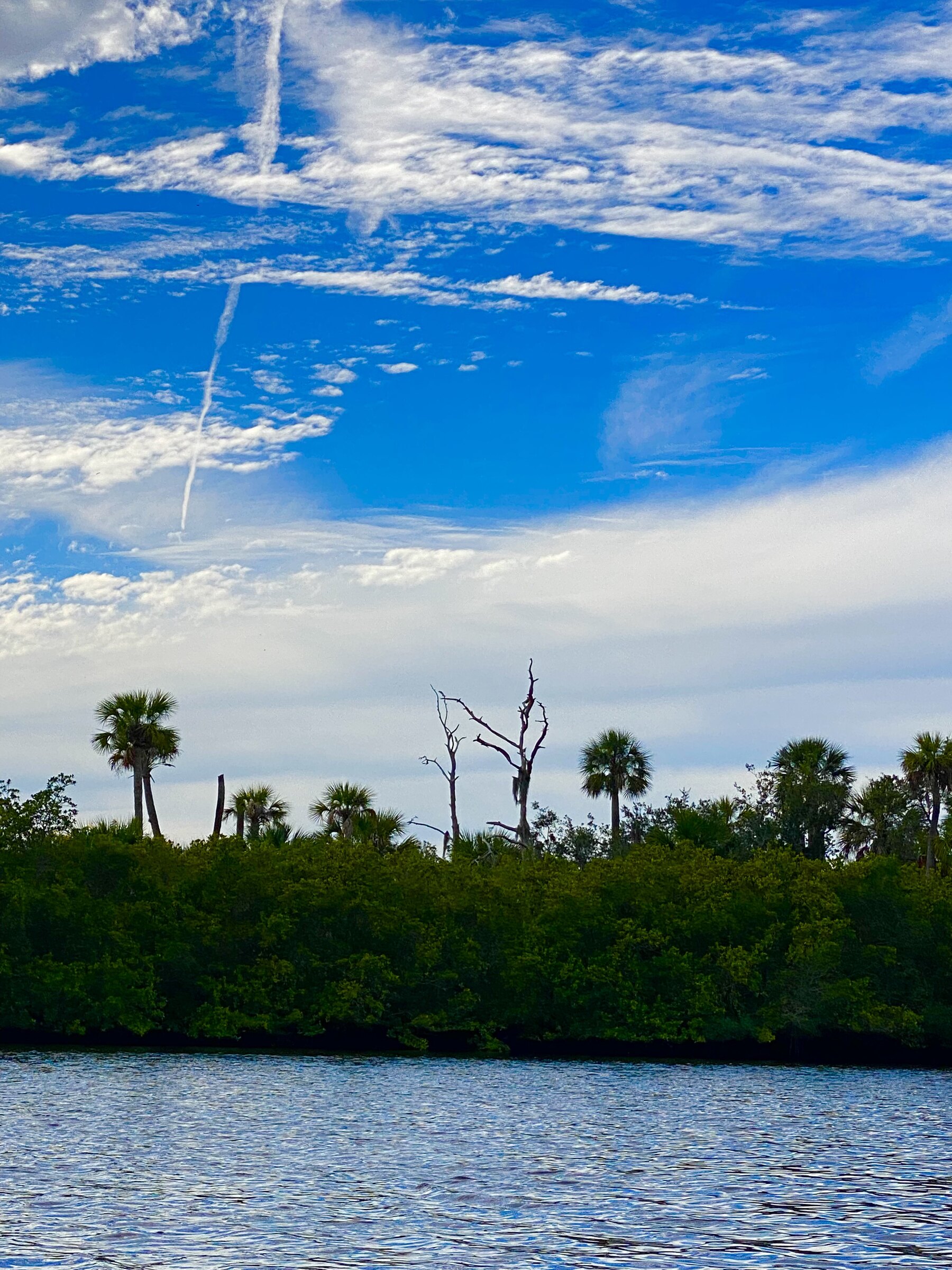
Where marsh meets upland
Cabbage palms beyond the mangroves mark slightly higher ground. Werner-Boyce protects more than water: coastal hammocks and uplands support another community of Florida plants and animals.
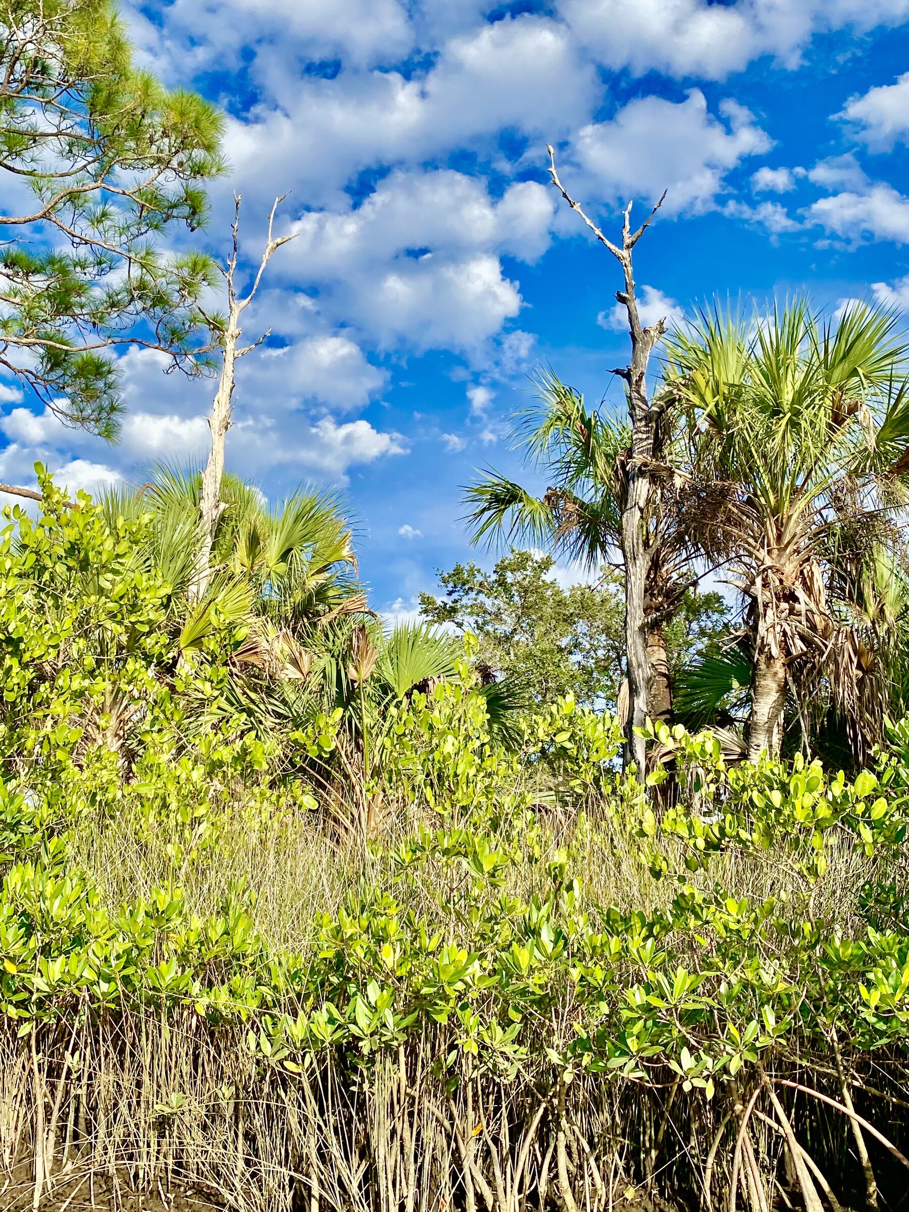
Palms above the tide
Sabal palms rise where the ground is just high enough to escape regular tidal flooding. From the kayak, those subtle changes in elevation make the park's different habitats easy to read.
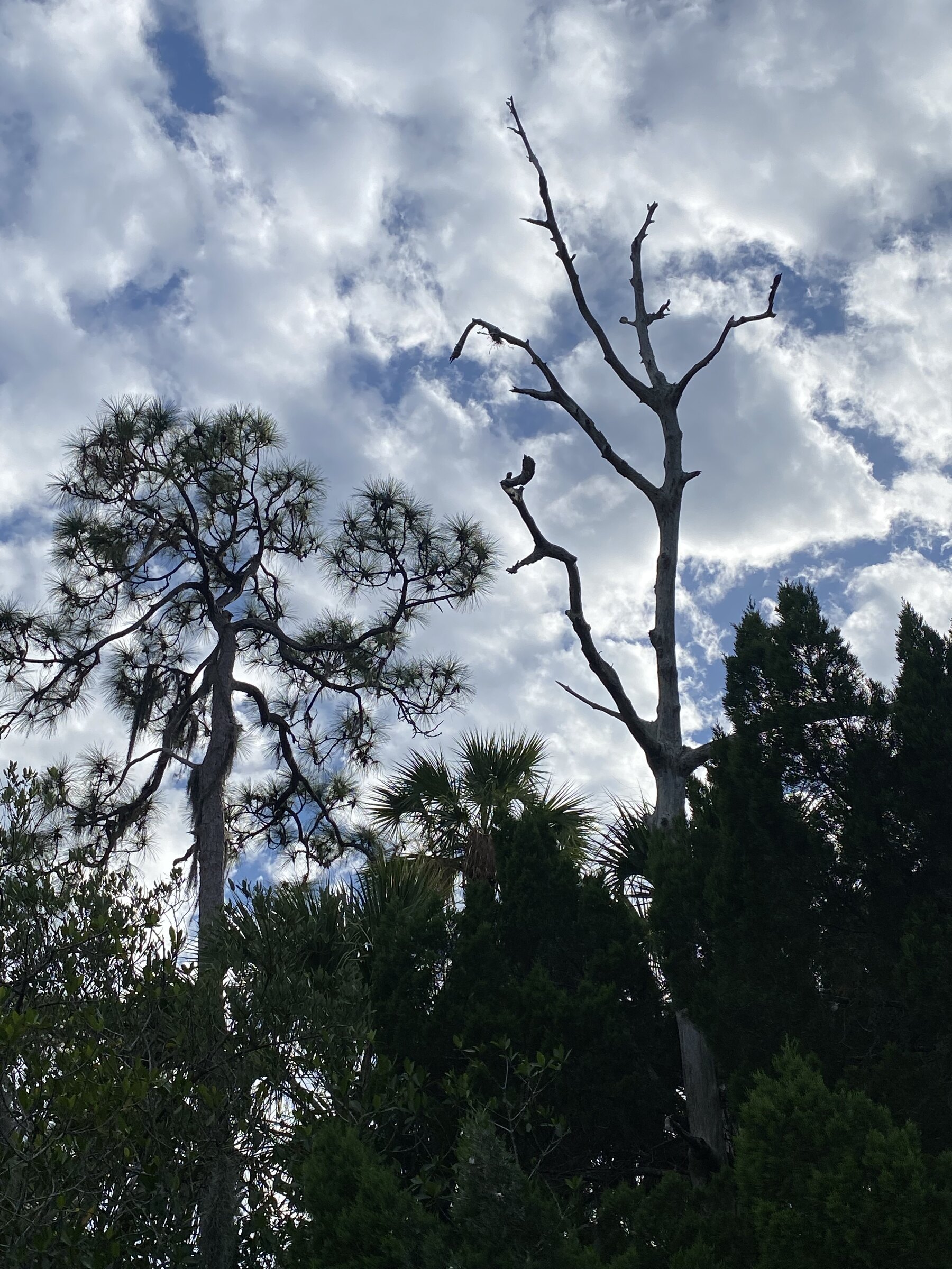
The wild edge
Old trees, mangroves and marsh grass overlap at the water's edge. It feels untended and wonderfully natural, especially considering how close the park is to the busy highway.
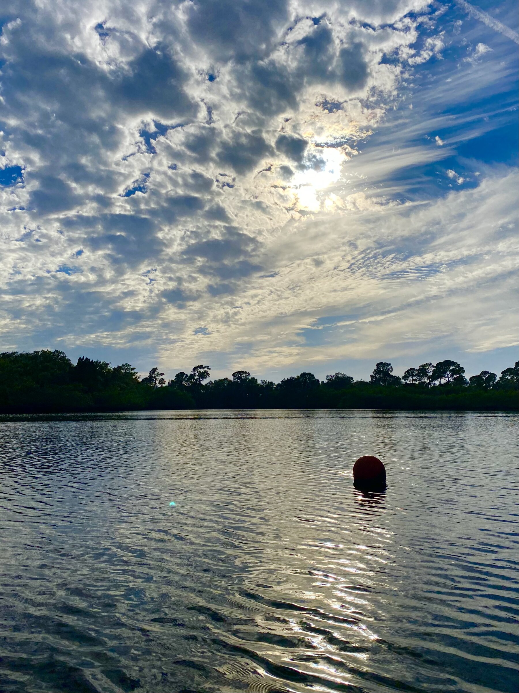
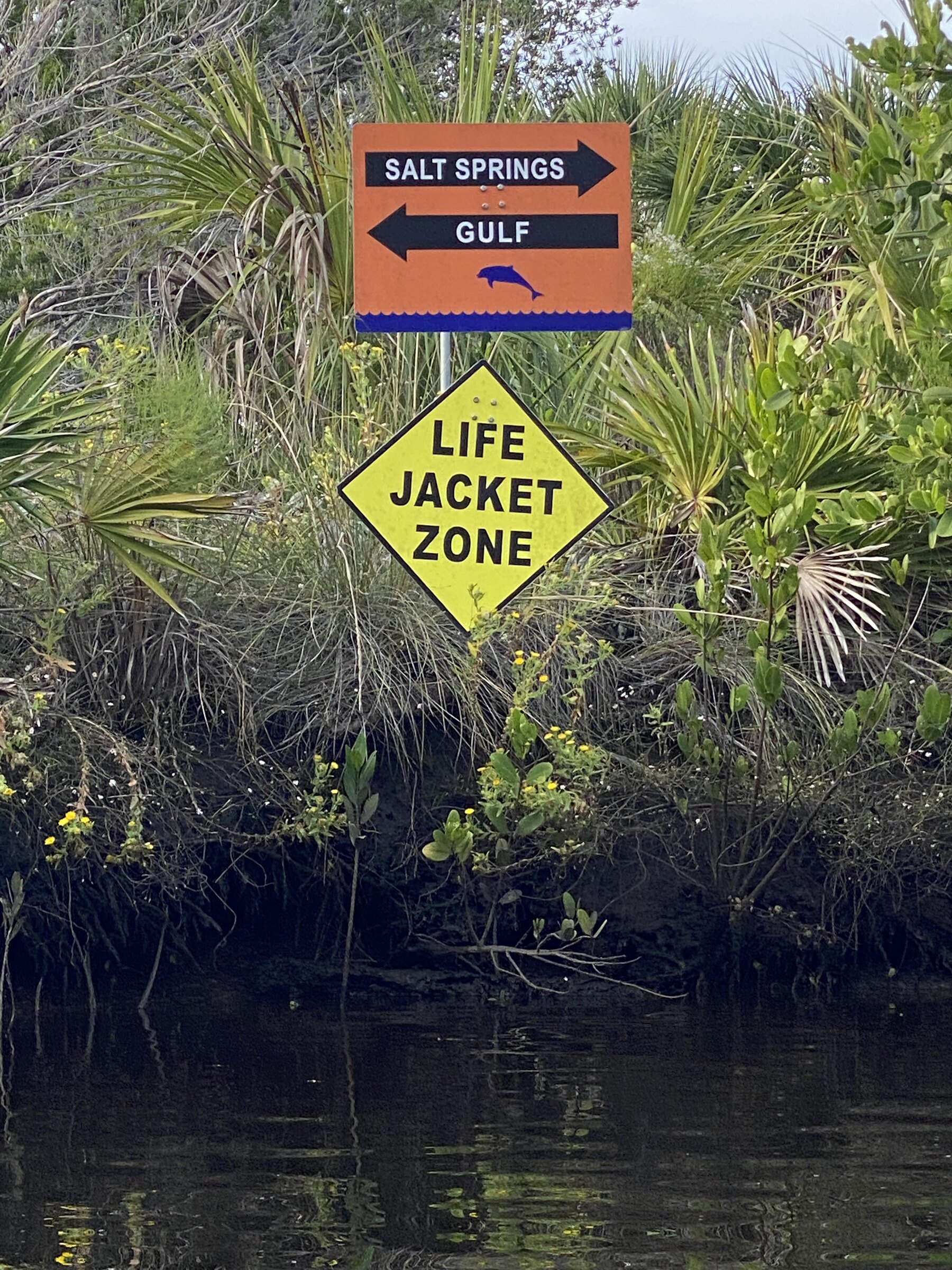
Approaching Salt Spring
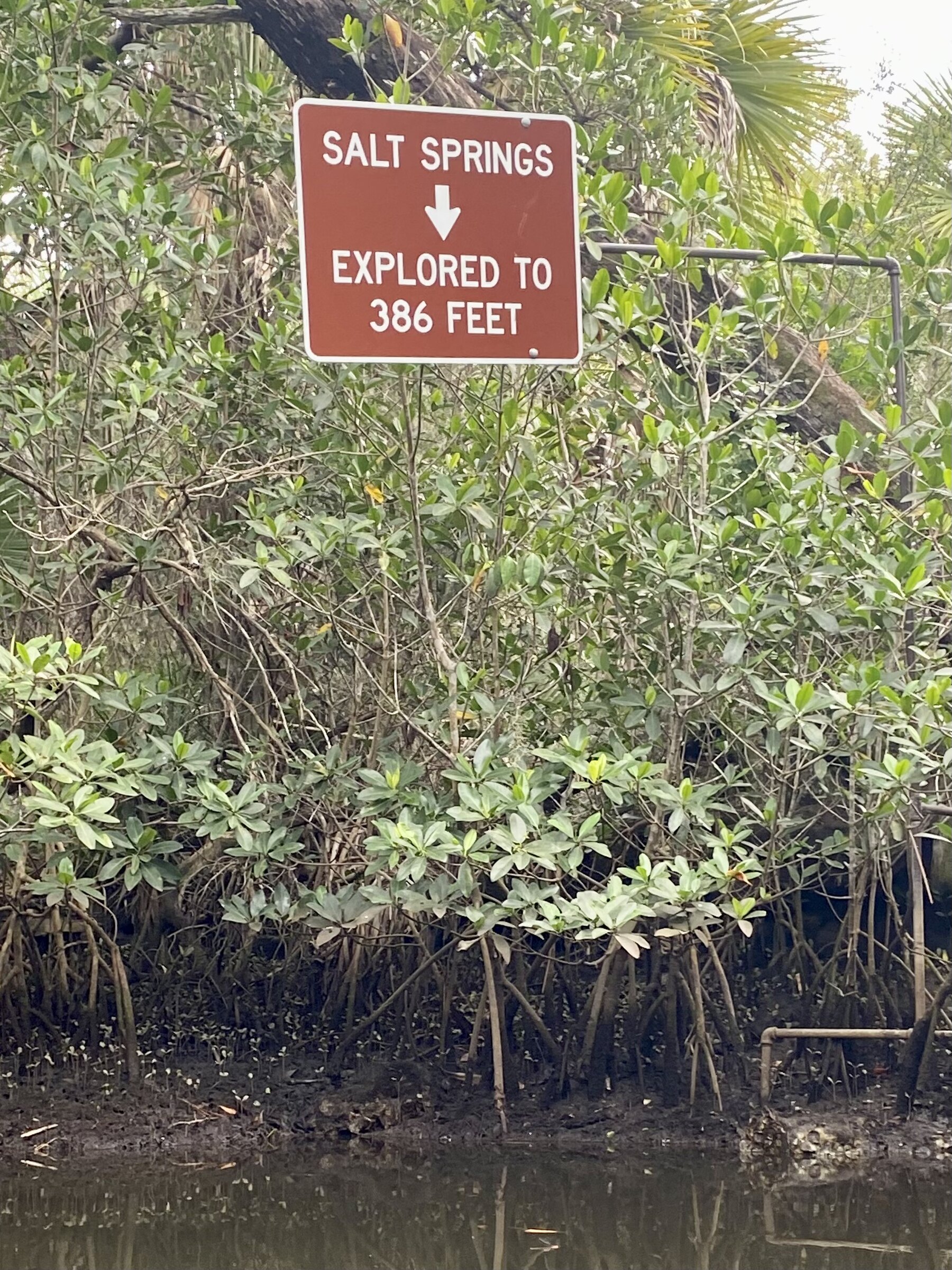
A small marker identifies one of the park's most unusual natural features. At the surface, the spring blends quietly into the surrounding basin and gives little hint of what lies below.
The park's hidden depth
The Salt Spring looks modest from a kayak, but the park sign notes that it has been explored to a depth of 351 feet. That startling depth beneath such a quiet surface makes this landscape especially unusual.
Over the spring
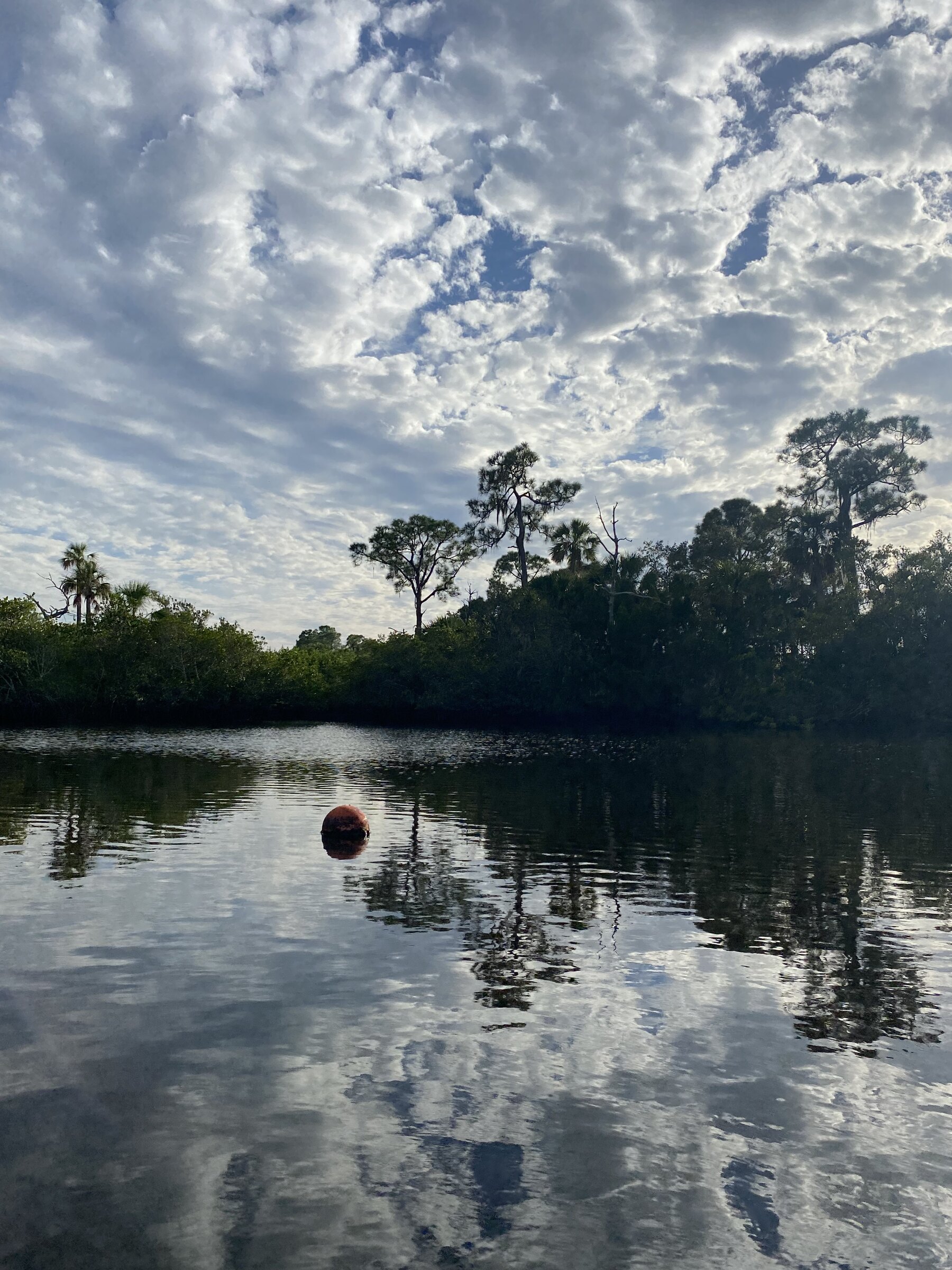
The basin is broad and calm, with no dramatic blue boil to advertise the deep geological opening underneath. Its dark water and secluded shoreline make it feel like a quiet marsh pond.
Worth remembering: this is a tidal coastal paddle. Water depth, current and the ease of passing through shallow creeks can change considerably with the tide.
The best view was everywhere
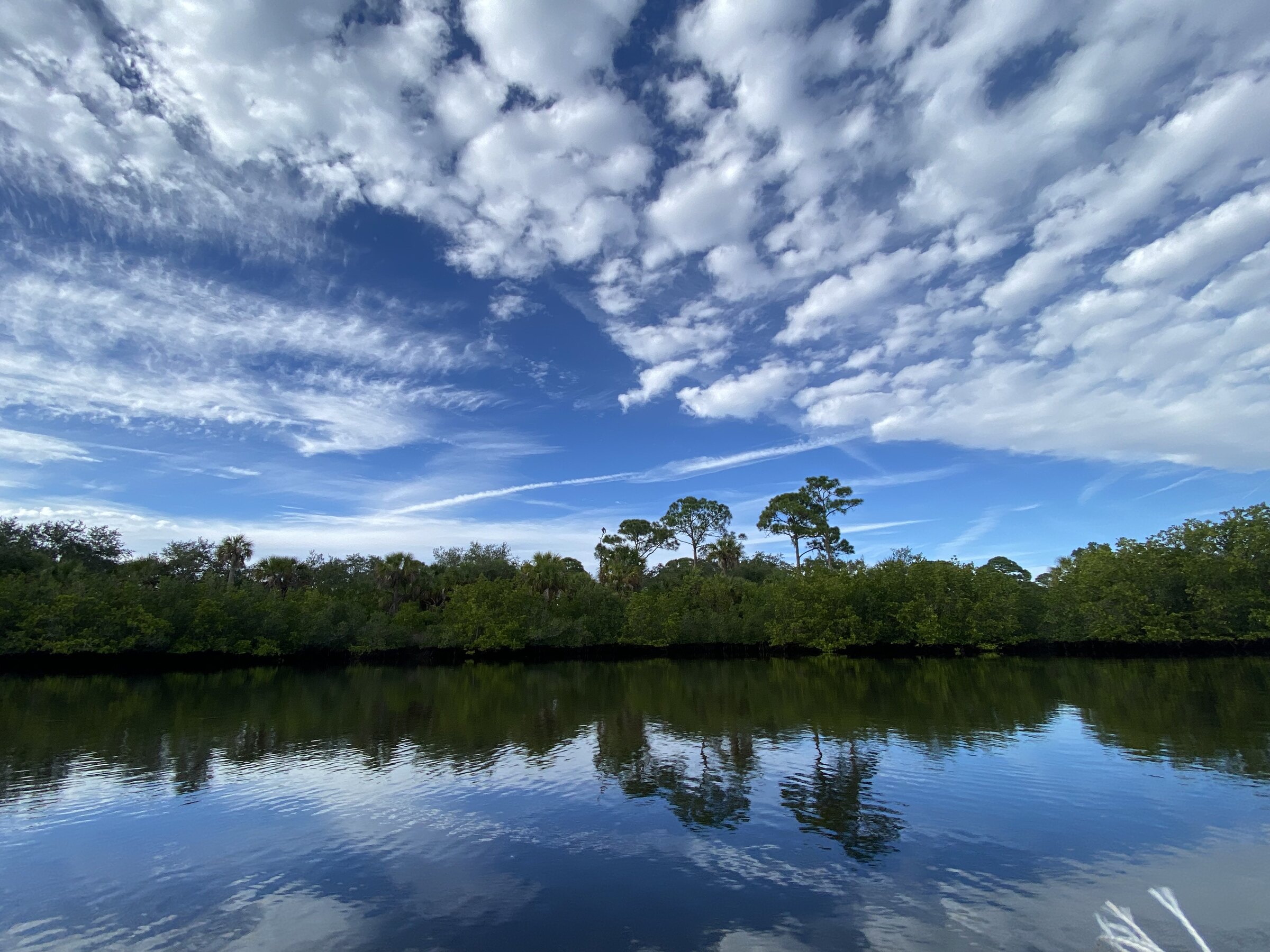
Some paddles are remembered for wildlife or difficult water. This one was about light. The cloud formations changed by the minute while the smooth surface turned every view into a nearly symmetrical landscape.
Back toward narrower water
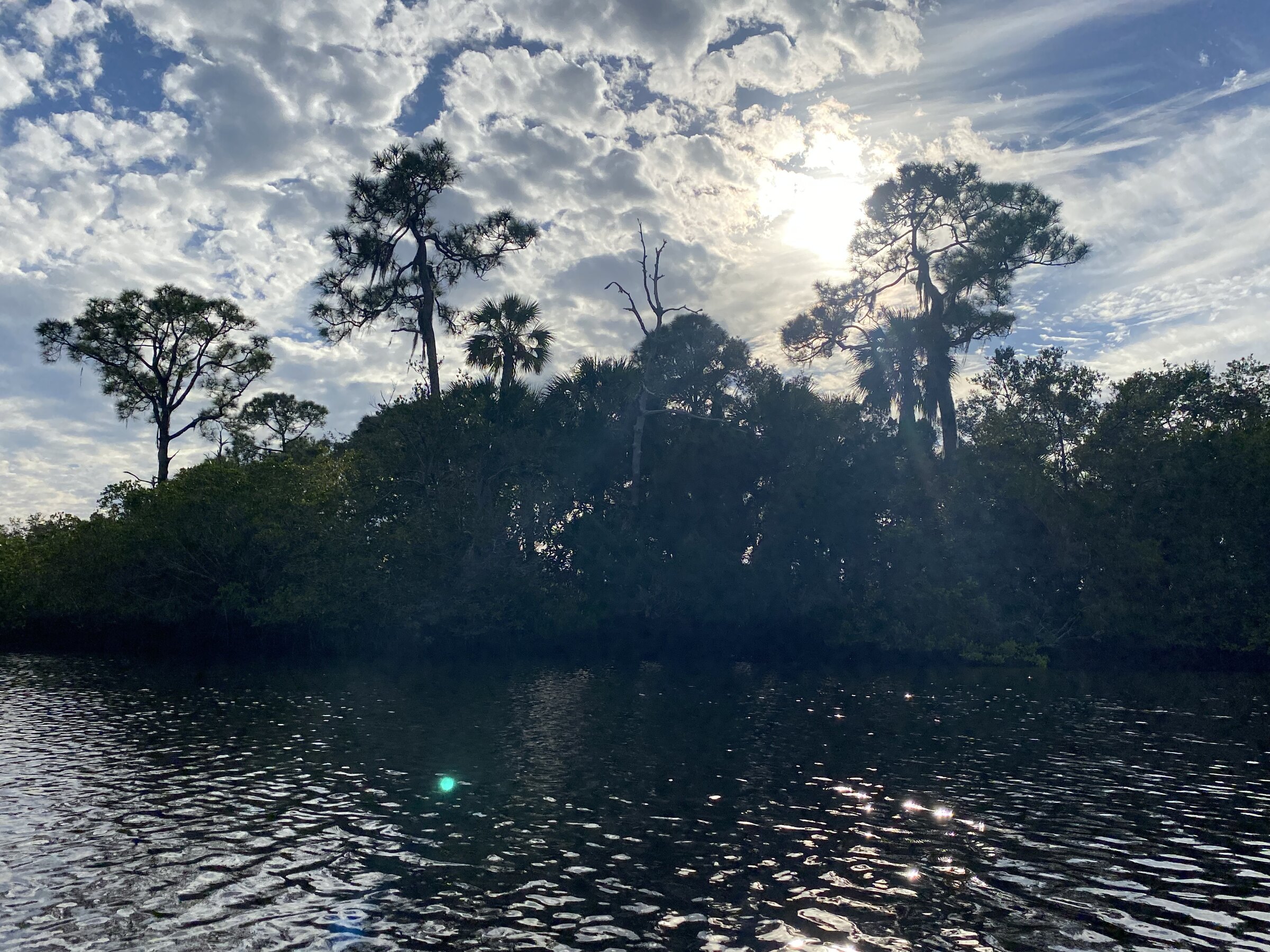
Leaving the broad marsh, I followed a darker waterway into thicker vegetation. The change was immediate: less sky, cooler shade and a stronger feeling of being enclosed by wild Florida.
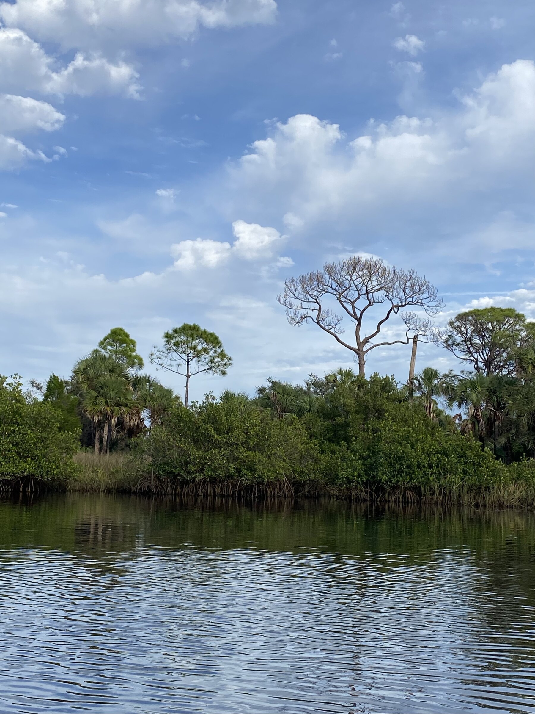
A layered coastal landscape
The shoreline here mixes mangrove fringe, saw palmetto, cabbage palms and hardwoods. Small changes in elevation create a surprising variety of habitats within a compact park.
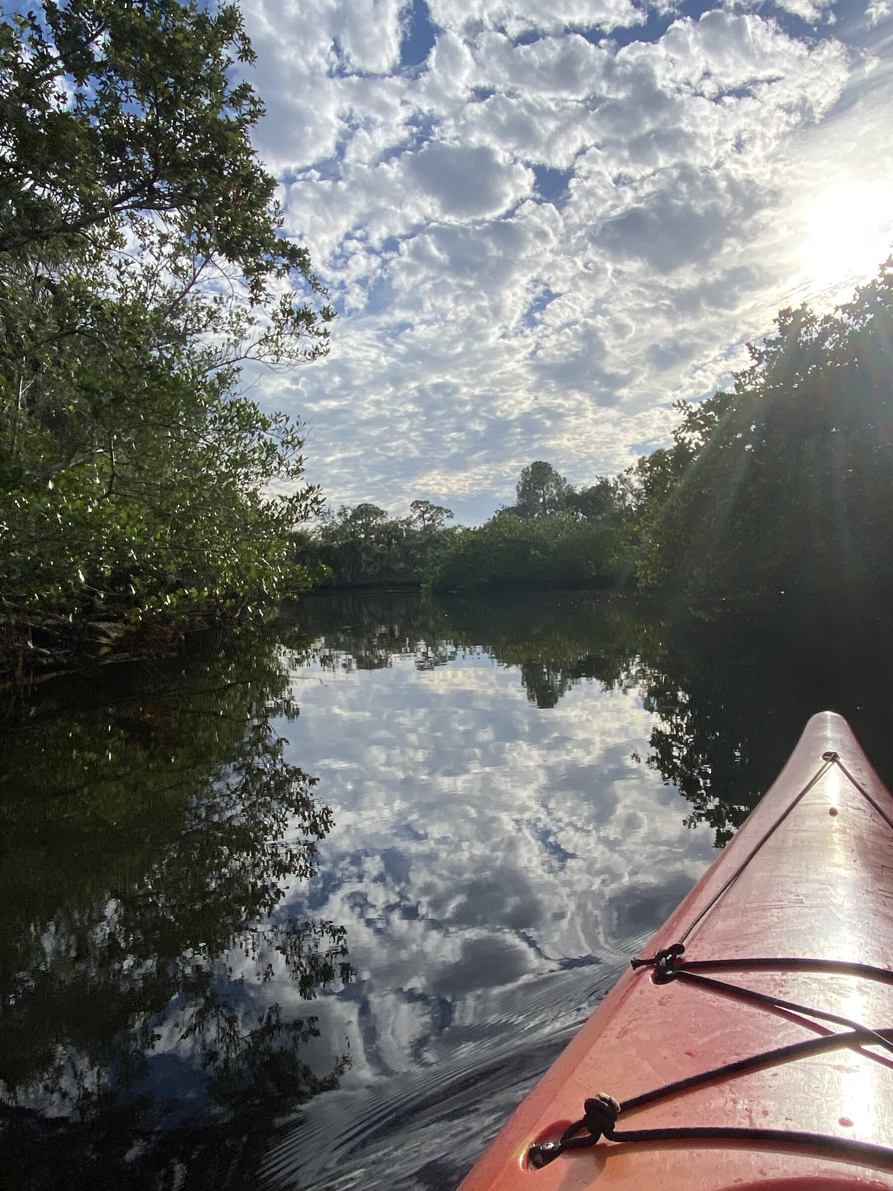
Into the creek
The bow slipped into a winding creek where overhanging limbs and close vegetation replaced the wide horizon. These passages are where a kayak is perfectly at home—quiet, maneuverable and able to explore without disturbing the shoreline.
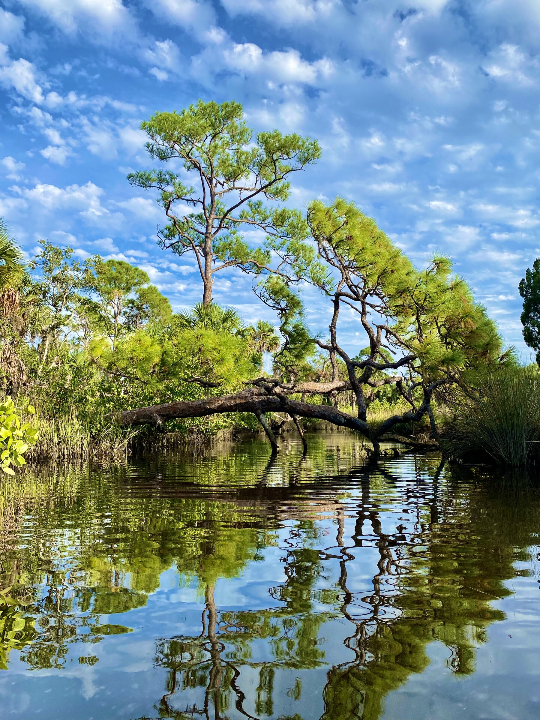
A natural arch
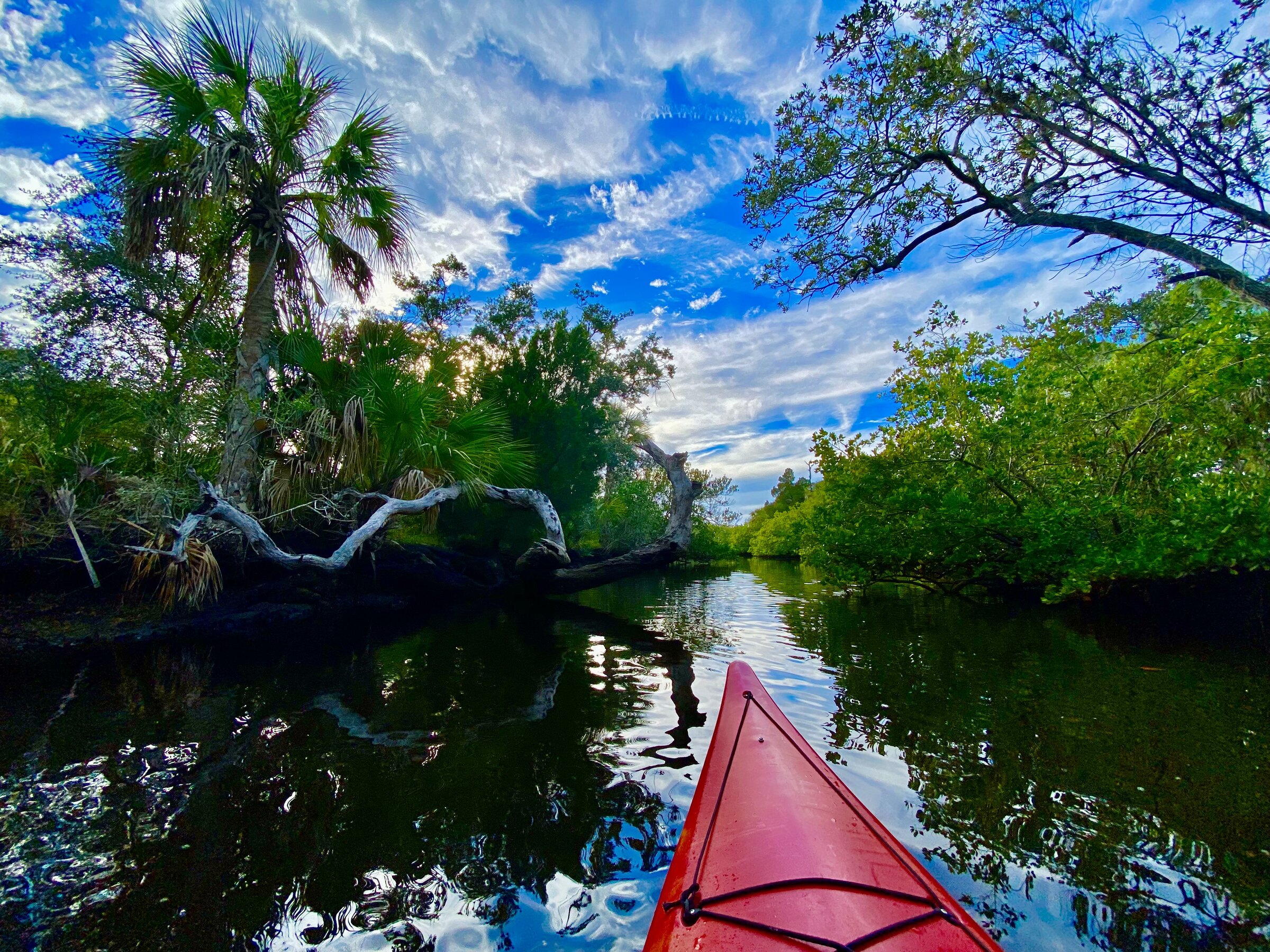
A sprawling oak leaned over the creek, its lower limbs nearly touching their own reflections. The scene was completely different from the open salt marsh, though only a short paddle away.
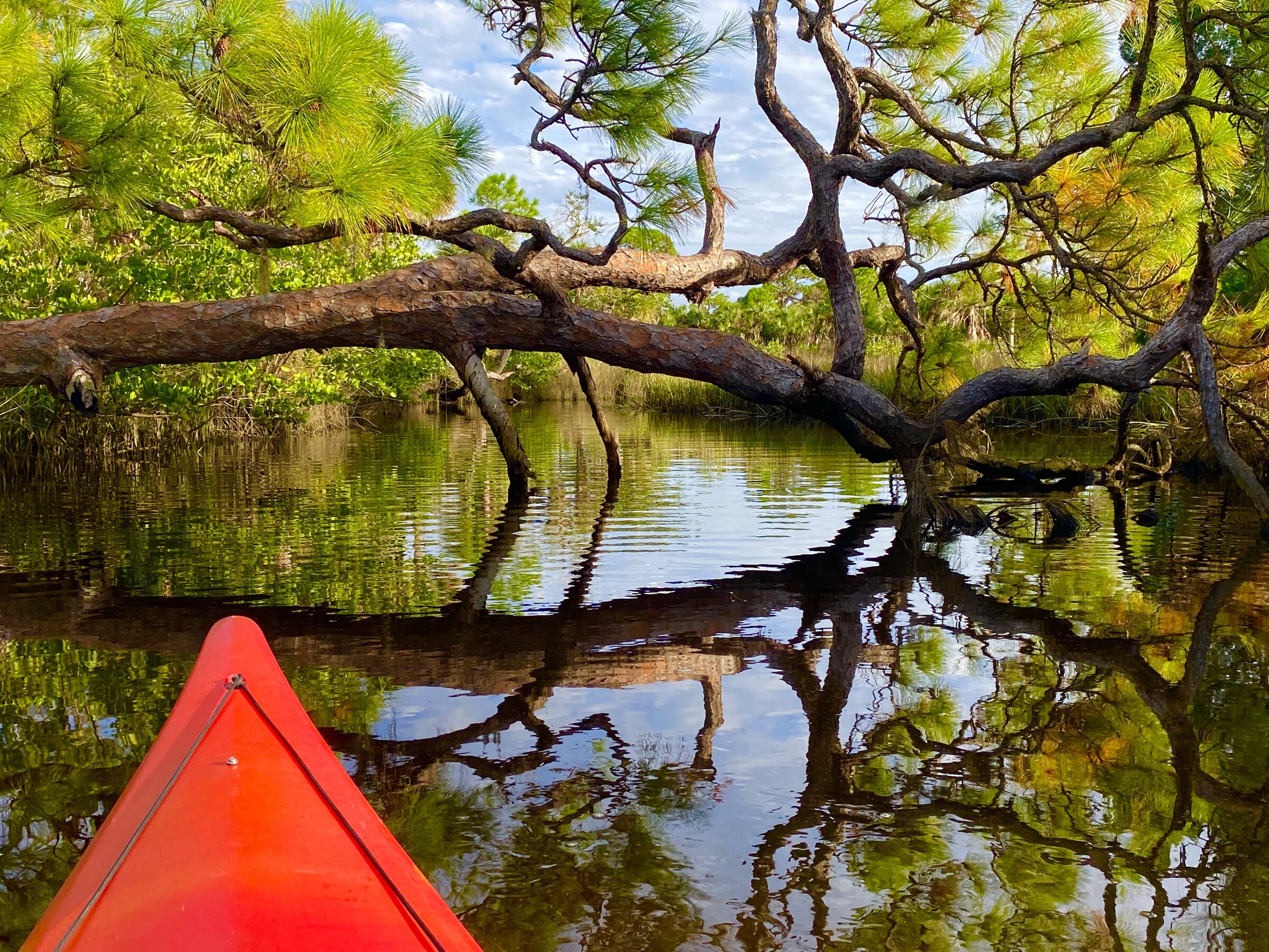
Under the canopy
Branches bent low across the channel and transformed the route into a green tunnel. Ducking beneath them was a fitting contrast to the immense sky that had dominated the open marsh.
The final mangrove passage
The return route narrowed once more between mangroves. After hours of open views, mirrored clouds and shaded creeks, this enclosed passage guided me naturally back toward the launch.
Late light on the return
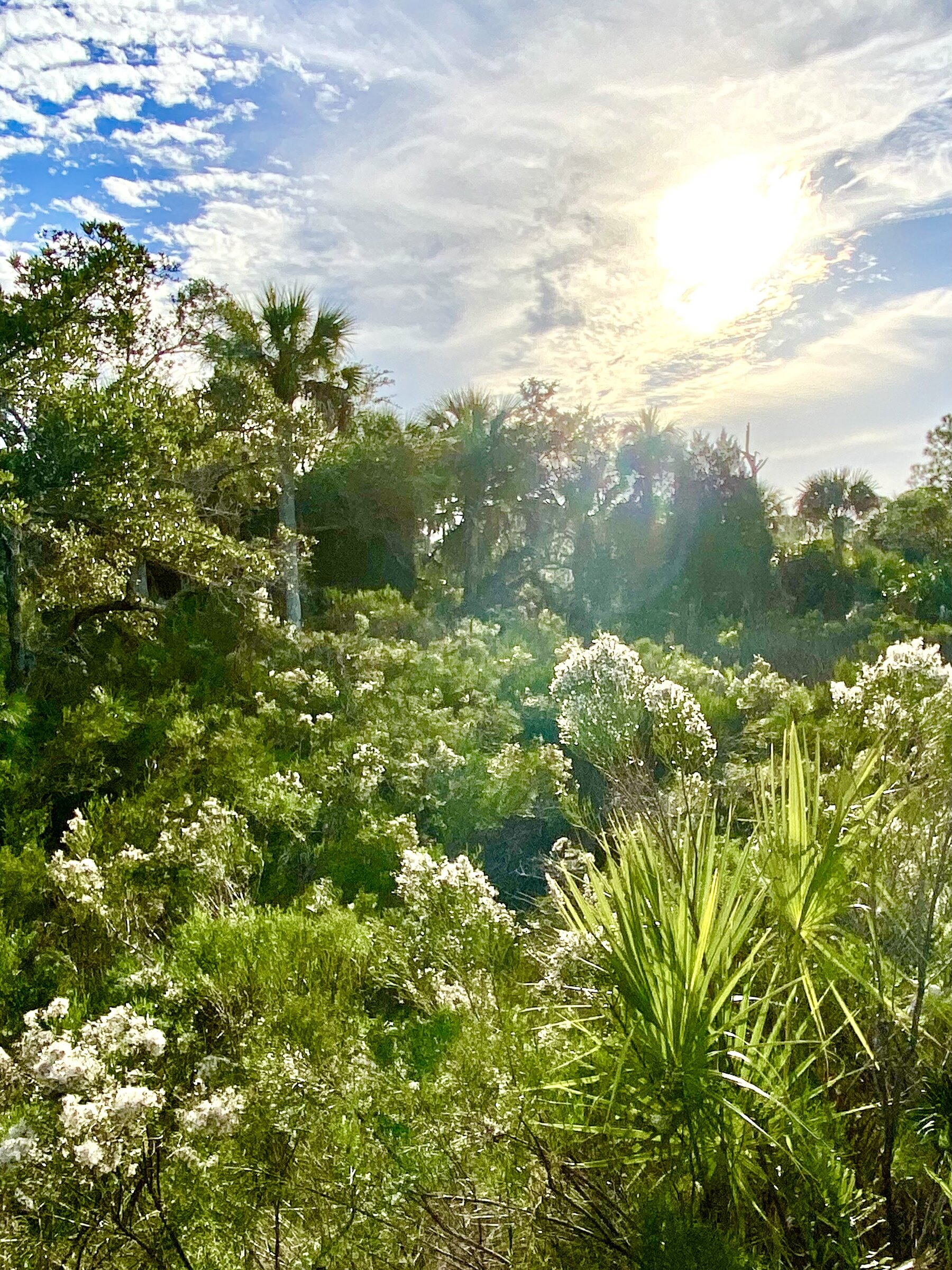
The sun had dropped lower by the time I turned toward the launch. Warm light reached through the vegetation and gave the final part of the paddle a different mood from the bright blue morning.
A reminder at the park
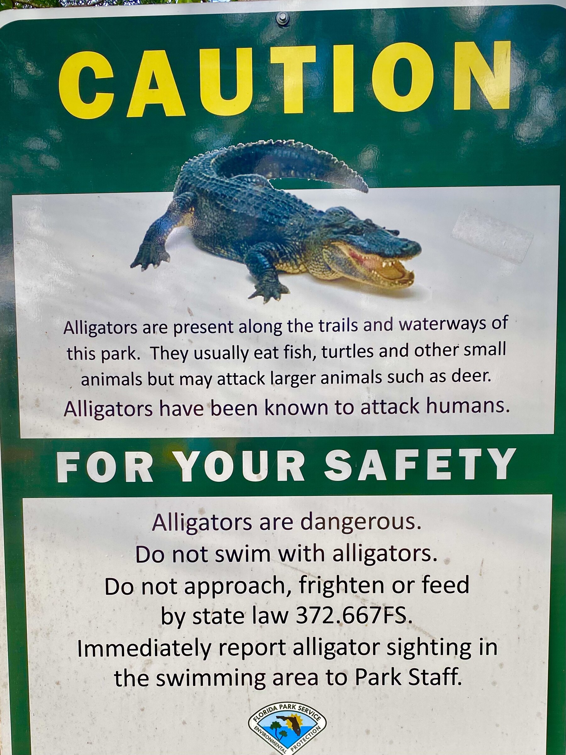
The alligator notice is a familiar reminder that this remains wild Florida. Keeping a respectful distance, never feeding wildlife and staying alert around the water are simple parts of visiting responsibly.
Back at Werner-Boyce
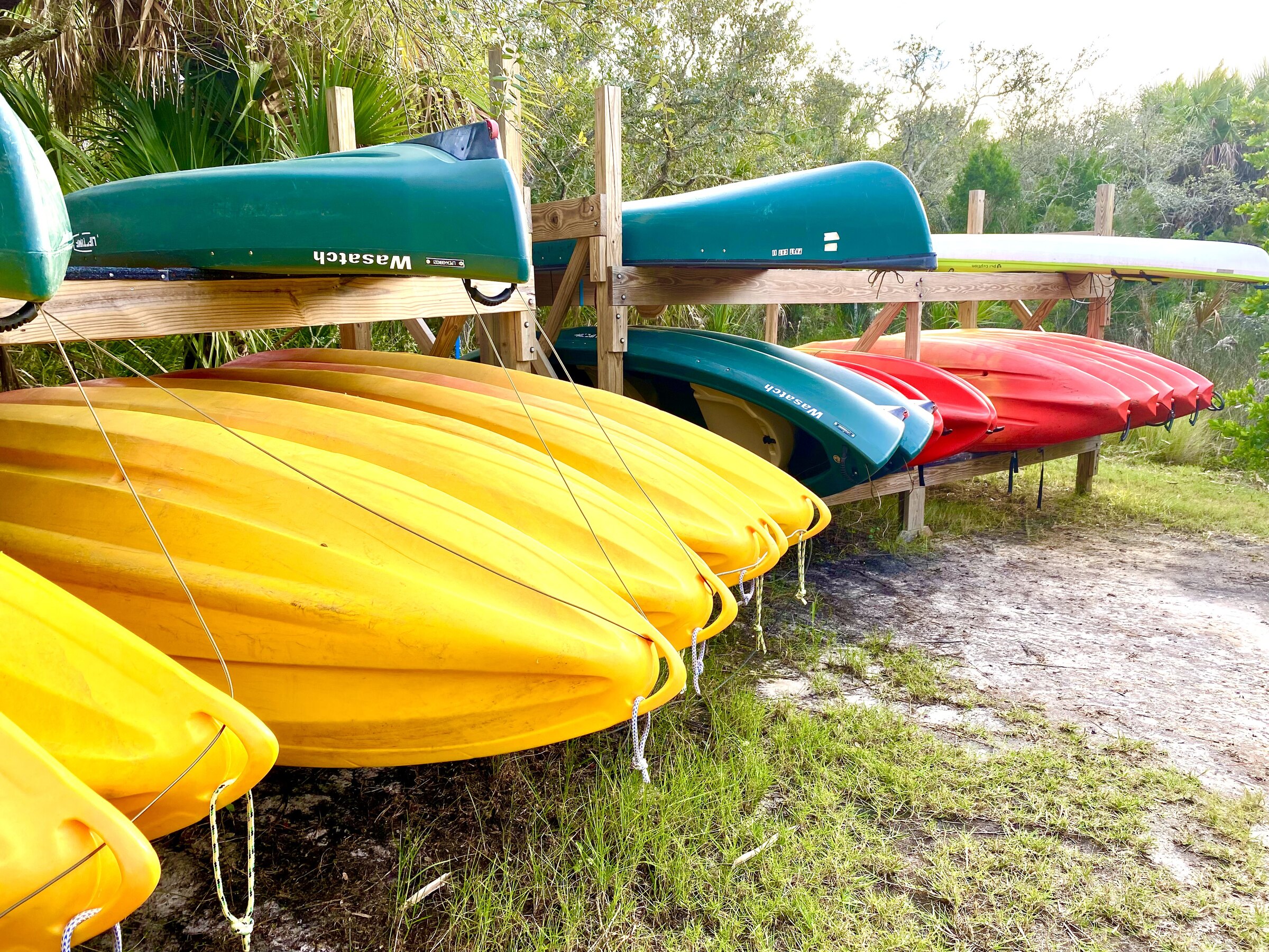
The stacked boats at the launch made a colorful ending to a remarkably quiet solo trip. Werner-Boyce is close to busy communities, but from a kayak its salt marsh still feels spacious, intricate and wonderfully removed.
A small park that opens into a big landscape
Werner-Boyce is a place best understood from the water. A kayak can move from a shaded creek to an open bay, from the deep Salt Spring to a mangrove island, and from the edge of U.S. 19 toward the Gulf—all in one unhurried paddle. On this calm November day, the route was less about reaching a destination than following the light and seeing where the next channel led.
Explore Werner-Boyce
Werner-Boyce Salt Springs State Park is in Port Richey on Florida's Gulf coast. Paddling offers the closest look at its spring, mangrove shoreline and tidal marsh.
Official park pageOpen location map