Tim Driskell’s Adventures
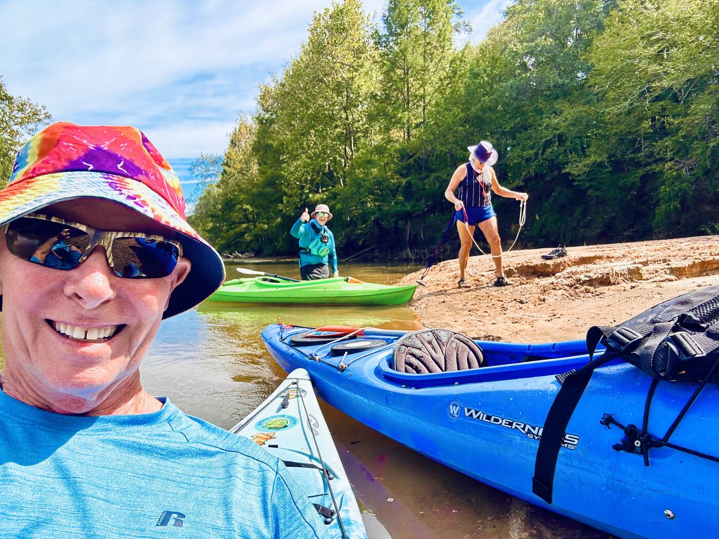
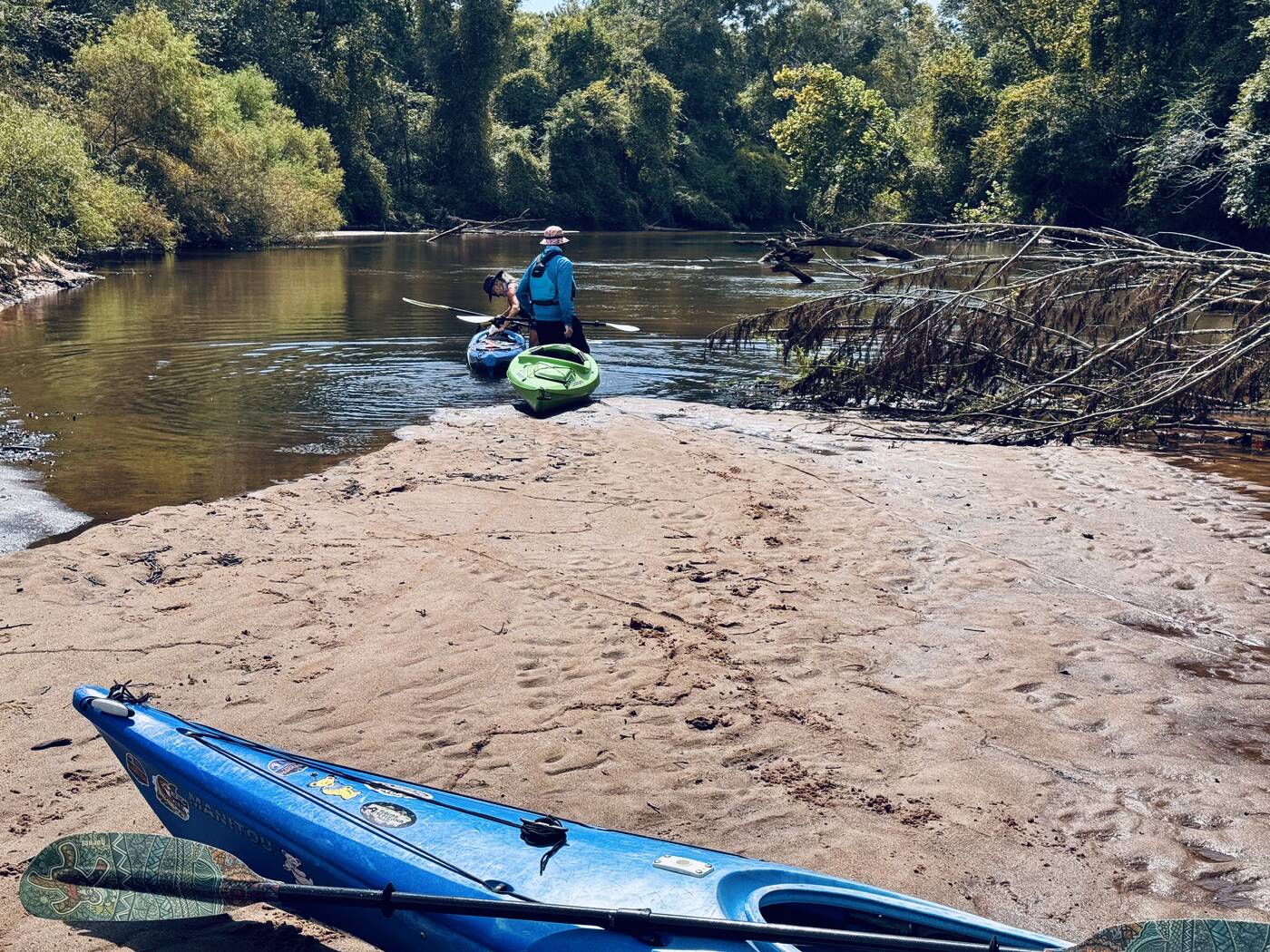
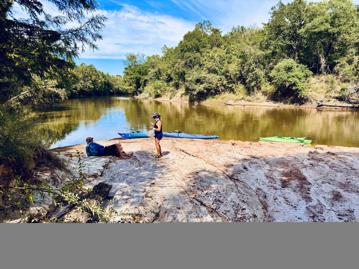
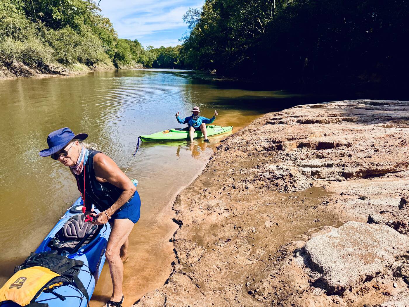
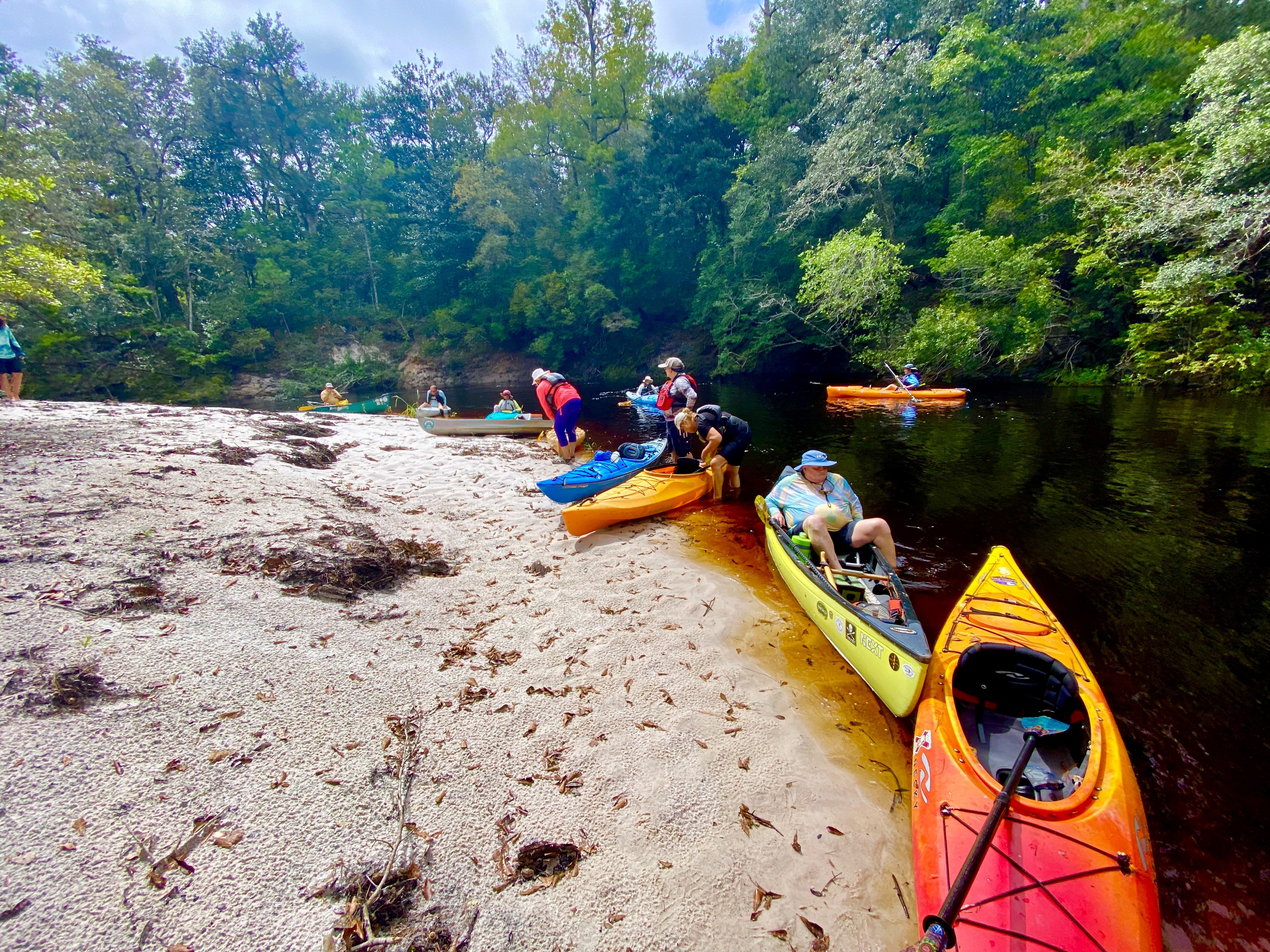
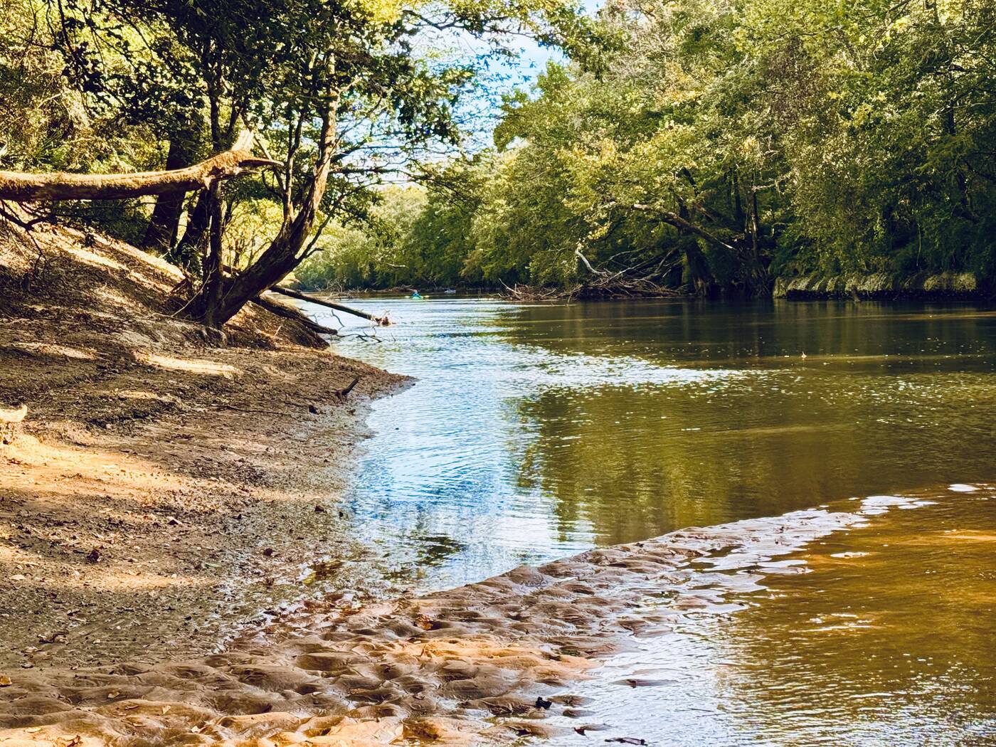
A sunlit sandy bend on the Choctawhatchee River
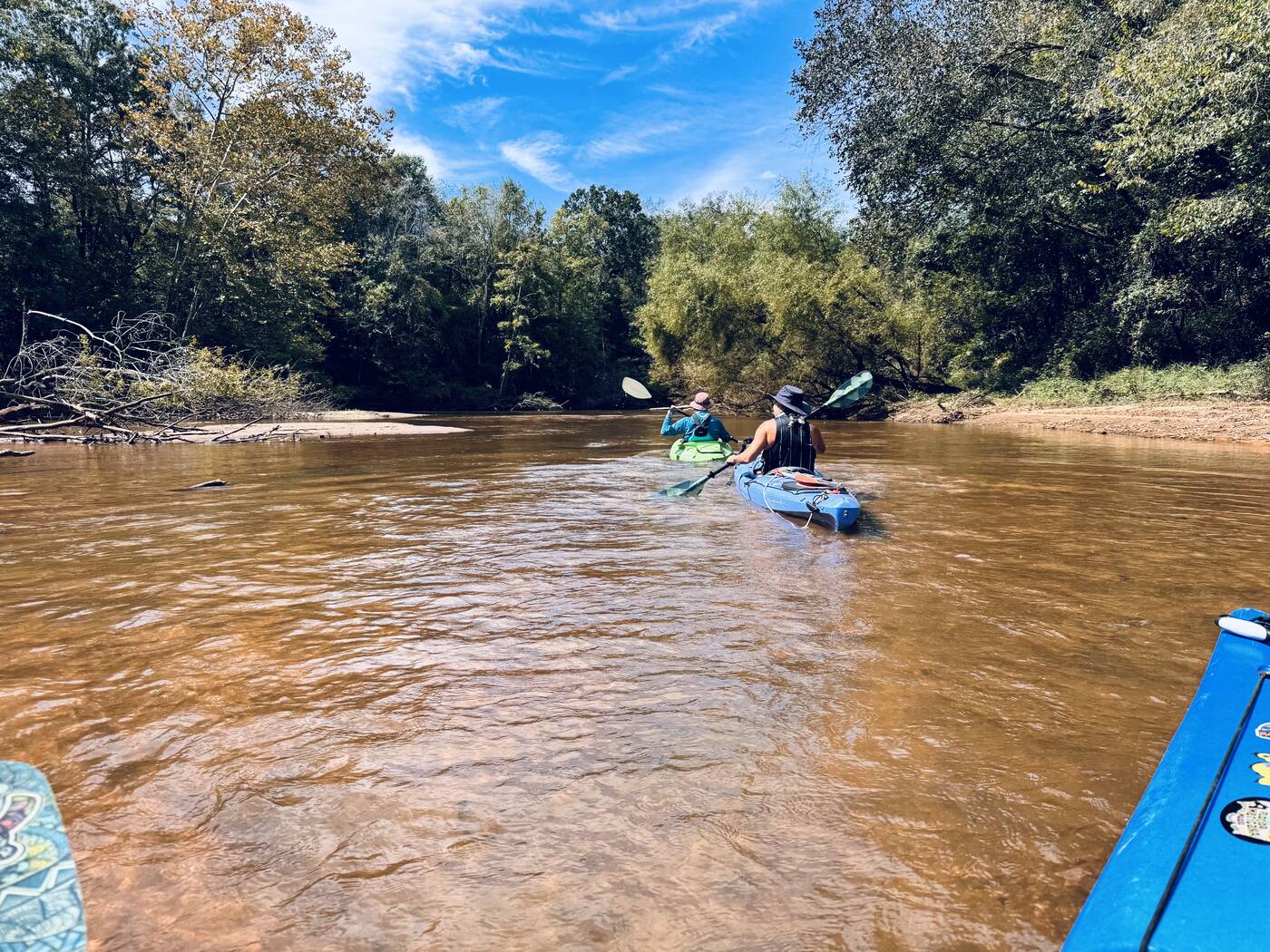
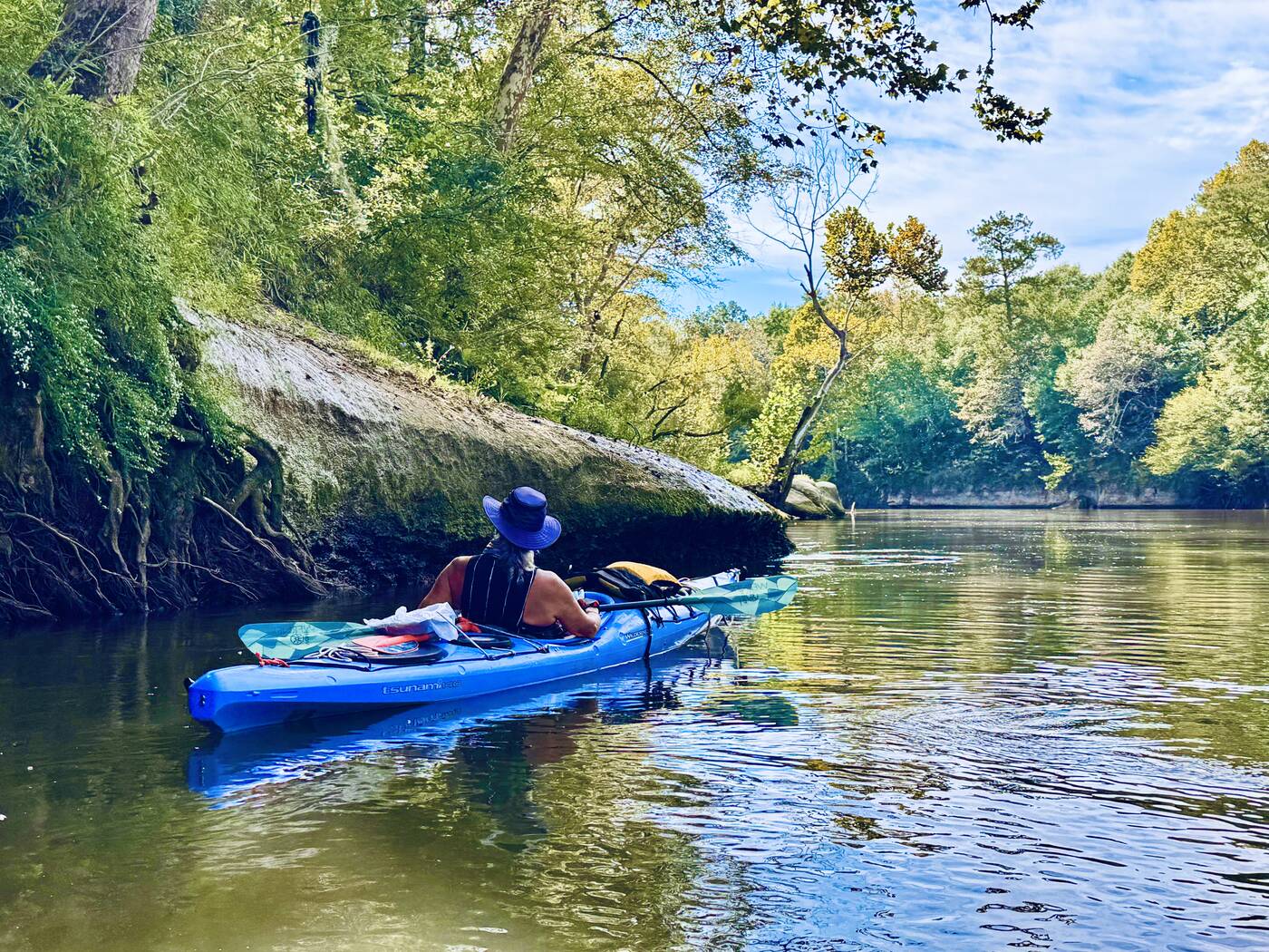
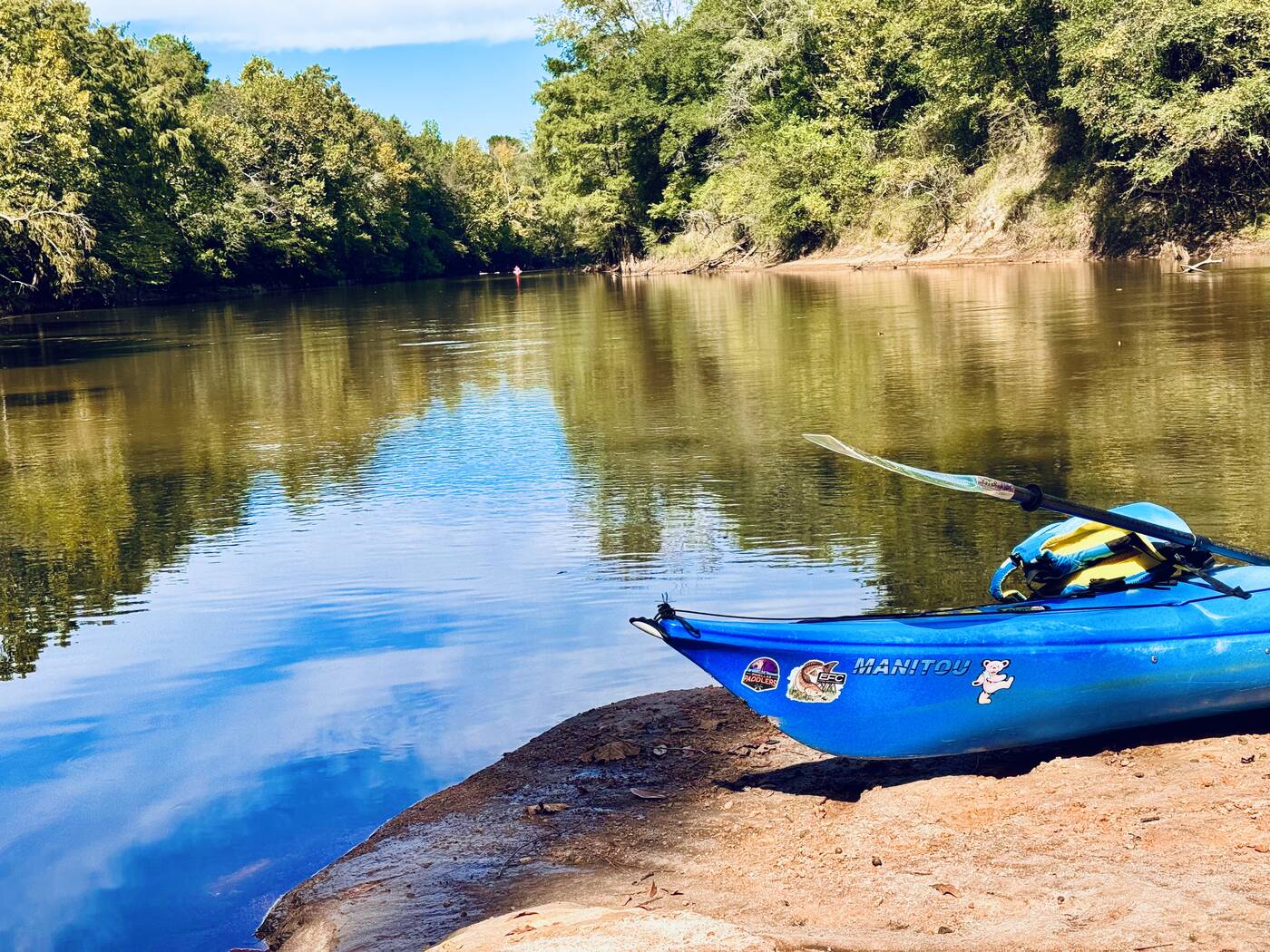
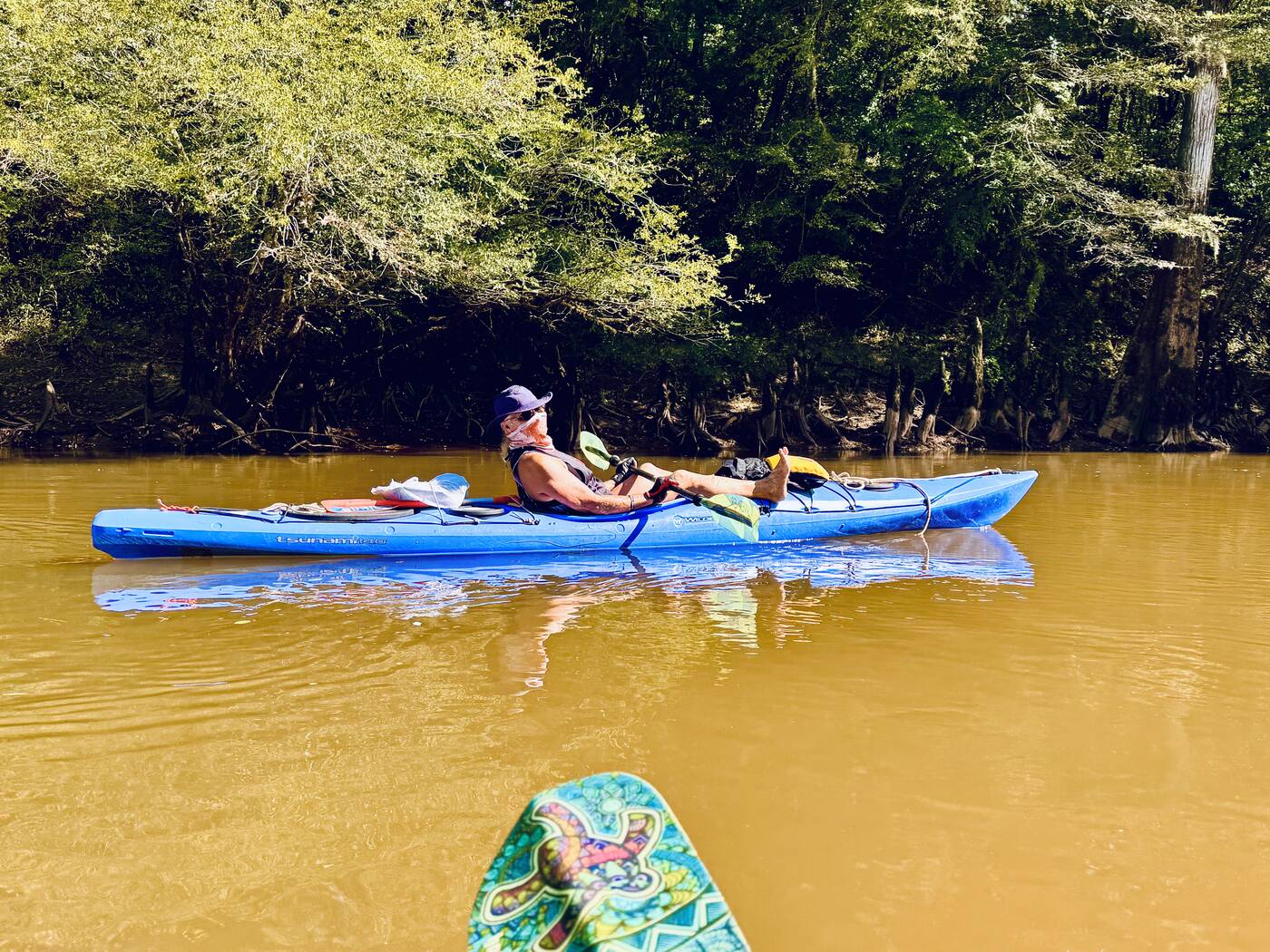
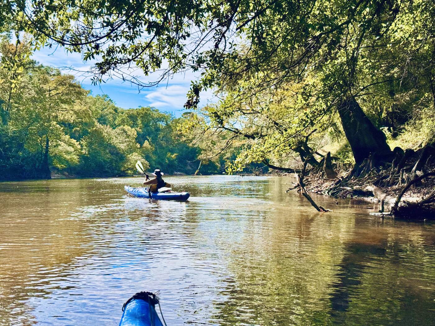
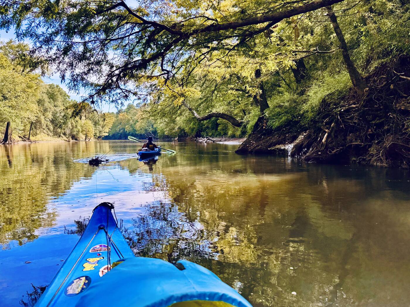
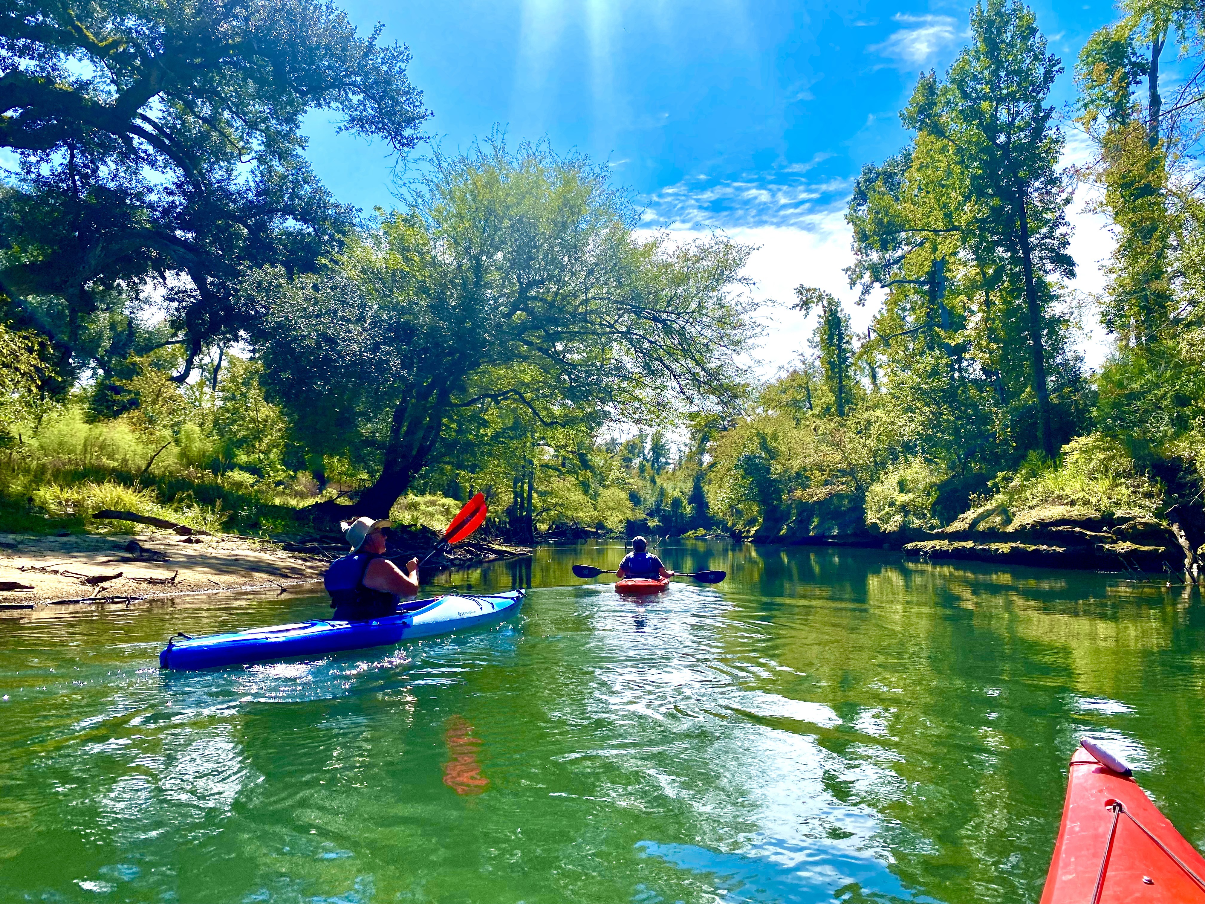
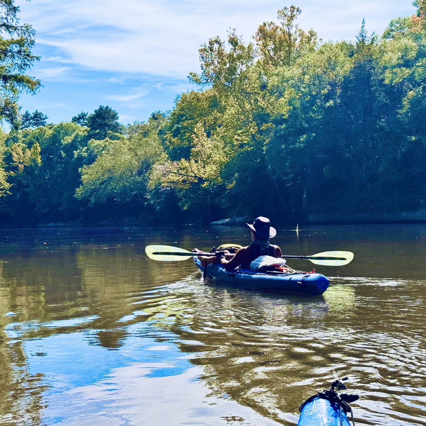
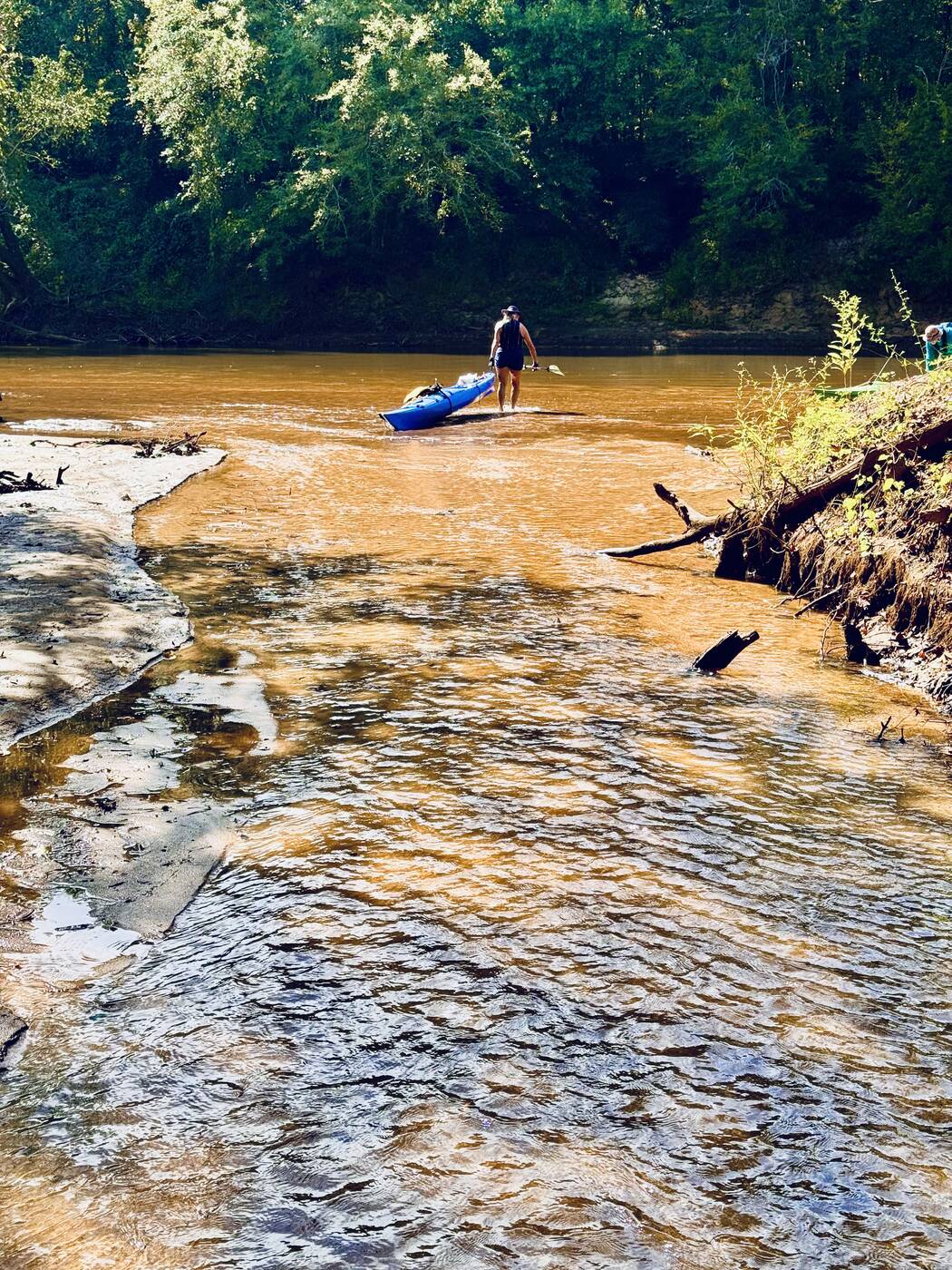
Ray paddling his blue kayak on the Choctawhatchee River
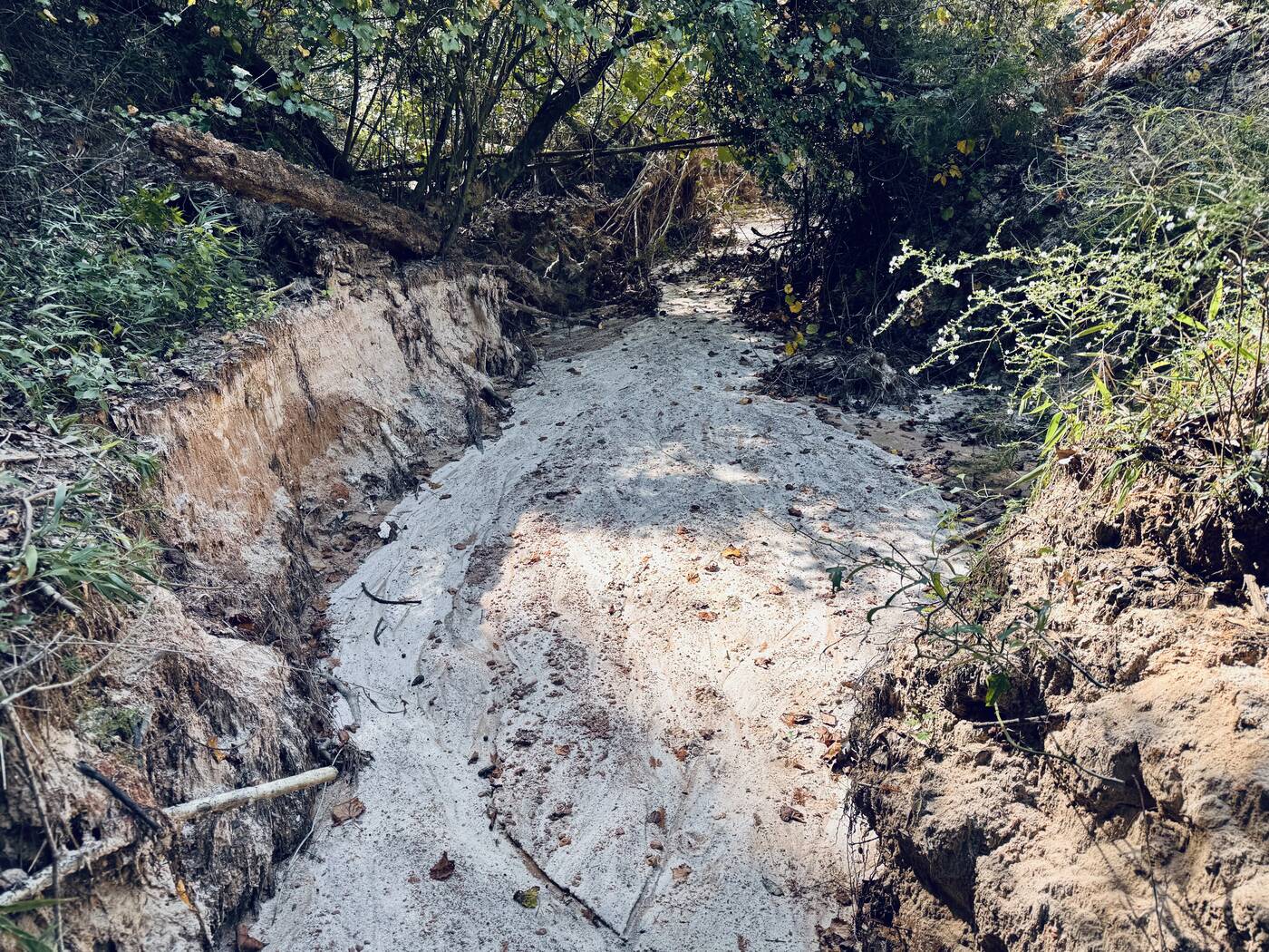
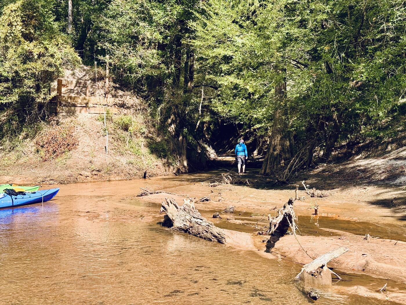
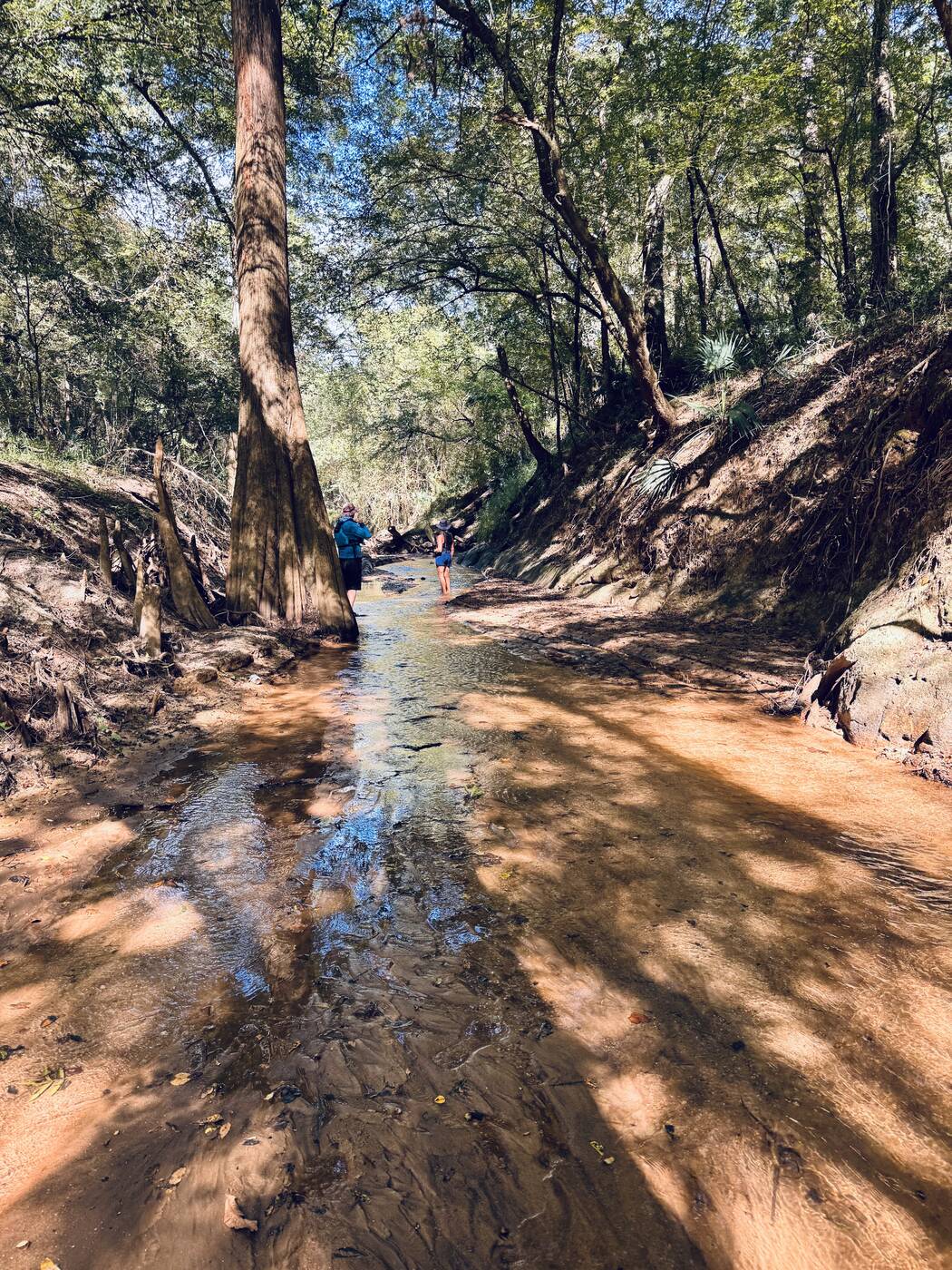
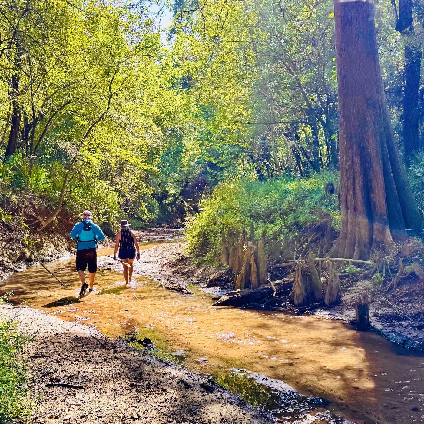
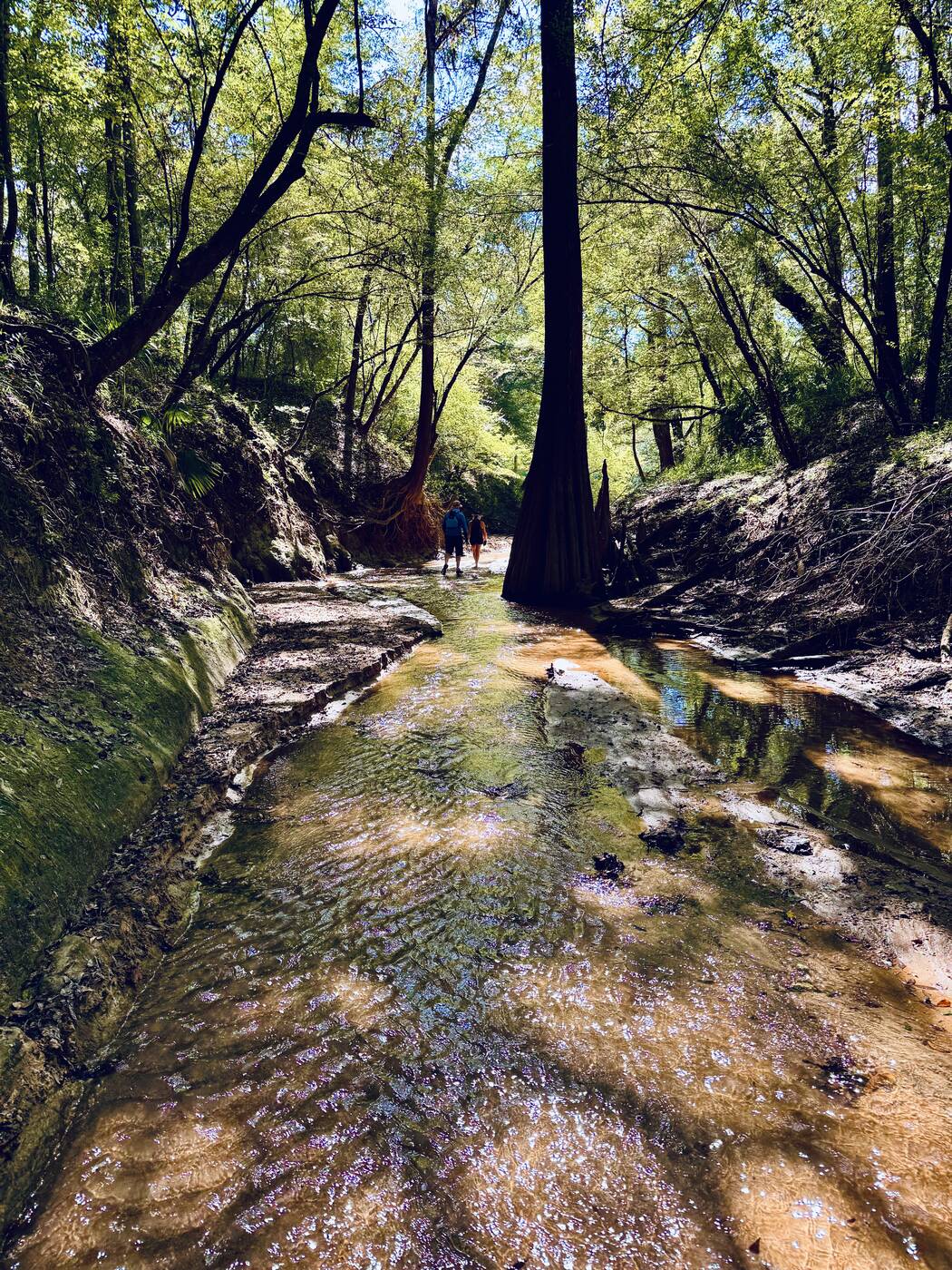
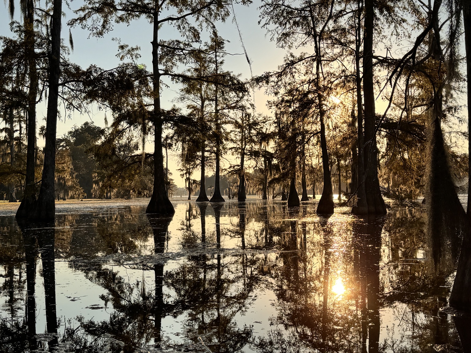
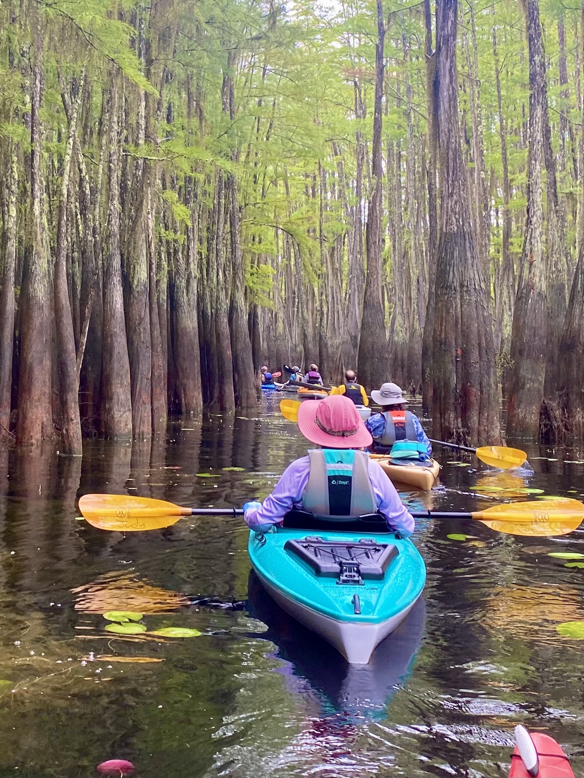
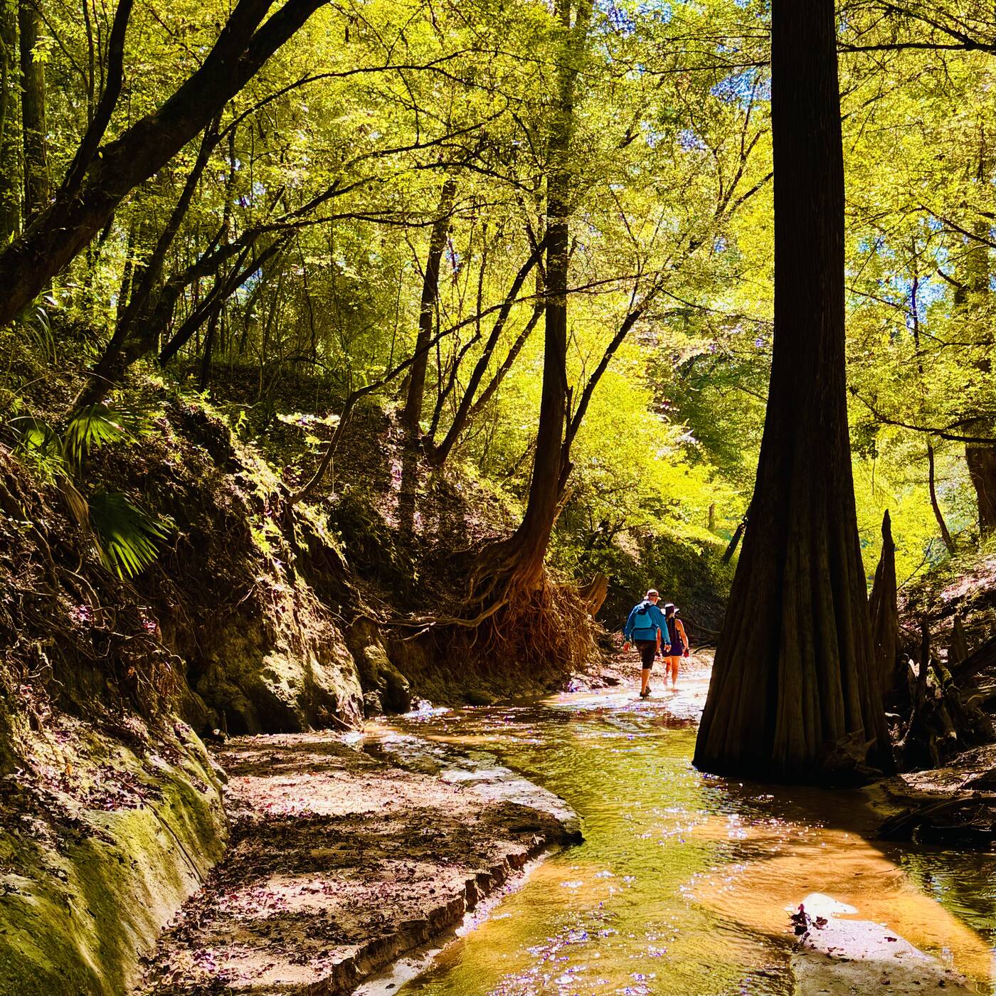
A narrow cypress-lined creek beside the river
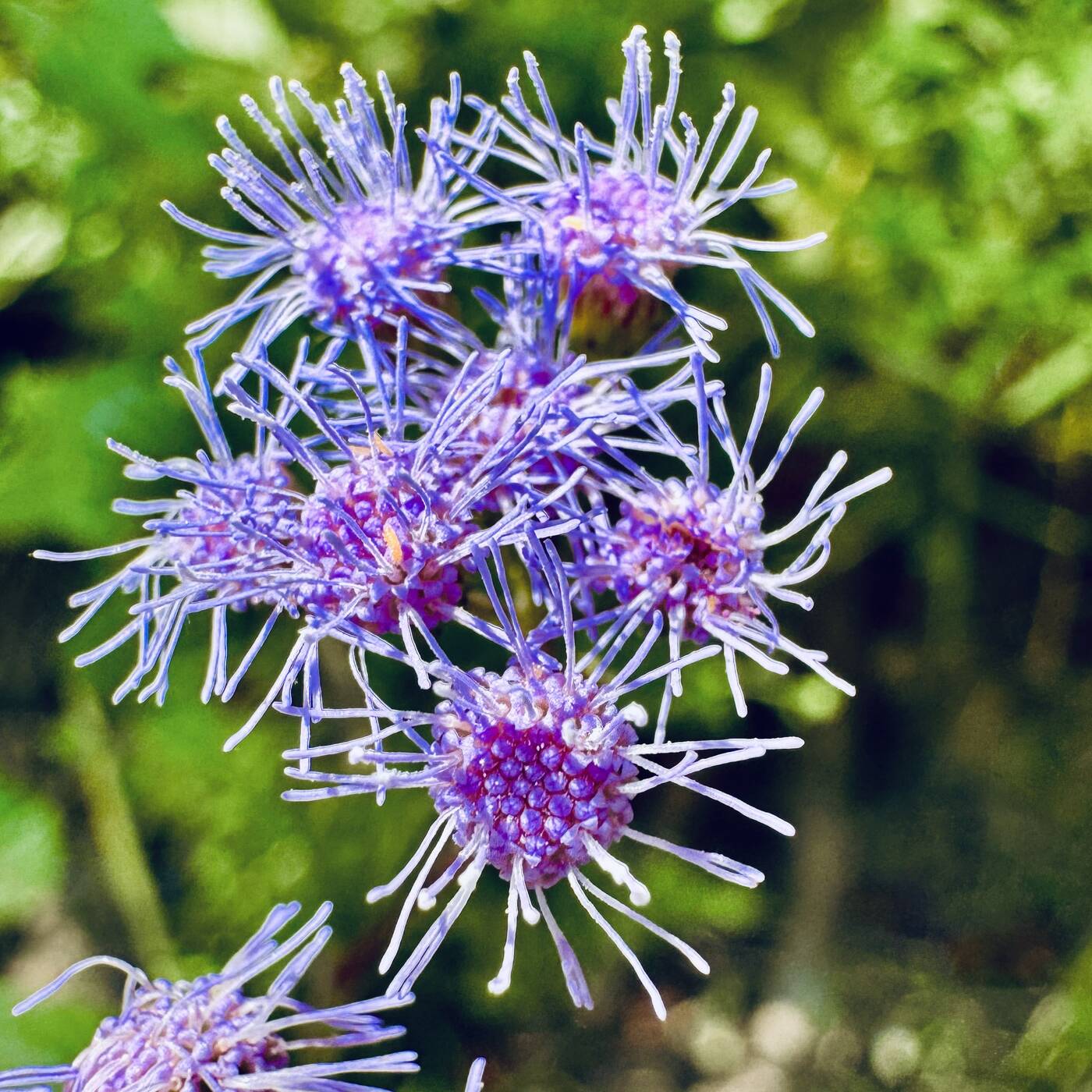
Blue mistflower blooming beside the water
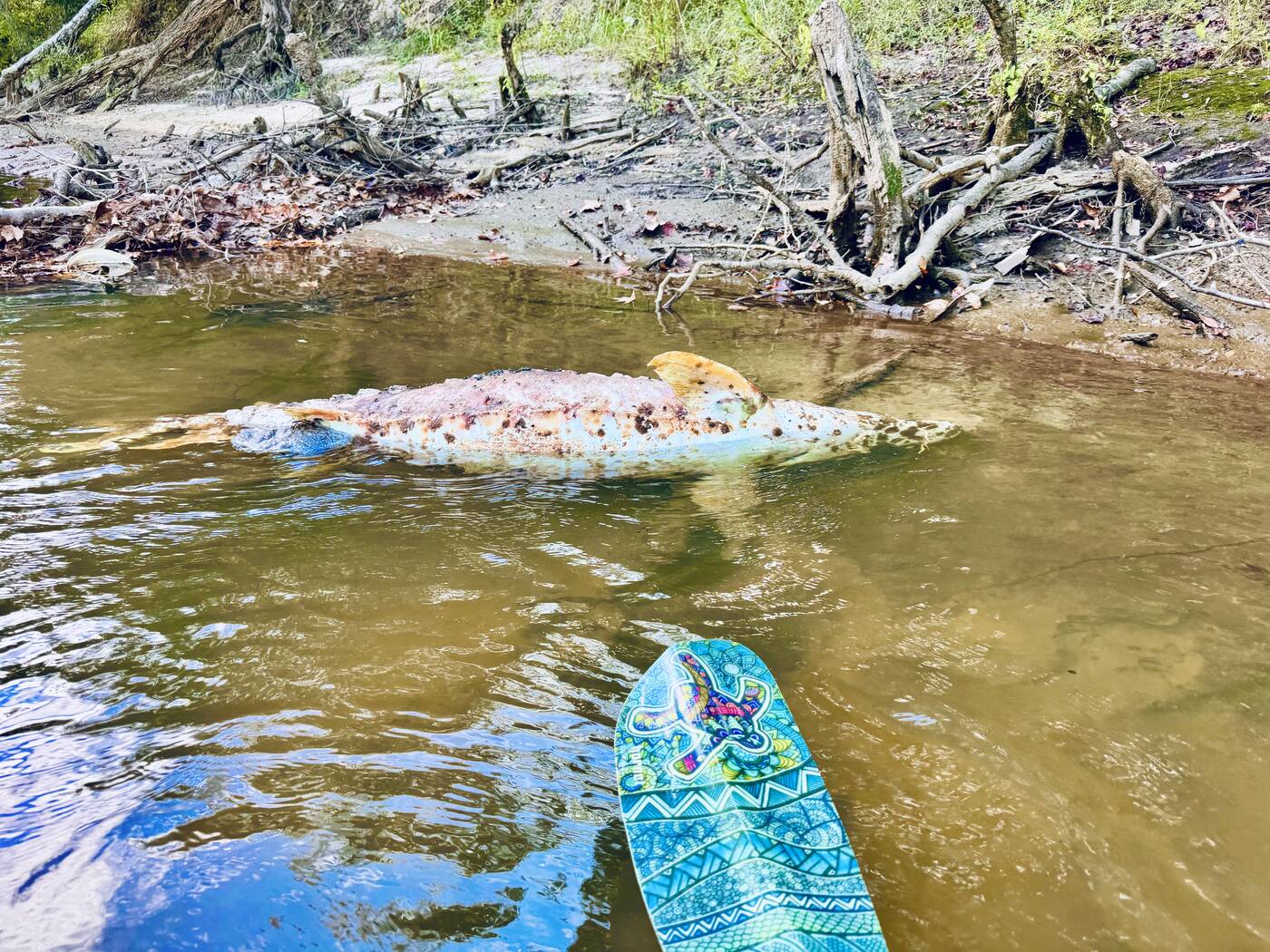
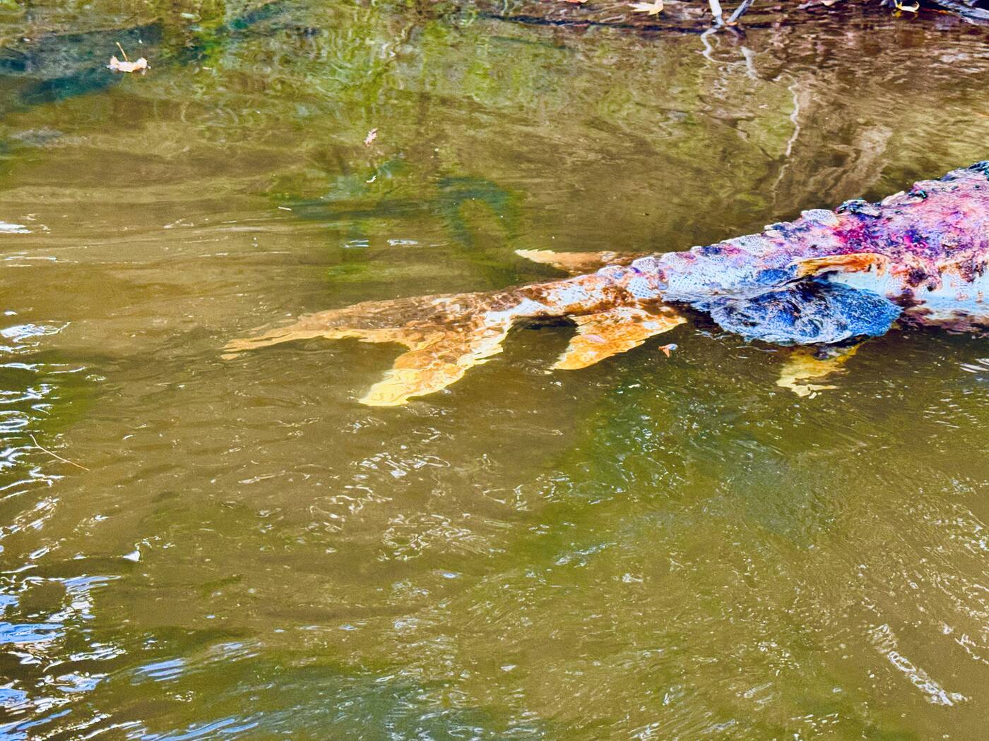
A deceased sturgeon seen along the side of the Choctawhatchee River
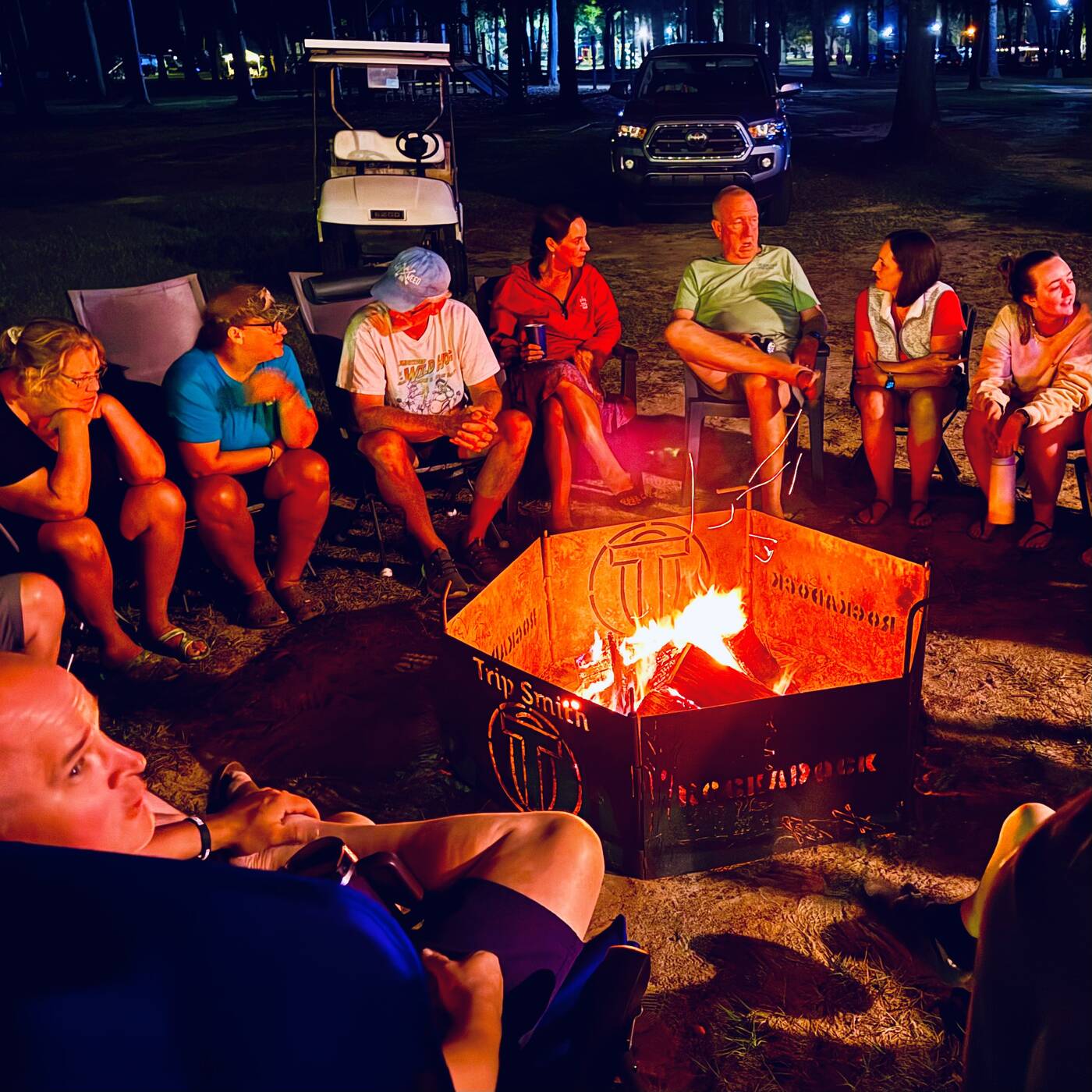
RockADock friends gathered around a campfire
Florida Panhandle · October 1, 2025

Choctawhatchee River

A RockADock day of broad tea-colored water, shallow sandbars, cypress-lined side channels, wildflowers, wildlife, and a campfire waiting at the end.

RockADock 2025

Five river miles packed with discovery

Our October 1 paddle followed the Choctawhatchee River from Baker Landing to Cerro Gordo Landing. The official mile markers put the shuttle at about 5.3 river miles, but the day became much more than a short float when exposed sandbars and a narrow side creek invited us out of our boats to explore.

DateOctober 1, 2025
GatheringRockADock 2025
RouteBaker to Cerro Gordo
DistanceAbout 5.3 miles
Before launch

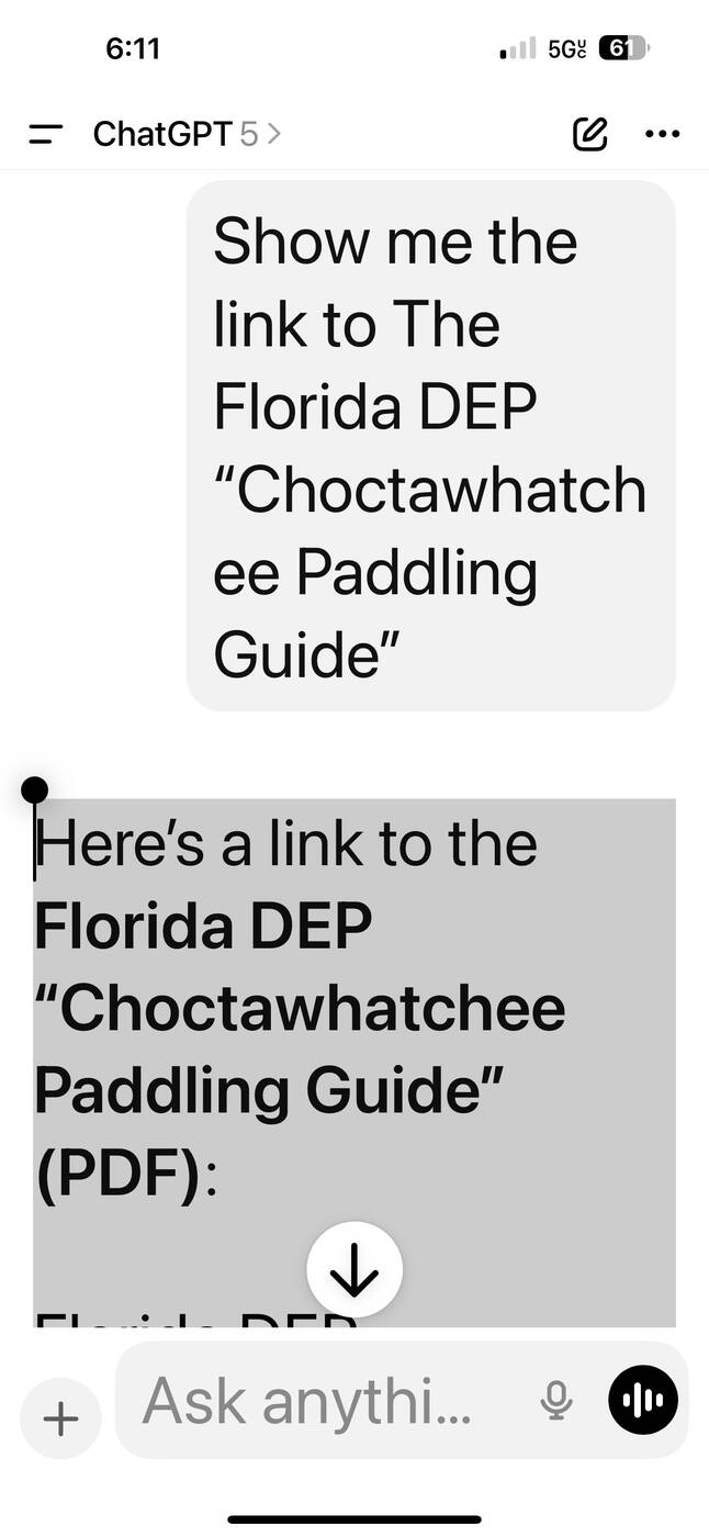
Starting with the official paddling guide

The day began before anyone put a kayak in the water. I looked up the Florida Department of Environmental Protection’s Choctawhatchee Paddling Guide so we could place the landings, understand the route, and see where our short section fit into the much larger river.

The screenshot became a small piece of the trip’s history. It records the practical planning behind the adventure and confirms the official spelling of a river name that is nearly as challenging as the paddle was enjoyable.

ChatGPT conversation locating the Florida DEP Choctawhatchee Paddling Guide
#1 Planning the day by locating the official Florida DEP Choctawhatchee Paddling Guide before we launched. A link to the paddling guide is included farther down on this page.
Baker Landing

A bright beginning on a shallow river

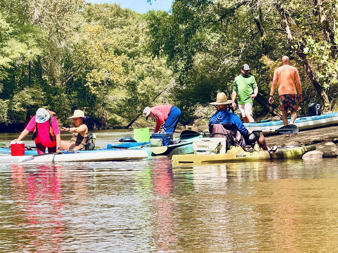
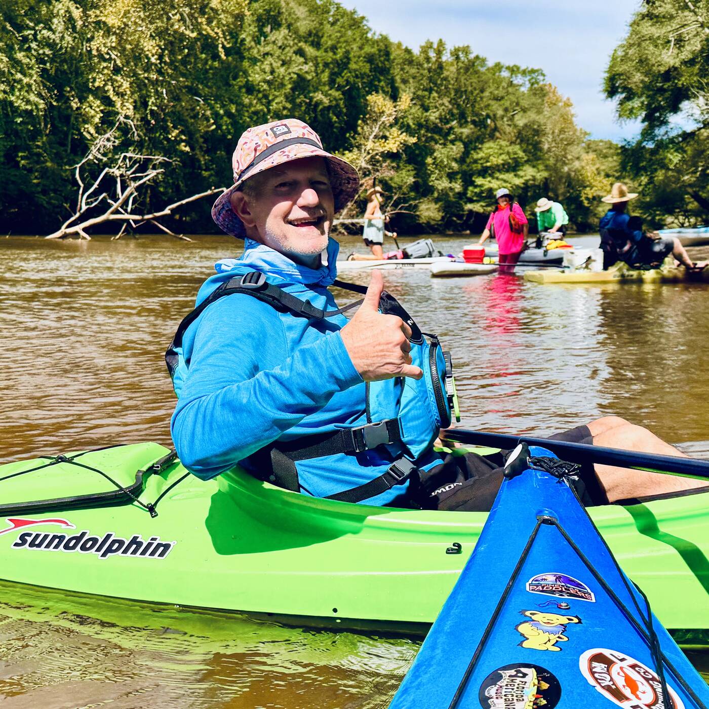
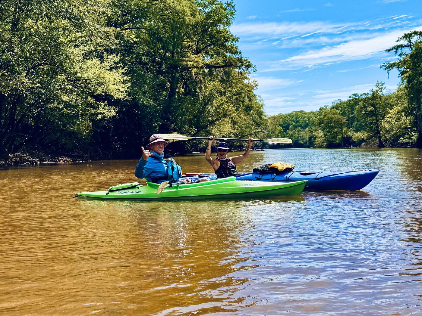
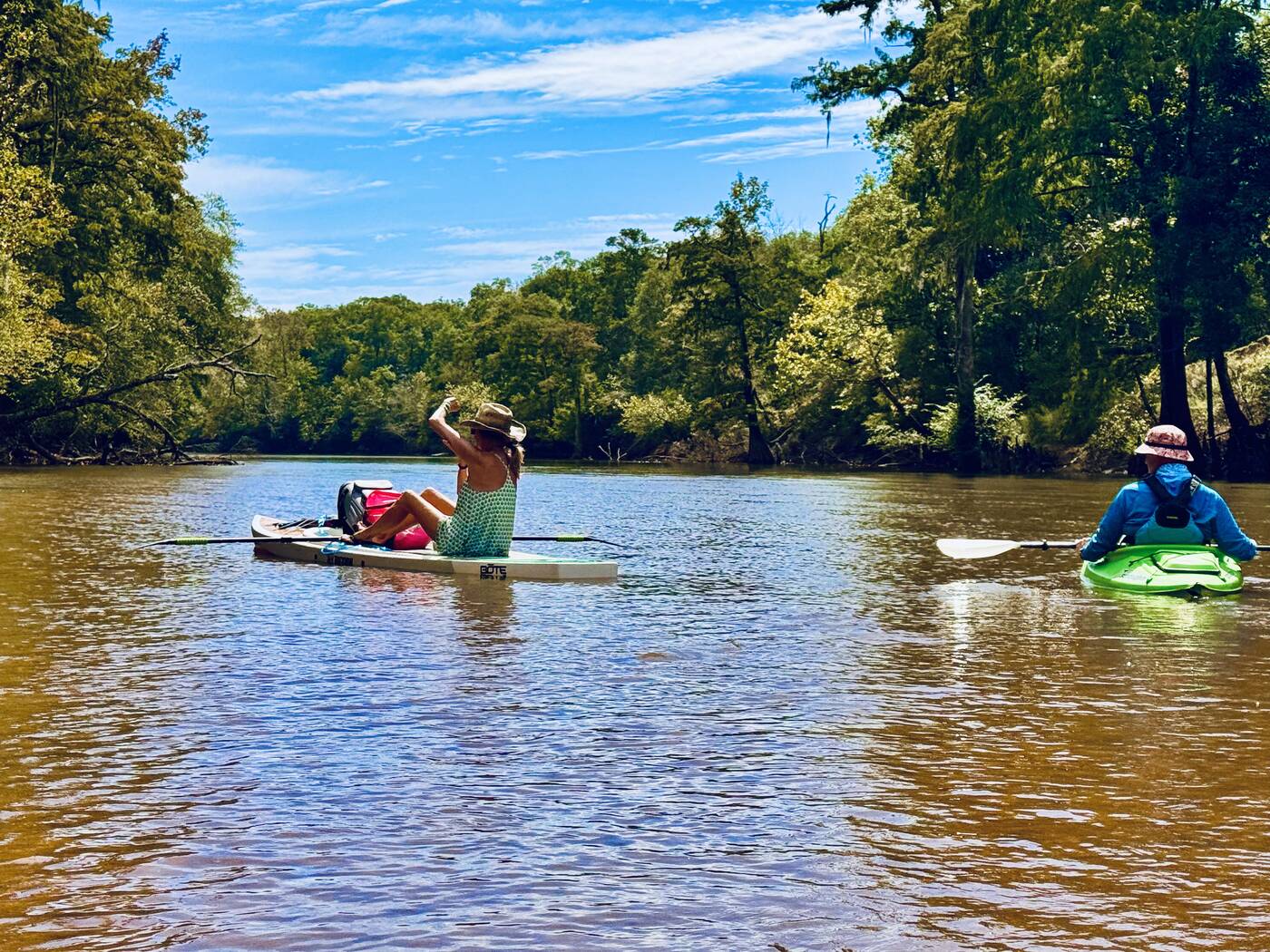
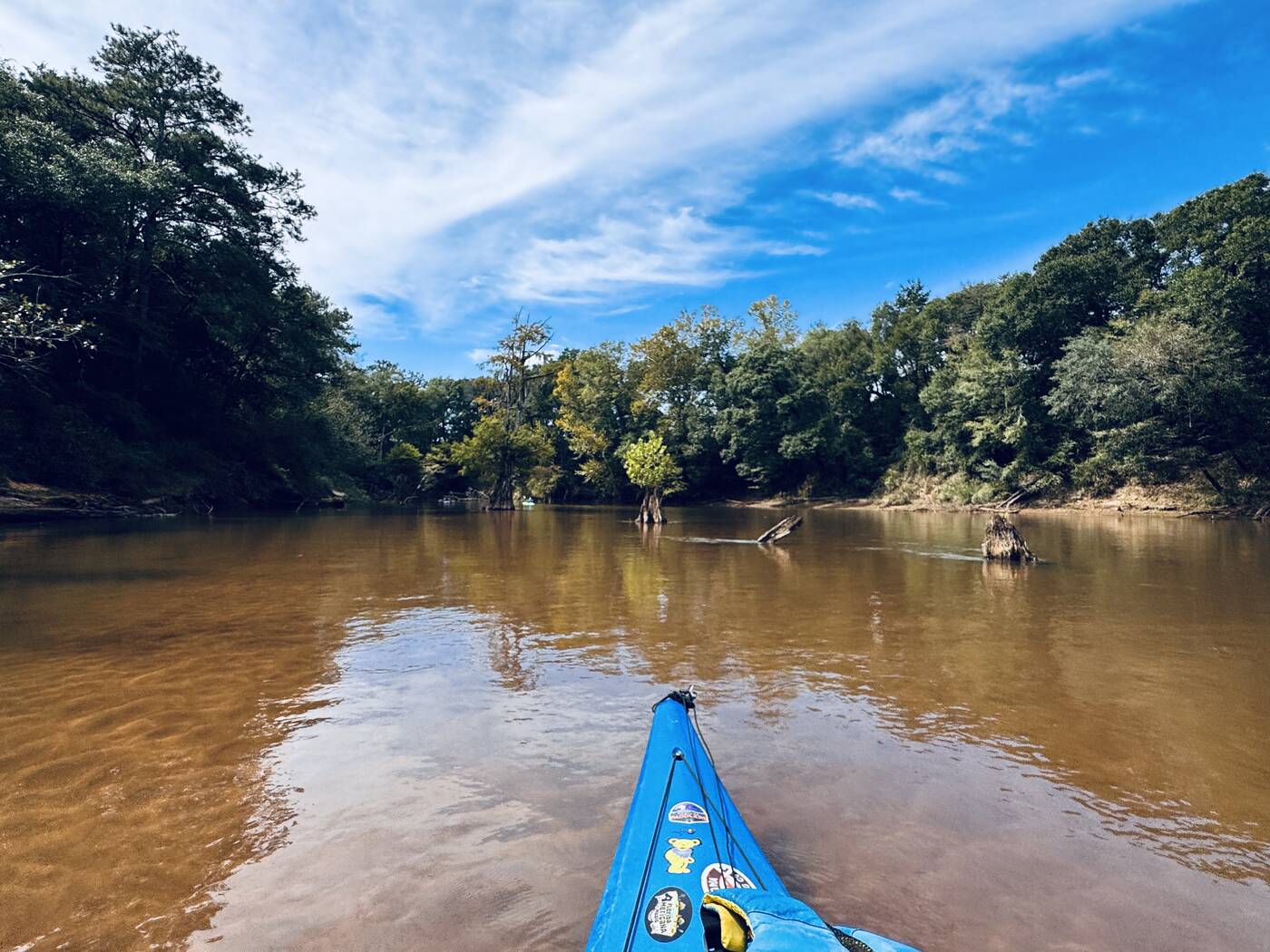
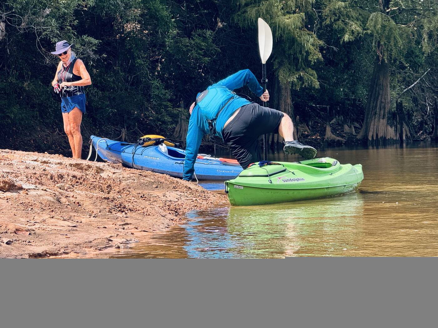
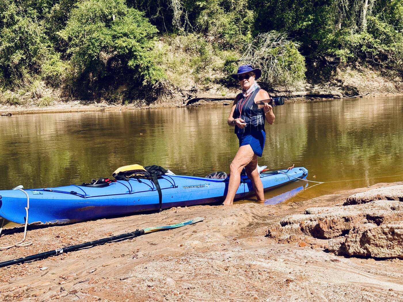
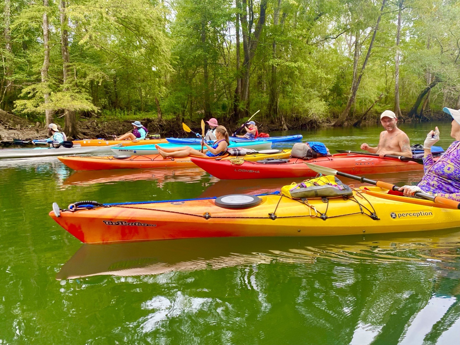
We launched at Baker Landing, also known as Warehouse Landing, on the west side of the river. The water was low enough to expose broad areas of pale sand, immediately giving the river a playful, changeable character. Boats gathered at the edges of the bars while everyone chose a line through the shallow water.

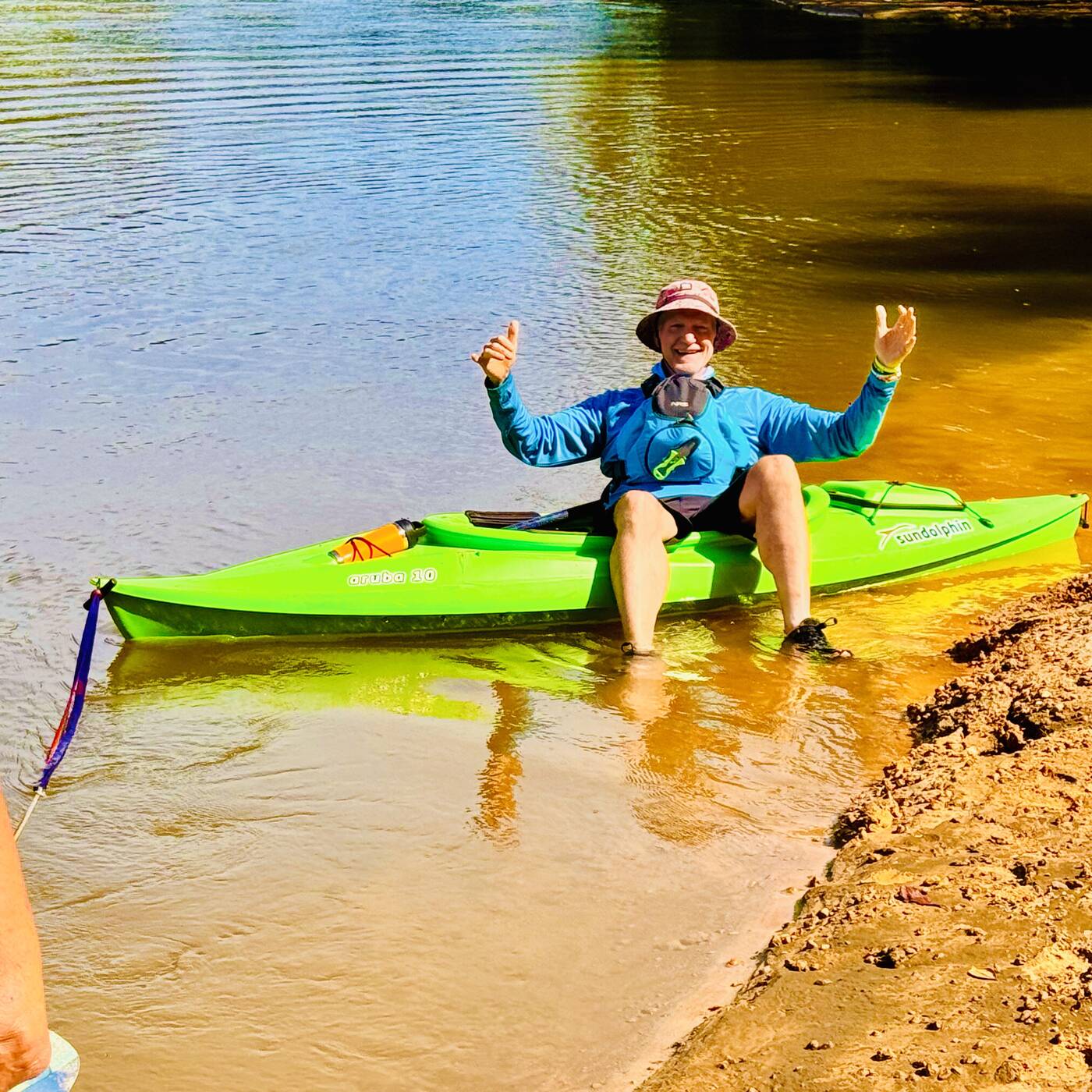
RockADock paddles are always shaped by the people sharing them. Ray was easy to spot in his blue kayak as we moved downstream beneath a brilliant October sky.
RockADock paddlers launching in shallow water at Baker Landing
#5 The colorful RockADock group launching into the shallow water at Baker Landing.
Sandbars and shorelines
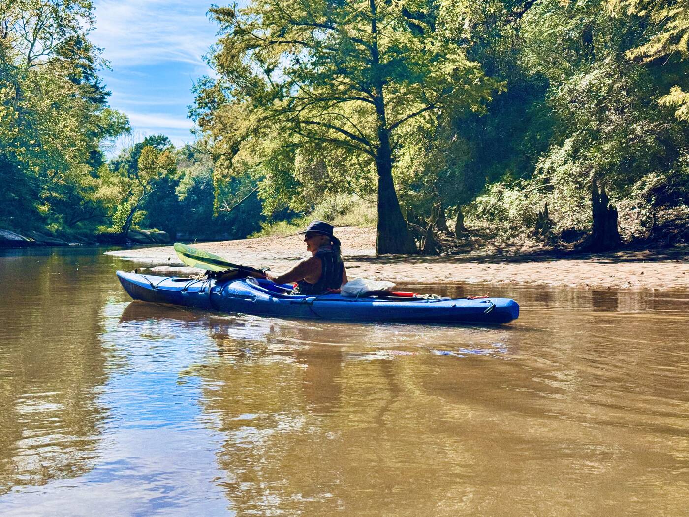
The river revealed its sandy foundation
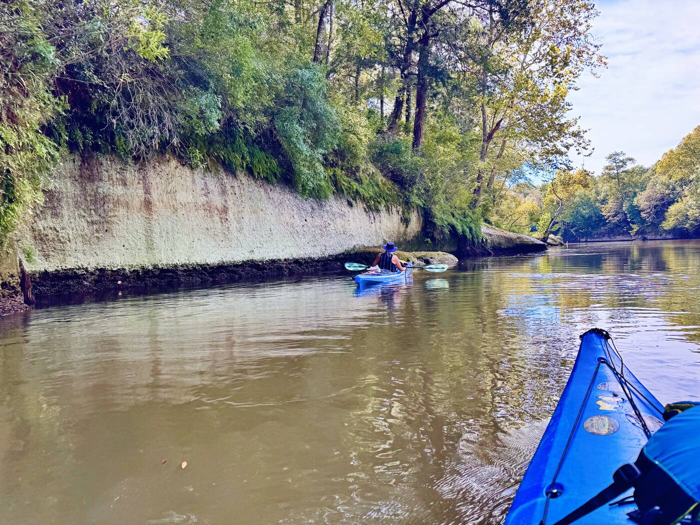
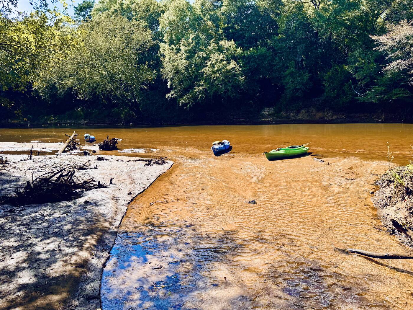
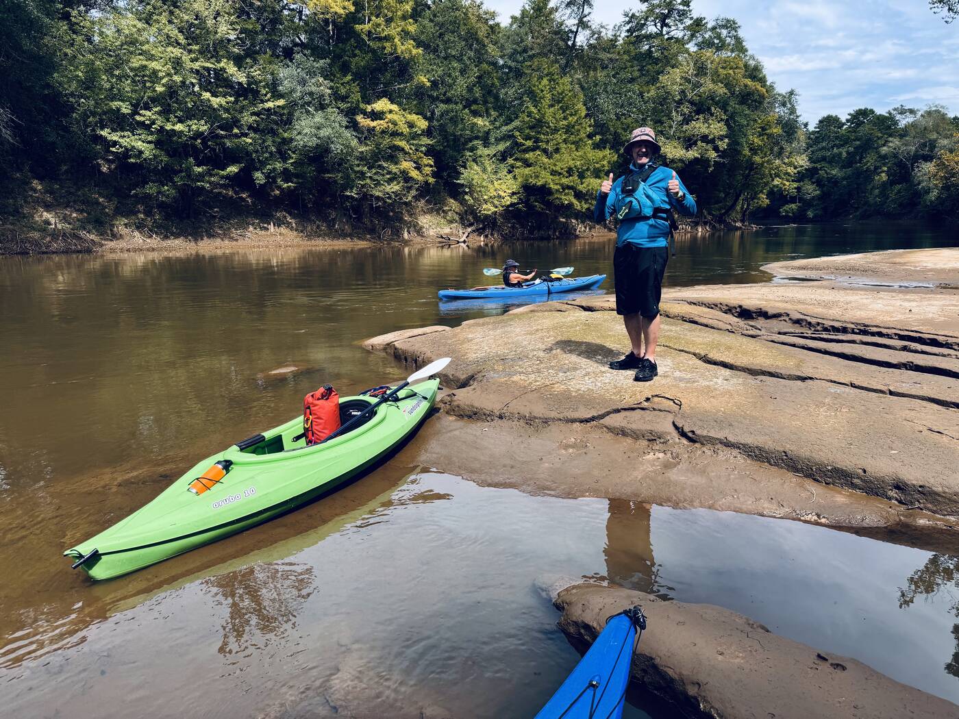
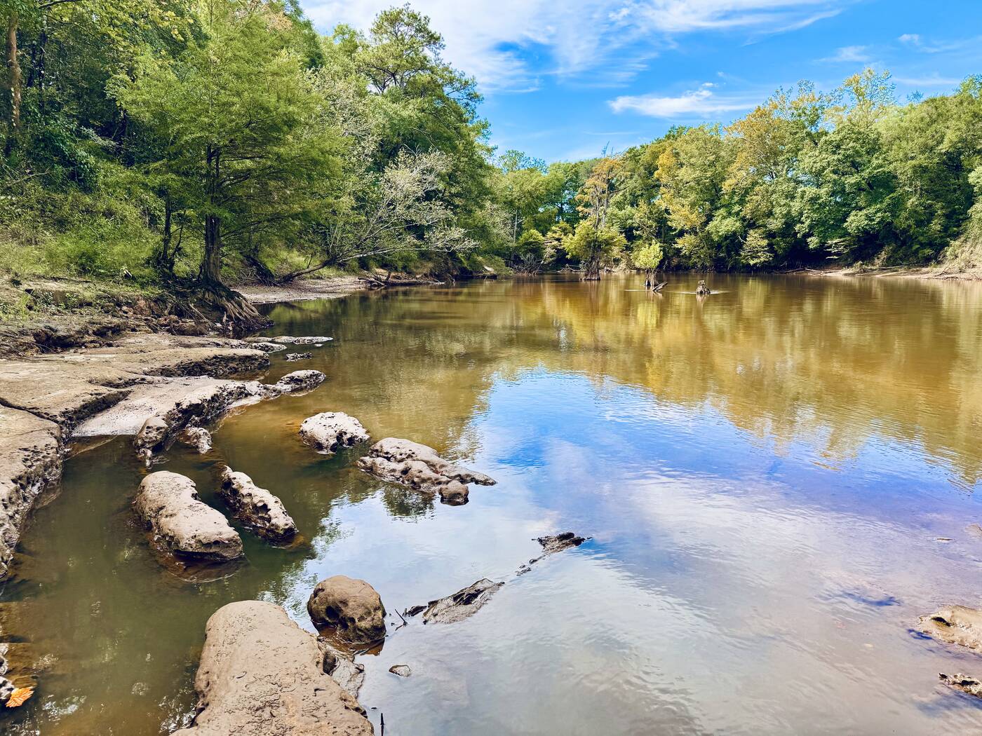
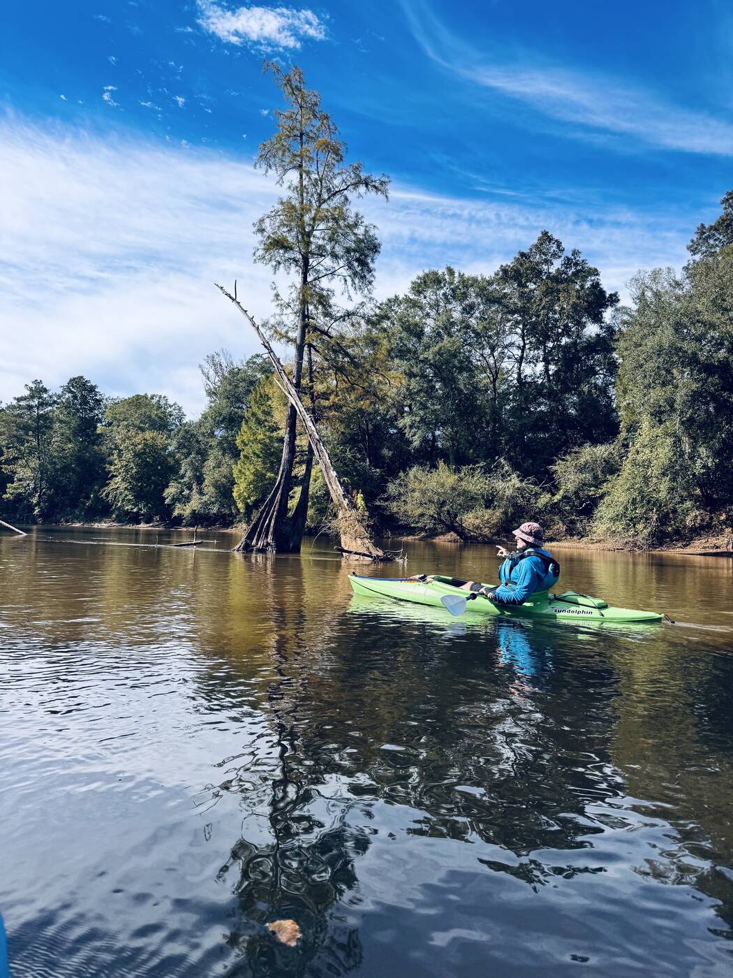
At low water the Choctawhatchee showed us features that higher flows would have hidden: rippled sand beneath our bows, sharply eroded banks, stranded branches, and little beaches that made natural stopping places. Every bend looked temporary, as though the next good flood might erase one bar and build another somewhere downstream.

The open sand also brought us close to the smaller details. Blue wildflowers bloomed at the edge of the floodplain, adding an unexpected burst of color against the tan banks and deep green forest.

Kayaks beside a shallow sandbar and woody debris
#9 Shallow water, fresh sand, and woody debris made the river’s constantly changing character easy to see.
The short distance between landings left us plenty of time to stop, wander, notice the wildflowers, and follow curiosity into a narrow creek.
A side-creek adventure

Out of the kayaks and into the cypress

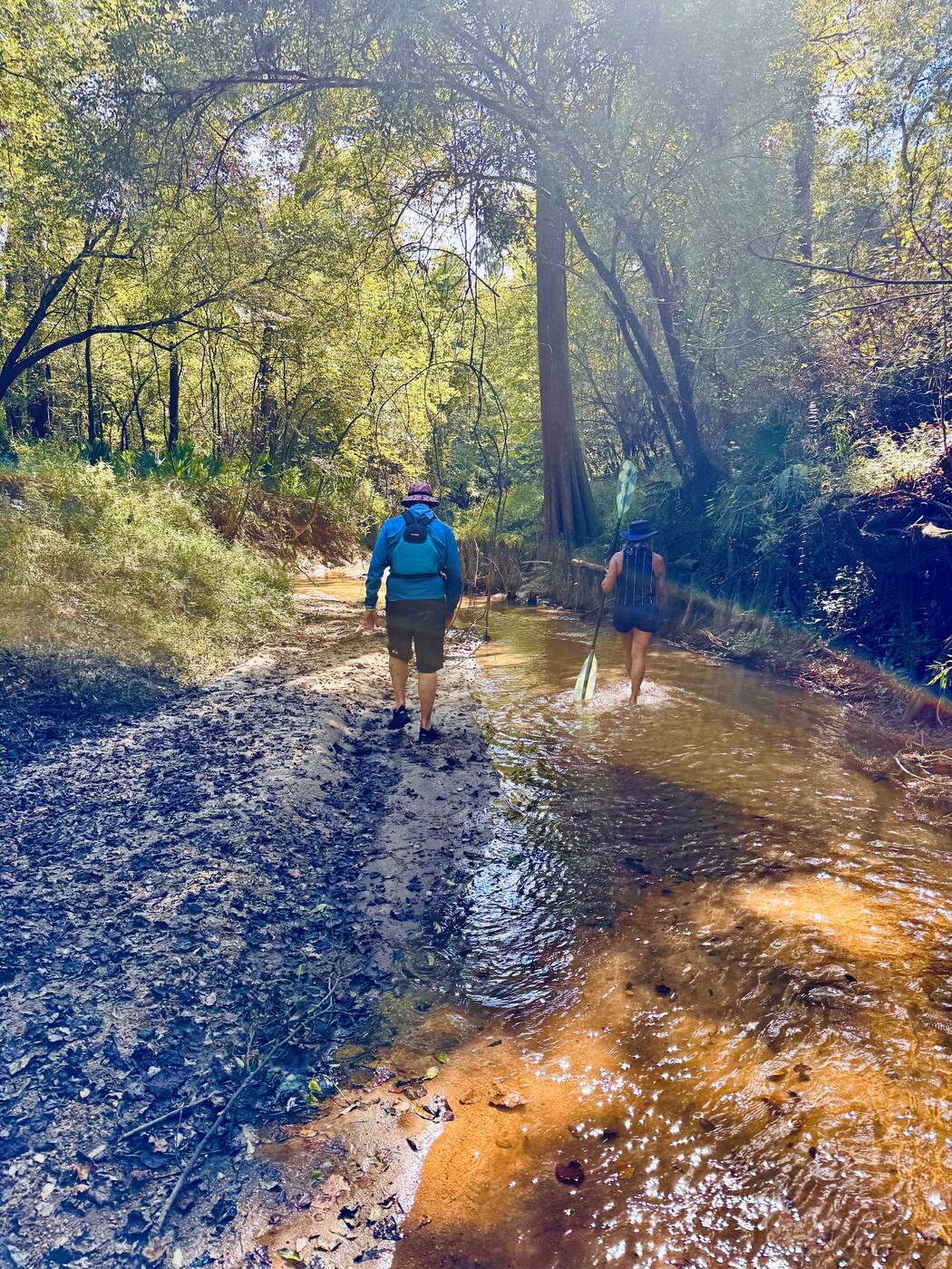
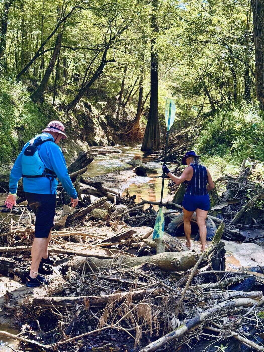
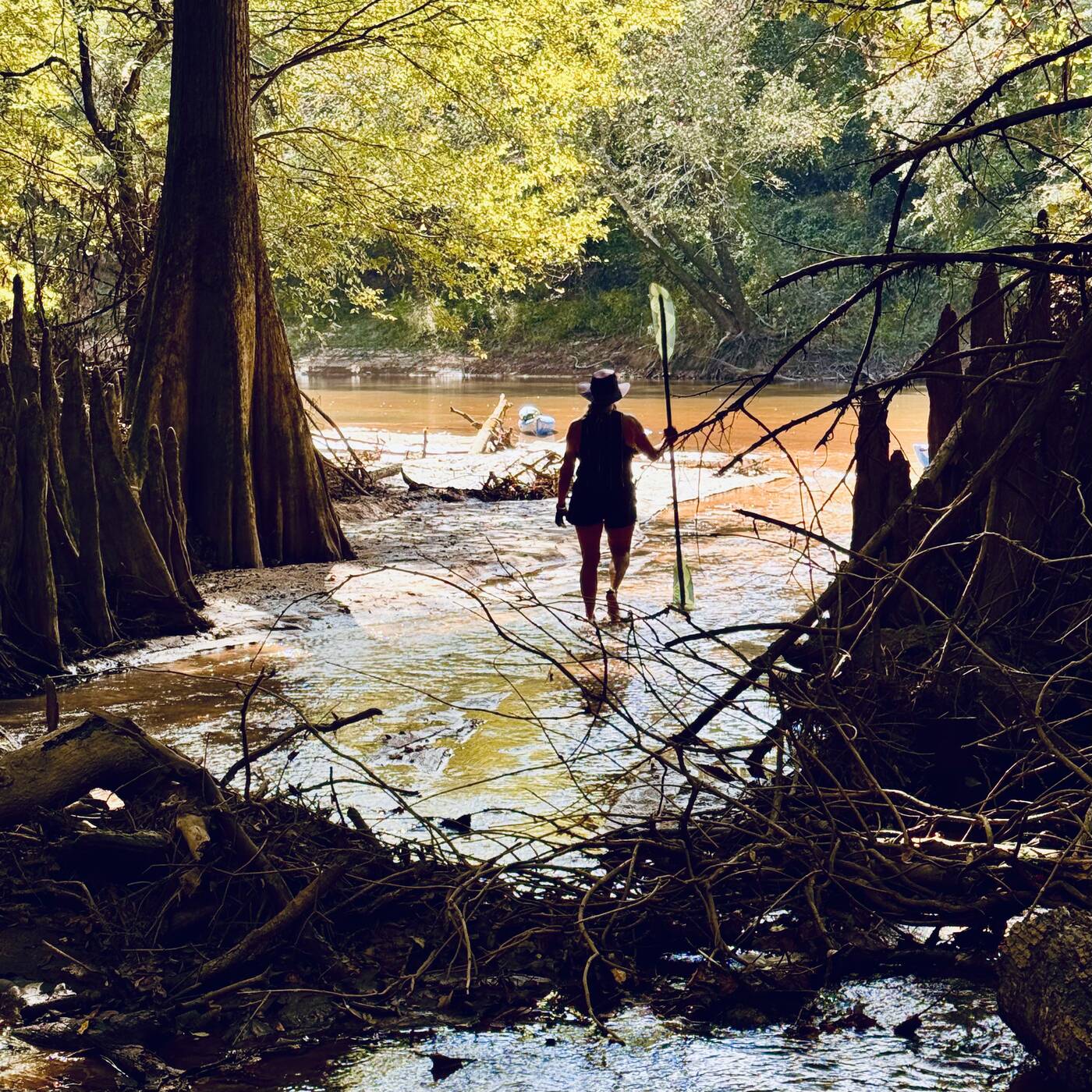
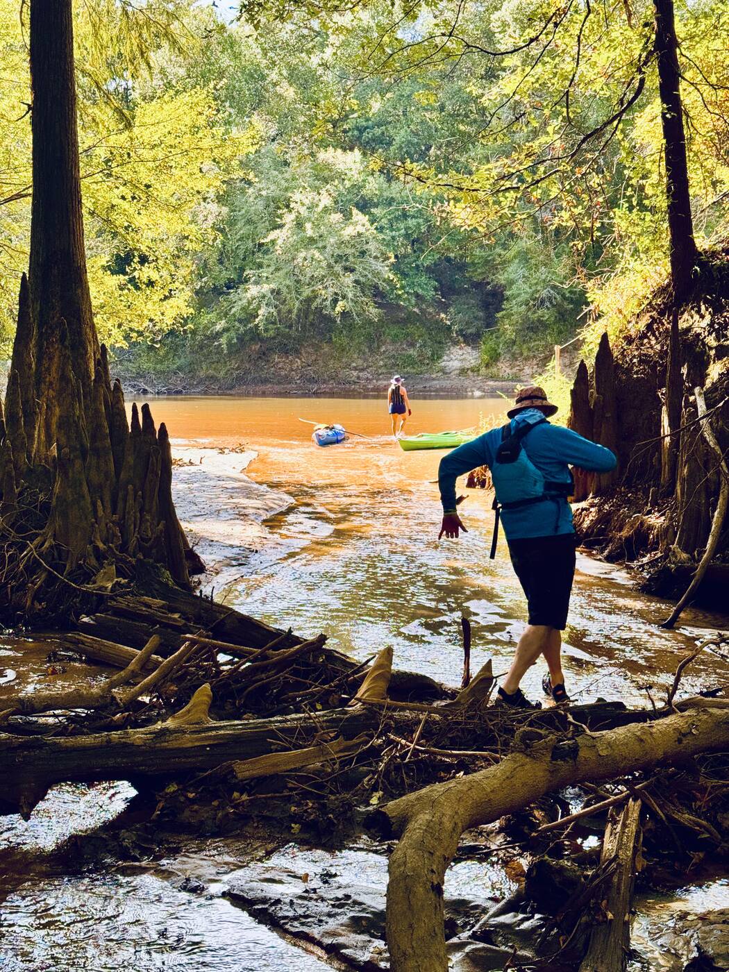
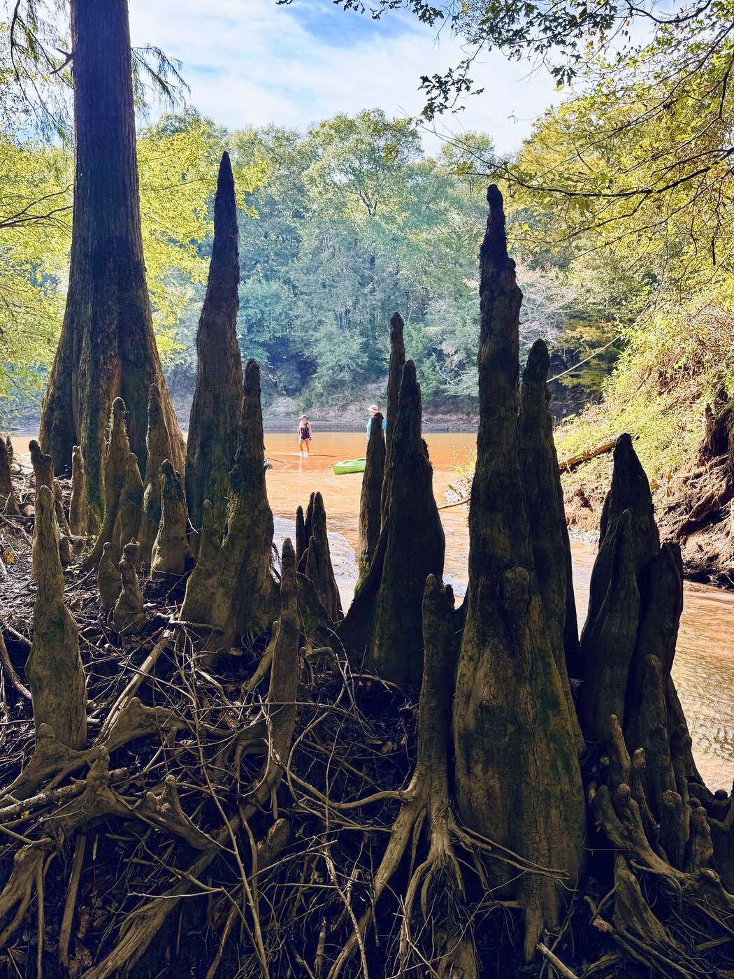
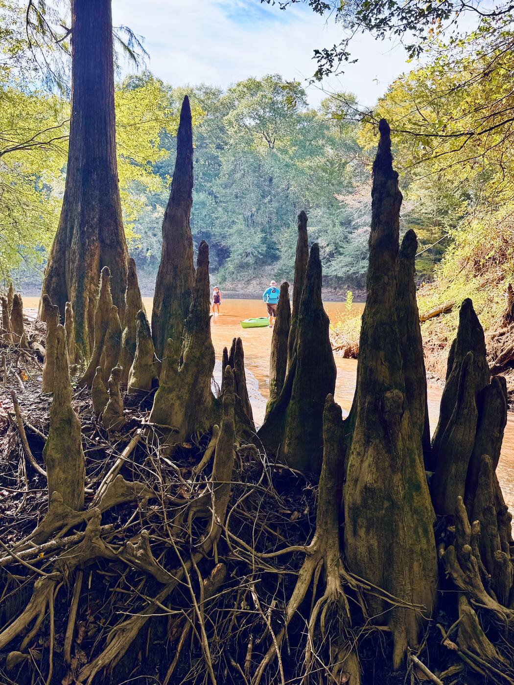
One of the day’s best detours led away from the broad river and into a shallow, intimate creek. We left the boats behind and continued on foot through ankle-deep water, sand, roots, and fallen timber. Towering cypress trunks and fantastic clusters of knees gave the little channel the feeling of a hidden room in the floodplain.

Progress became its own puzzle. We stepped over logs, squeezed between trunks, and kept following the water as sunlight filtered through the canopy. It was exactly the sort of unscripted exploration that can turn an ordinary paddle into a story worth remembering.

Exploring a narrow sandy creek among tall cypress trees
#41 Our side trip carried us on foot into a narrow cypress-lined creek beyond the main river.
A river governed by rainfall

Low water shaped everything we saw

The official guide warns that the Choctawhatchee can rise quickly after heavy rain and recommends checking both the forecast and the USGS gauge near Pittman. It describes levels below 10 feet at that gauge as generally best for paddling and camping.

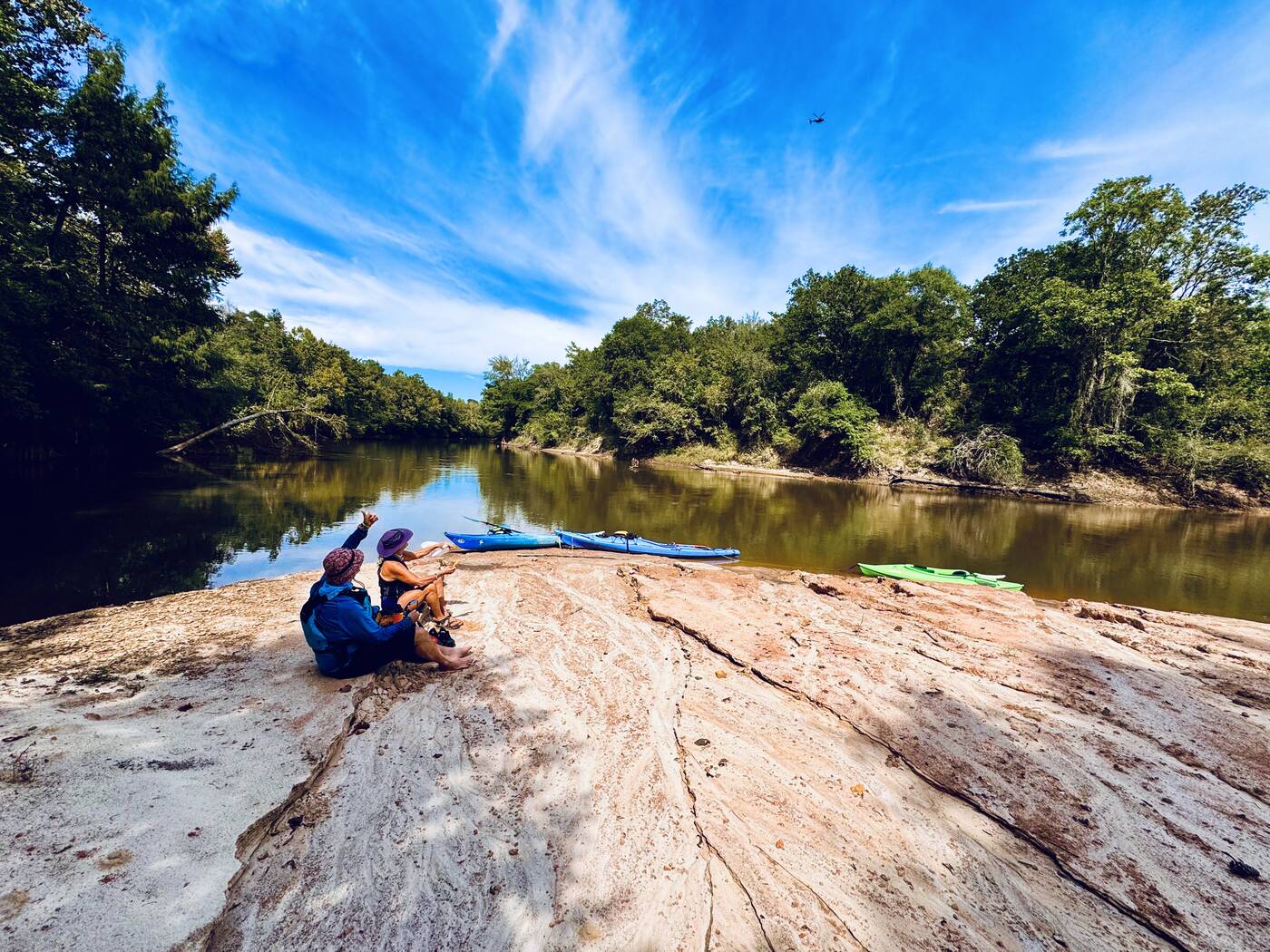
Our photographs show exactly what lower water reveals: broad sandbars, shallow passages, exposed woody debris, sharply cut banks, and places where we could step out and explore. The guide also notes that the river is mostly undeveloped and that upper-river access points can be very isolated, making a carefully arranged shuttle and secure parking important parts of the trip.

A broad exposed sandbar on a quiet bend of the Choctawhatchee River
#56 Low water exposed the pale sandbars that define much of the upper blueway’s character.
A notable river sighting

A deceased sturgeon along the river

Back on the main channel, the quieter stretches offered long reflections and occasional wildlife. Along the side of the river, we came upon a deceased sturgeon and stopped long enough to take several photographs.

Sturgeon are an ancient and remarkable part of the Choctawhatchee River ecosystem, which made seeing one up close memorable, even under unfortunate circumstances.

A deceased sturgeon seen along the side of the Choctawhatchee River
#58 A deceased sturgeon seen along the side of the Choctawhatchee River.
Our route

Baker Landing to Cerro Gordo Landing

We launched at Baker Landing, a single concrete ramp at blueway mile 6.7, and paddled downstream to Cerro Gordo Landing at mile 12.0. Both are established west-bank access points, and the trip requires a vehicle shuttle.

Baker Landing: approximately 30.8905, −85.8821. River levels, sandbars, woody debris, and access conditions can change, so check current conditions before paddling.

Back at RockADock

The paddle ended, but the day did not

After the takeout at Cerro Gordo, the river portion of the adventure was finished. The RockADock day still had one more chapter waiting back at camp.

Colored lights illuminated the RockADock banner while friends gathered around the fire. As always, paddling was only part of what made the event memorable. The evening conversations, laughter, and stories carried the day well beyond the final landing.

RockADock friends gathered around a campfire at night
#59 Friends gathered around the RockADock fire after another full day on the water.
Tomorrow’s plan

One adventure leading directly into another

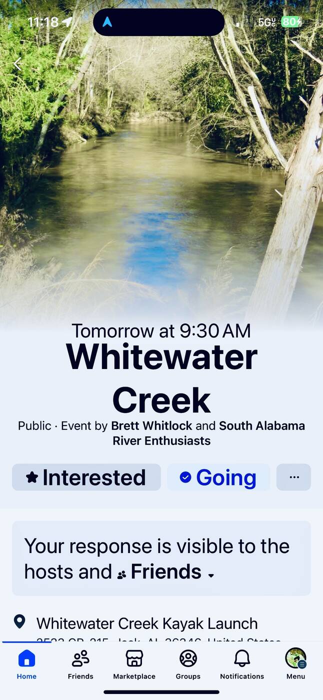
The final screenshot captures something essential about RockADock: before one day is even over, the next paddle is already taking shape. The Facebook event announced a 9:30 a.m. Whitewater Creek paddle hosted by Brett Whitlock and South Alabama River Enthusiasts for the following morning.

That invitation connected this relaxed Choctawhatchee day with a very different adventure on Whitewater Creek. It also records how the gathering works in real life, with routes, leaders, and plans shared among paddlers as the week unfolds.

Facebook event for the following morning’s Whitewater Creek paddle
#60 The next adventure was already waiting: the Whitewater Creek paddle we did with RockADock the following day.
Two moments in motion

Videos from the creek and camp

Moving deeper into the shaded side creek during our on-foot exploration.
RockADock after dark, with the gathering continuing back at camp.
More RockADock adventures

My previous RockADock paddles

Follow the links below to see photographs and stories from my earlier RockADock paddles.

Surprise Me