Learning GIS
During my years with the Ashburnham Conservation Trust and the Land Trust, as well as the Conservation Commission, I was also in school at the same time, working on my environmental degree. I became very interested in learning GIS, especially Esri’s ArcGIS and ArcInfo. I was able to buy student versions for about $200 each, even though the full versions normally cost well over $1,000. I spent many days and nights teaching myself, working my way through books and chapter after chapter on creating GIS images and using them as tools for environmental work.
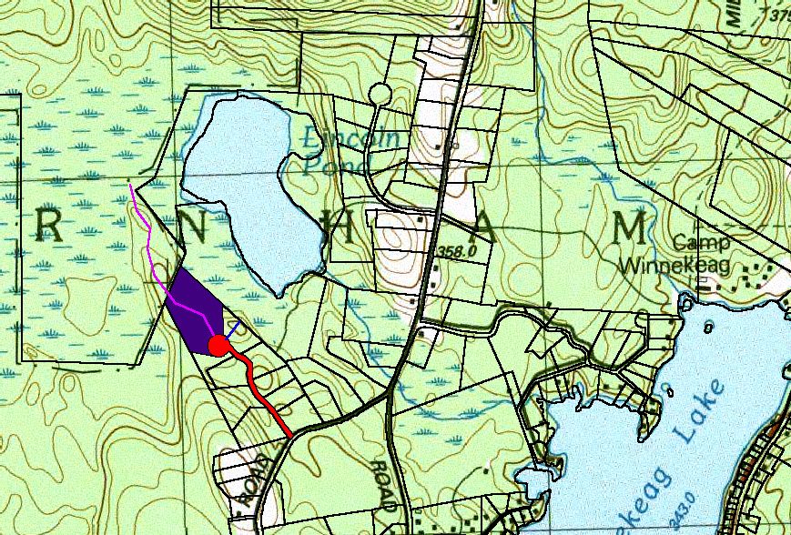
All images are clickable and open at full size.
Finding the Parcels Worth Protecting
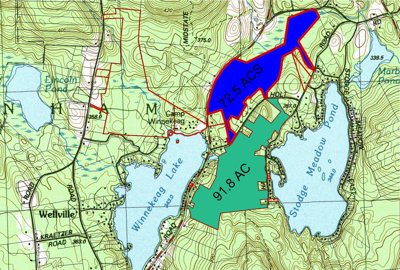
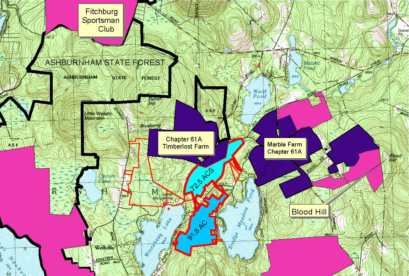
A big part of what we were doing in Ashburnham was trying to identify parcels that had what we considered a high environmental value for preservation. Around that same time, the state became involved in transferring parcel maps from paper copies into digital versions and making them available to the public as GIS layers. Suddenly we could begin putting all of this information together in ways that had never been practical before.
Building the Map in Layers
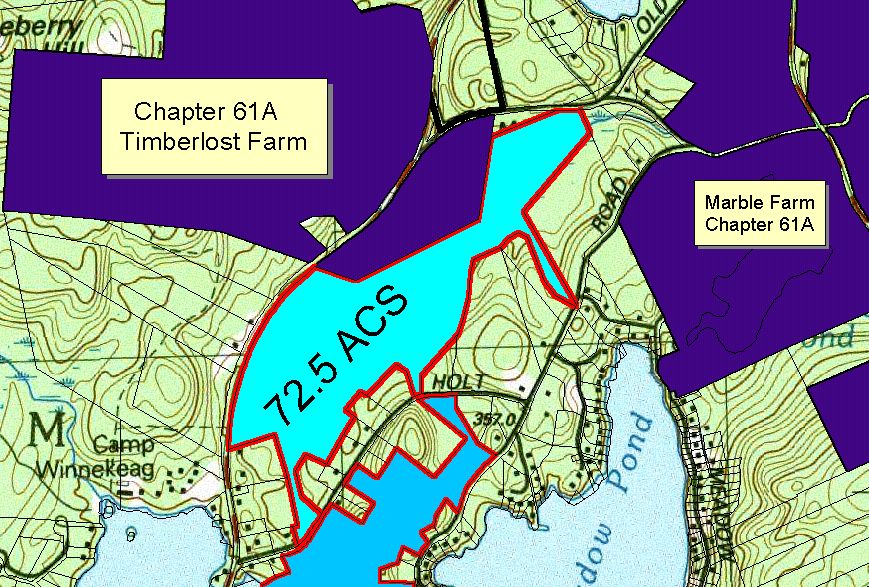
My office at USGS was also heavily involved in the conversion of the familiar features on topographic maps into GIS layers. That included contour elevations, parcel boundaries, wetlands, rivers, lakes, streams, municipal boundaries, churches, roads, highways, bridges, and just about everything else you could imagine seeing on a map. I even bought the student version of ArcPad so I could use a tablet in the field to add features such as fire hydrants, vernal pools, bird nests, crab trap locations, or virtually any other point or feature to the GIS environment.
GIS as a Conservation Tool
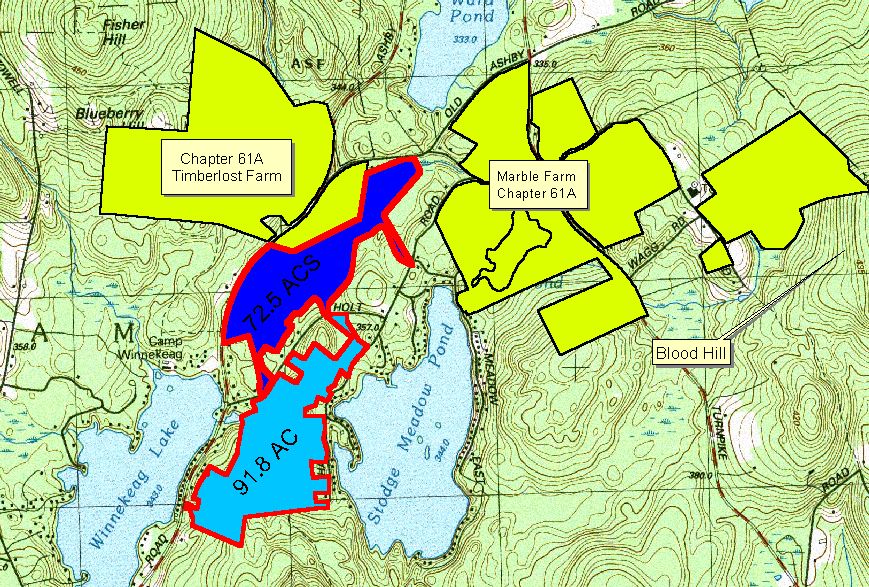
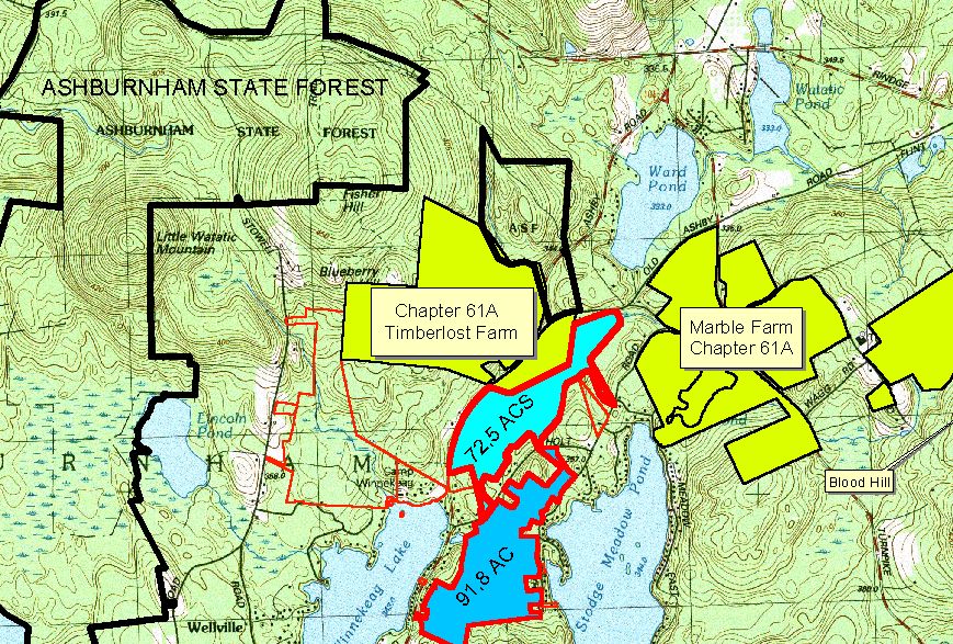
For the Land Trust and the Conservation Commission, GIS became a powerful conservation tool. We could analyze parcels and look for land with the least development or the greatest environmental value. We could overlay layers being created by the Natural Heritage and Endangered Species Program showing priority habitat and other areas considered especially valuable for preservation. We used those tools to help guide land acquisition and conservation decisions, rather than simply looking at a paper map and guessing.
Learning Wherever I Could
I went to many conferences and workshops to learn how to use these tools, but most of my learning came from the many hours I spent on my own. I also took a University of Massachusetts Amherst course for credit called GIS and Fisheries and Wildlife. There was a time when I really thought GIS might become the direction of my career. I was completely blown away by what it could do and by the possibilities of combining field observations, environmental data, and maps.
Choosing Rivers Over a Desk
Eventually, though, I realized how much I loved being outdoors and working on rivers. I loved pretty much running my own show and being accountable for the final product: giving the general public 24-hour, seven-day-a-week access to real-time streamflow and water-quality data. I excelled at that work and loved doing it. I was not stuck in budget meetings, and I did not have to spend my days explaining field realities to higher-ups who did not always understand what was happening on the ground.
Then Google Maps and Google Earth Arrived
Then Google Maps and Google Earth came along and changed everything again. I actually paid about $400 for Google Earth Pro because it could do so many incredible things. Eventually, of course, Google Earth Pro became free. Those newer tools superseded a lot of the things I had spent so much time learning to do the hard way, but by then I had learned an enormous amount about GIS, mapping, spatial analysis, and the way different environmental layers could be brought together to tell a story about the land. GIS has remained a love of mine for many years.